Snow Observations List
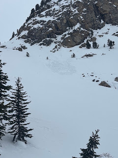
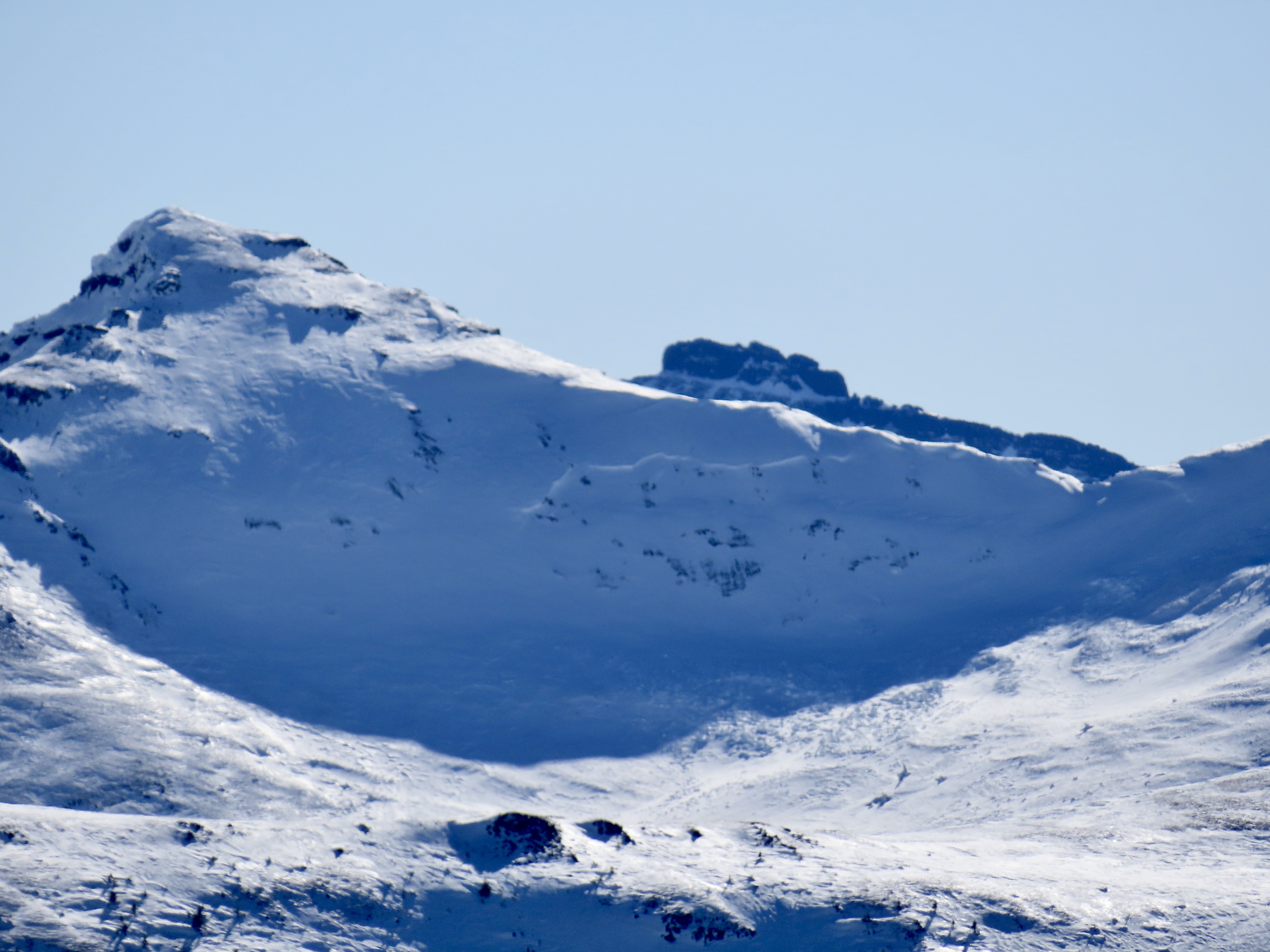
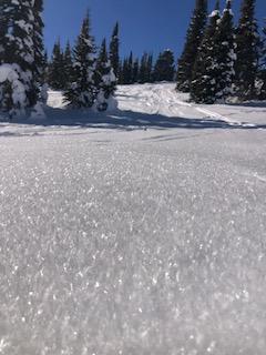
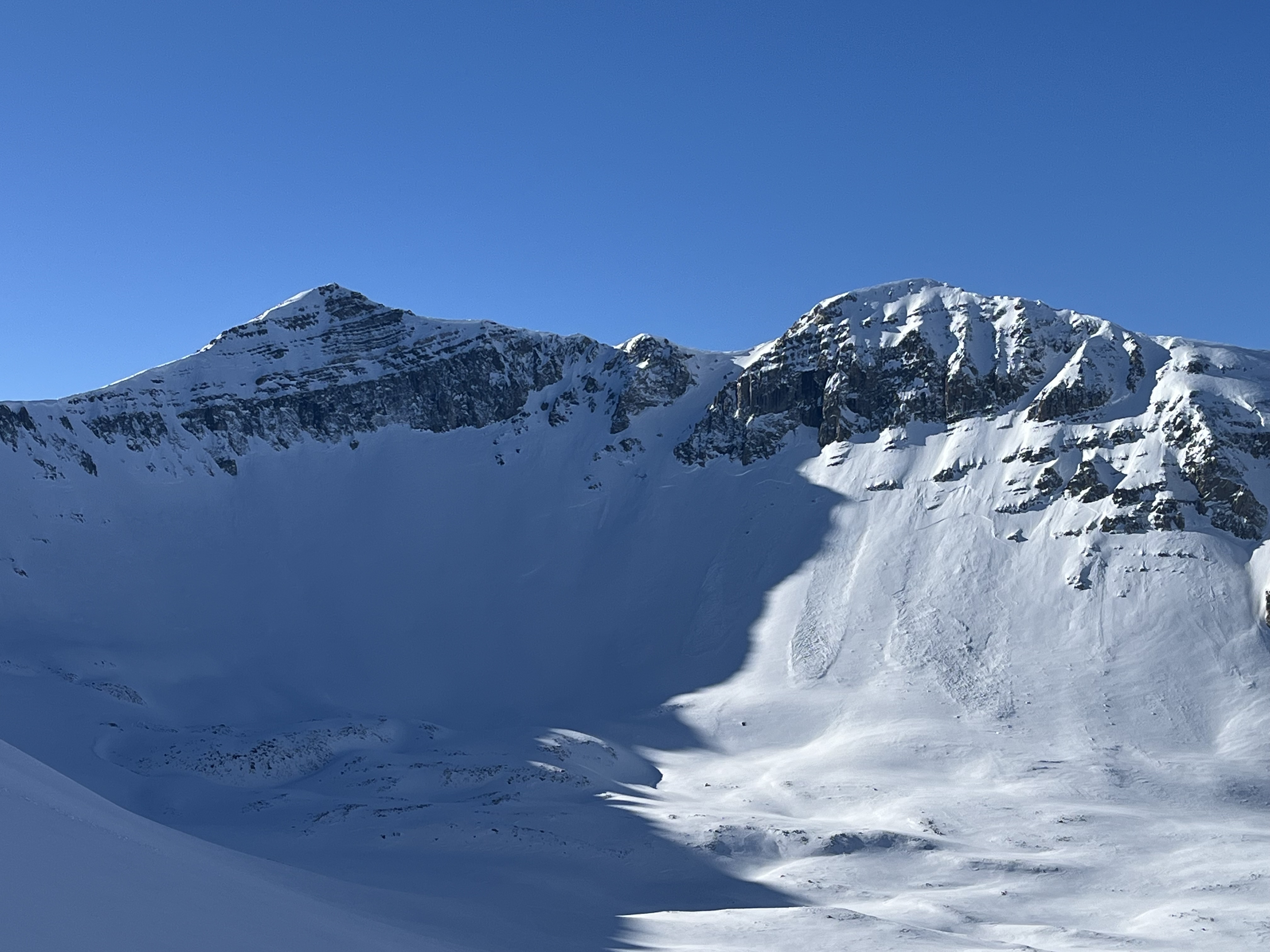
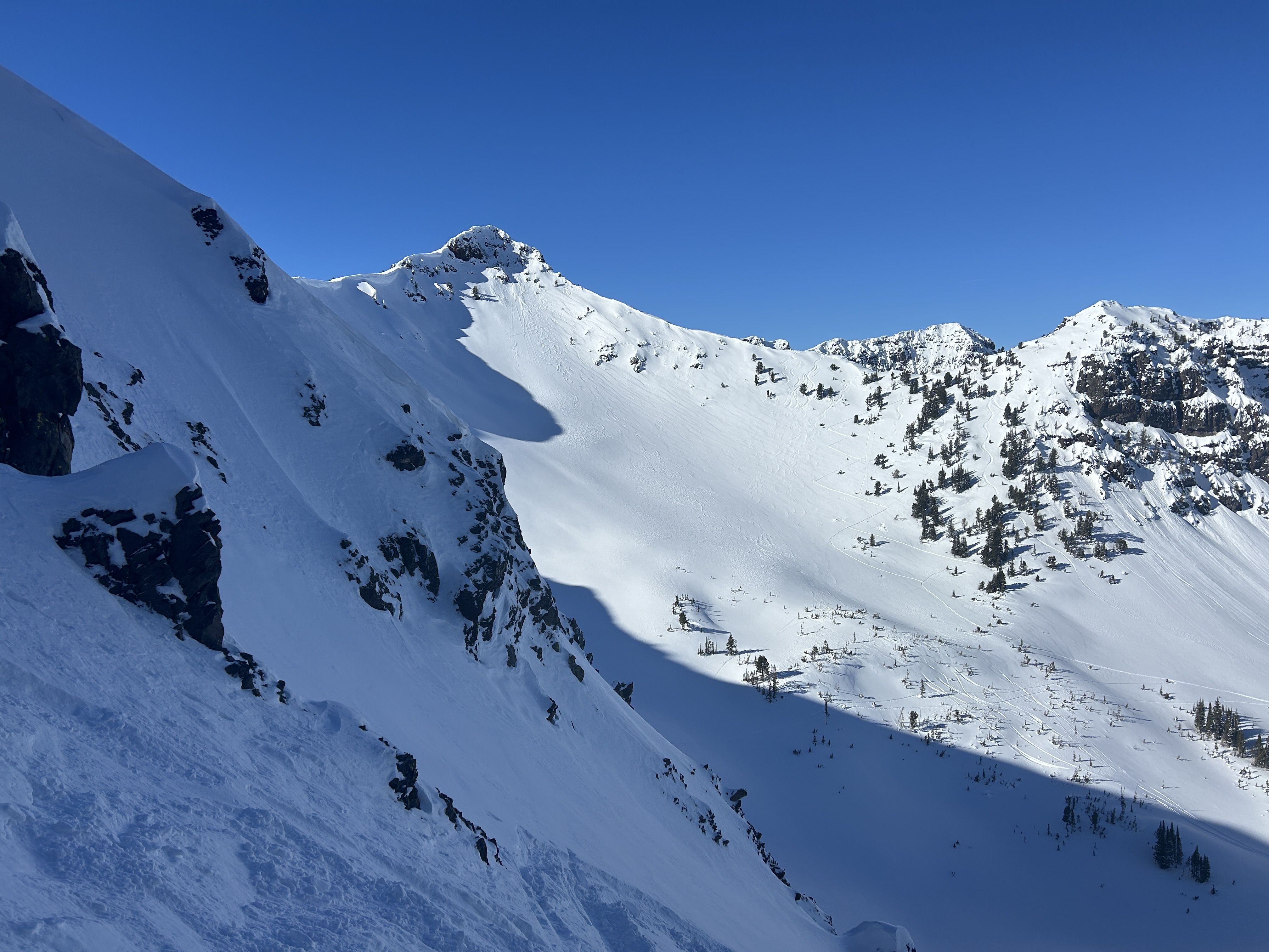
Skied into South Cottonwood basin from Blackmore today. Skiing was sub-par with lots of wind scouring and intense active snow transport. Along with the slides observed yesterday, two recent R1-D1 slides were observed in South Cottonwood Basin: below the Dogleg and on N Twin's west wall via cornice break. No surface hoar, slides from today, or cracking/collapsing were observed.
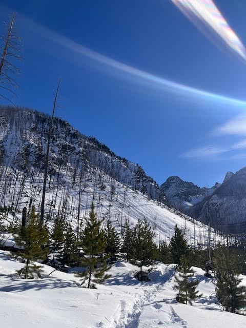
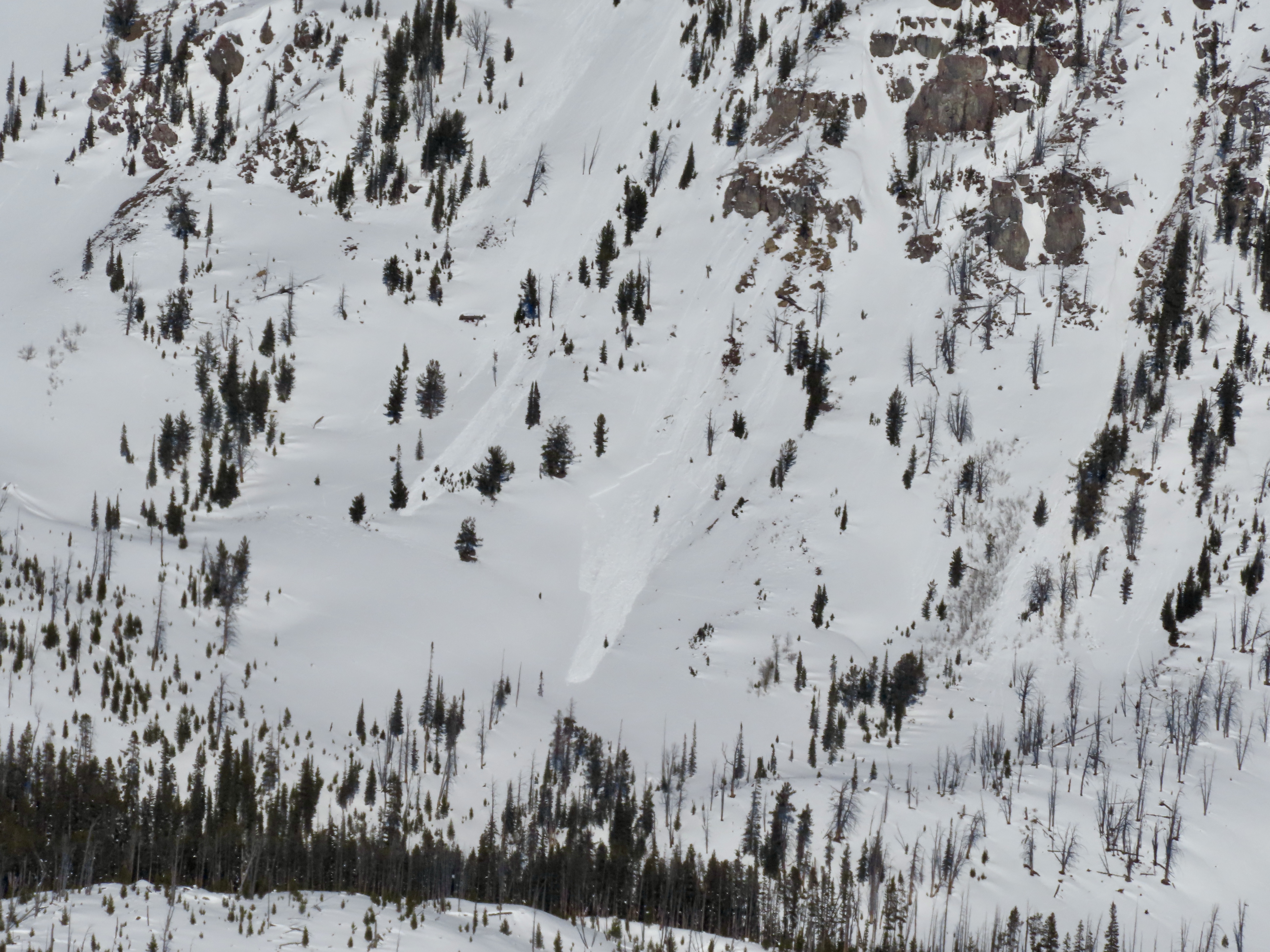
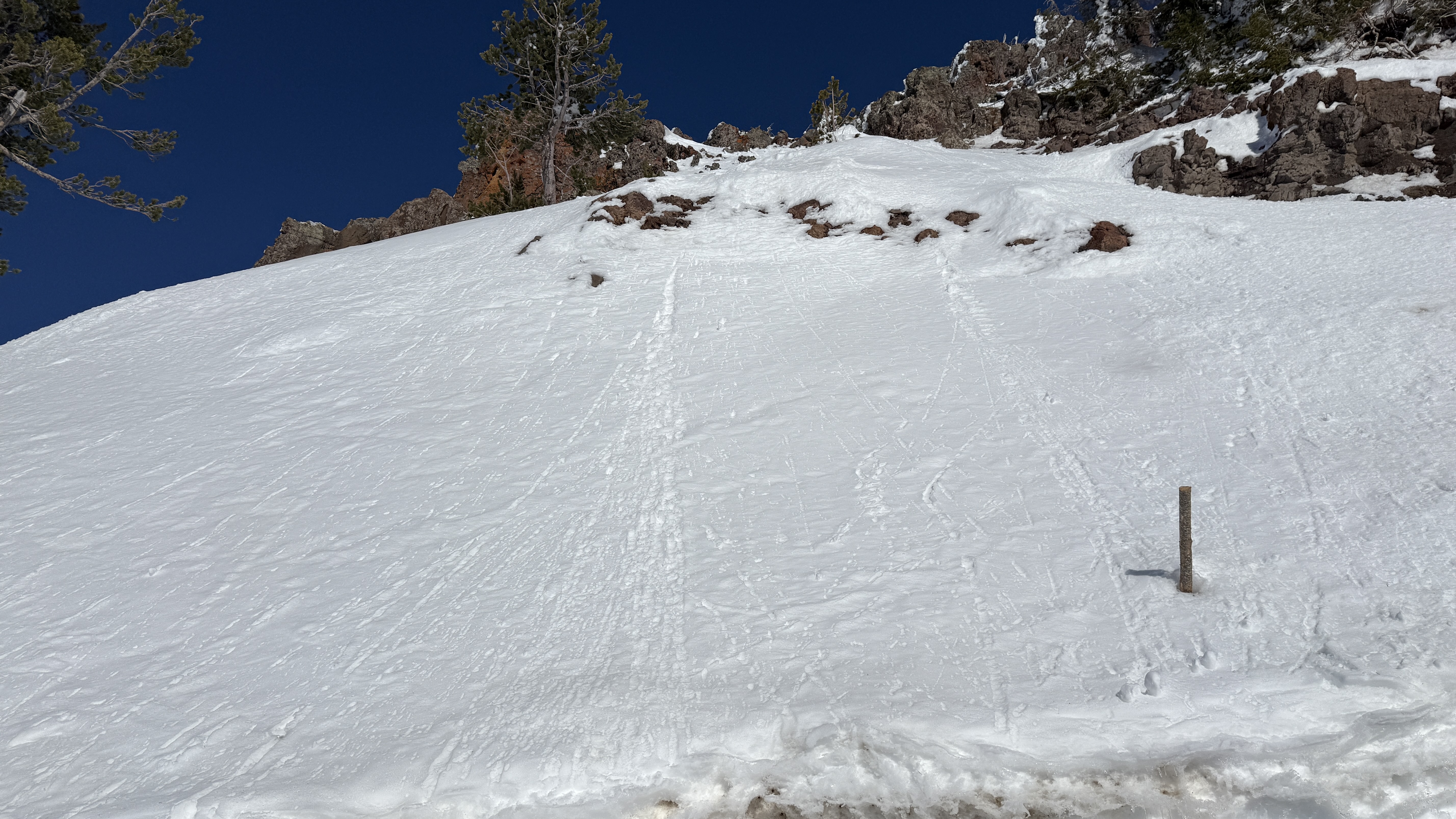
Full Snow Observation ReportObserved a large wet loose (D1) in Zimmer Creek today off SE facing cliffs. Likely happened 1/29. There were also other smaller wet loose avalanches nearby on south facing cliffs
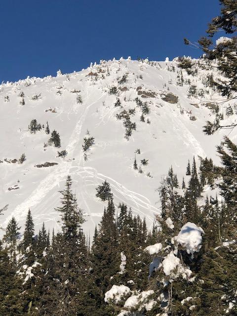
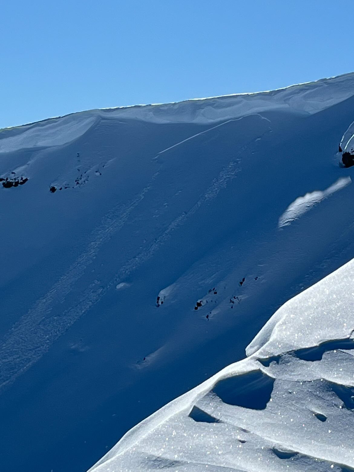
Full Snow Observation ReportWind was rocking in alpine today, fresh windslabs forming and naturally releasing. I could make out 3 on E face, but rough vis with blowing snow. Exposed terrain in alpine had about .5” ice crust from yesterday’s sunshine.
This slab (in pic) released around 11-noon-ish.
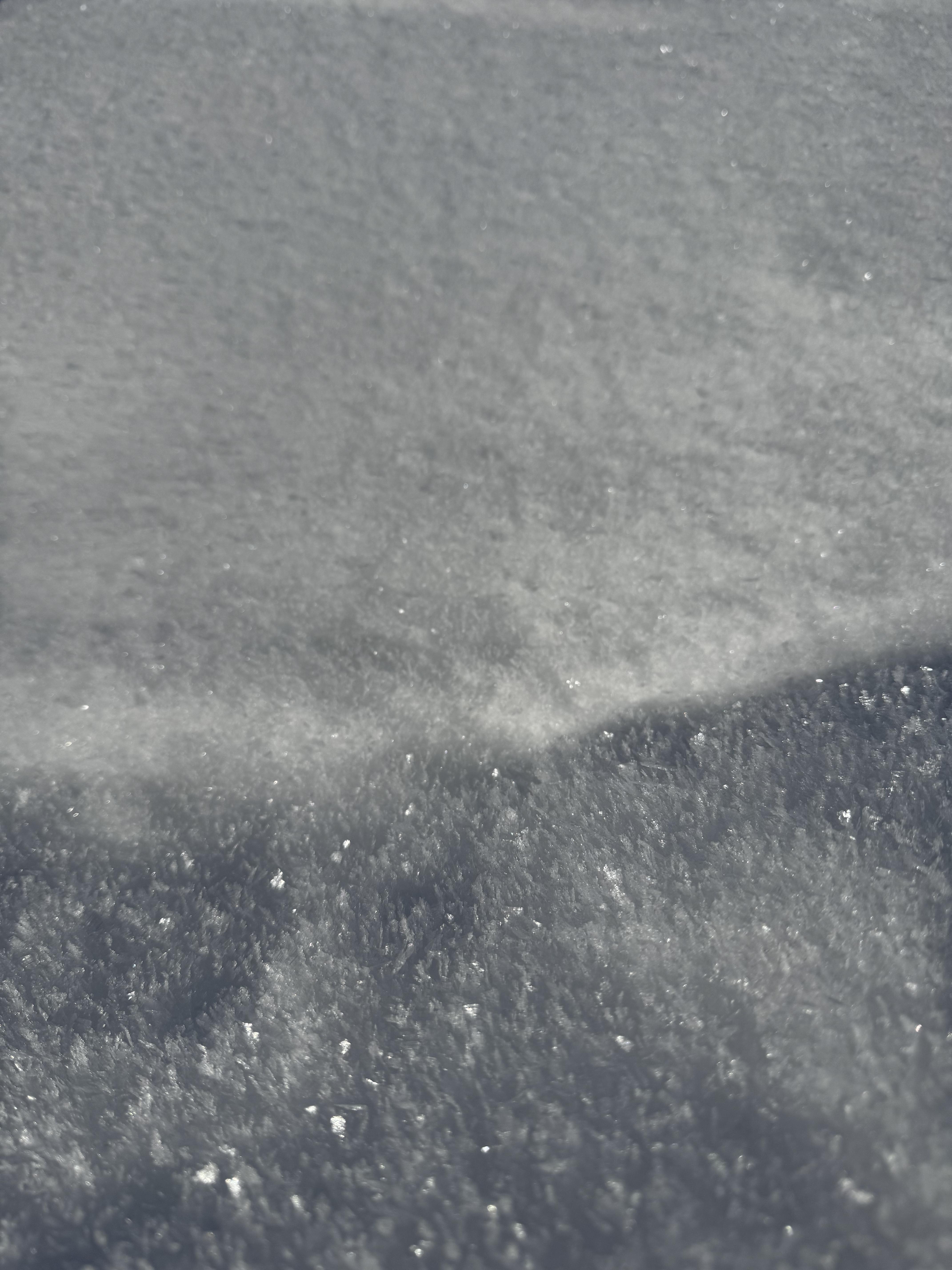
Full Snow Observation ReportToured out of Pine Creek yesterday and up to around 9000ft. We found large surface hoar crystals around the creek and smaller NSF in most covered areas. In steeper, north-facing terrain, we found a fairly uniform snowpack in areas that had been seeing some wind and surprisingly good surface conditions for skiing. We found a few feet of sugar snow near the ridge line with large faceted crystals lower in the snowpack, restricted to mostly sheltered areas. While traveling, we saw no signs of instability except some wet slides from the past few warm days. However, the snowpack around Pine Creek is much thinner than the rest of the forecast area and is showing significantly more signs of faceting, especially in sheltered areas.
Full Snow Observation ReportWent out to ski the S facing coulior on Mt Delano yesterday in the Absarokas and figured we’d report back.
In the valleys we found significant surface hoar. Once in higher elevation, widespread crust on all aspects.
On N facings- some wind blown snow above a 1-3 inch crust. Crust on SE-SW facing aspects varied from breakable to very firm. Facets under crust in some S facing areas as well.
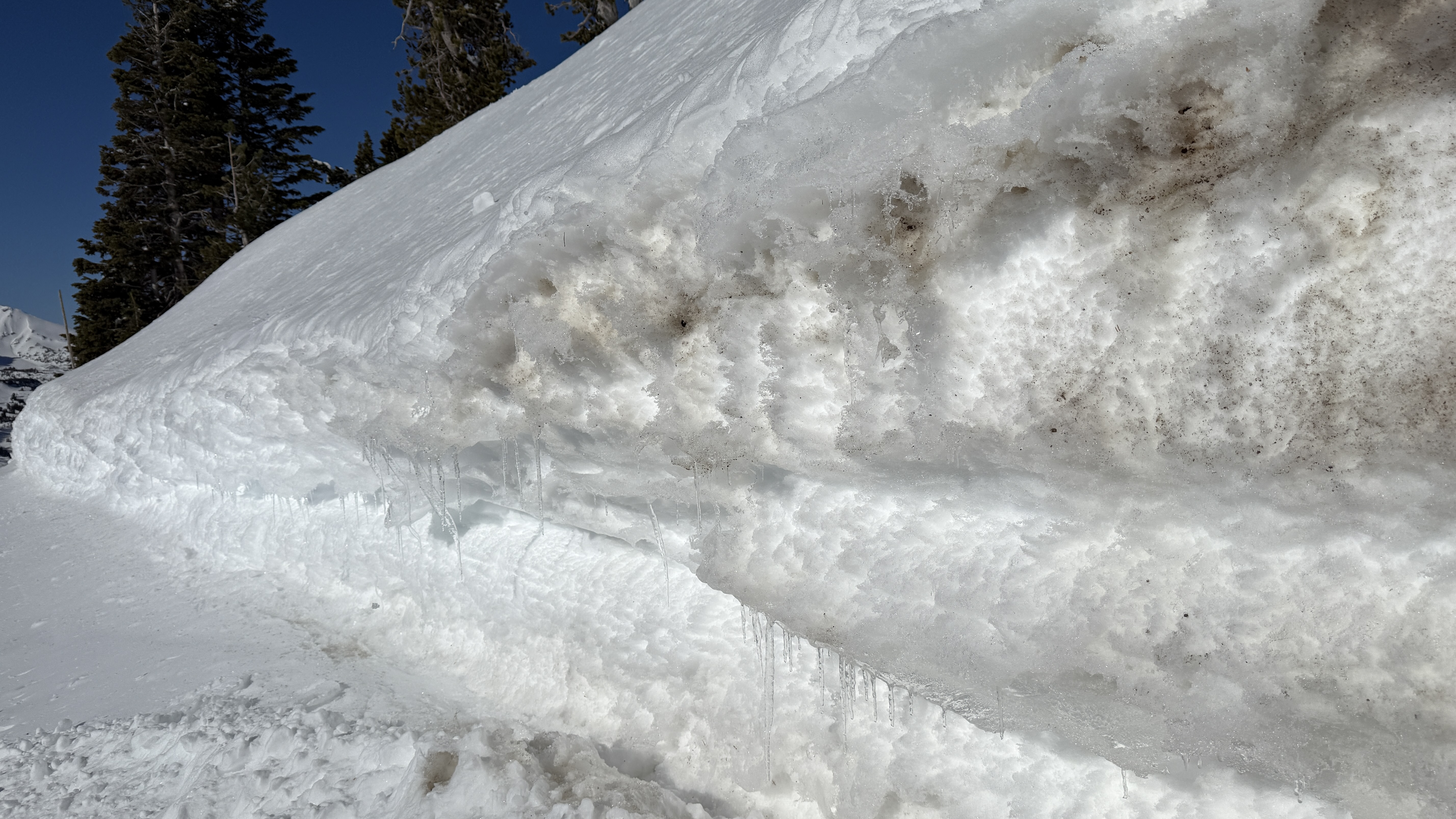
Wet slide debris found on S facing slopes as per picture.
Overall a very shallow snowpack, including at almost 8k. It became a rock and downed tree avoidance mission.
Two Point release avalanches on south slope ofTwo Top
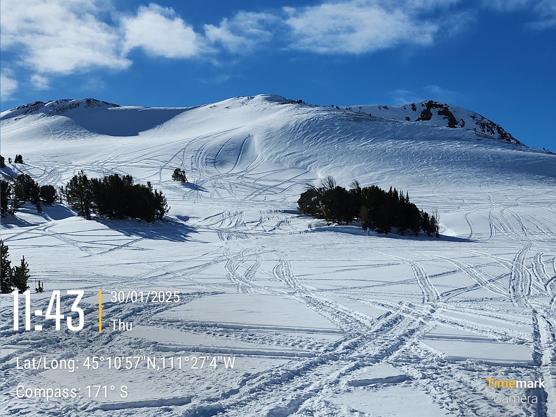
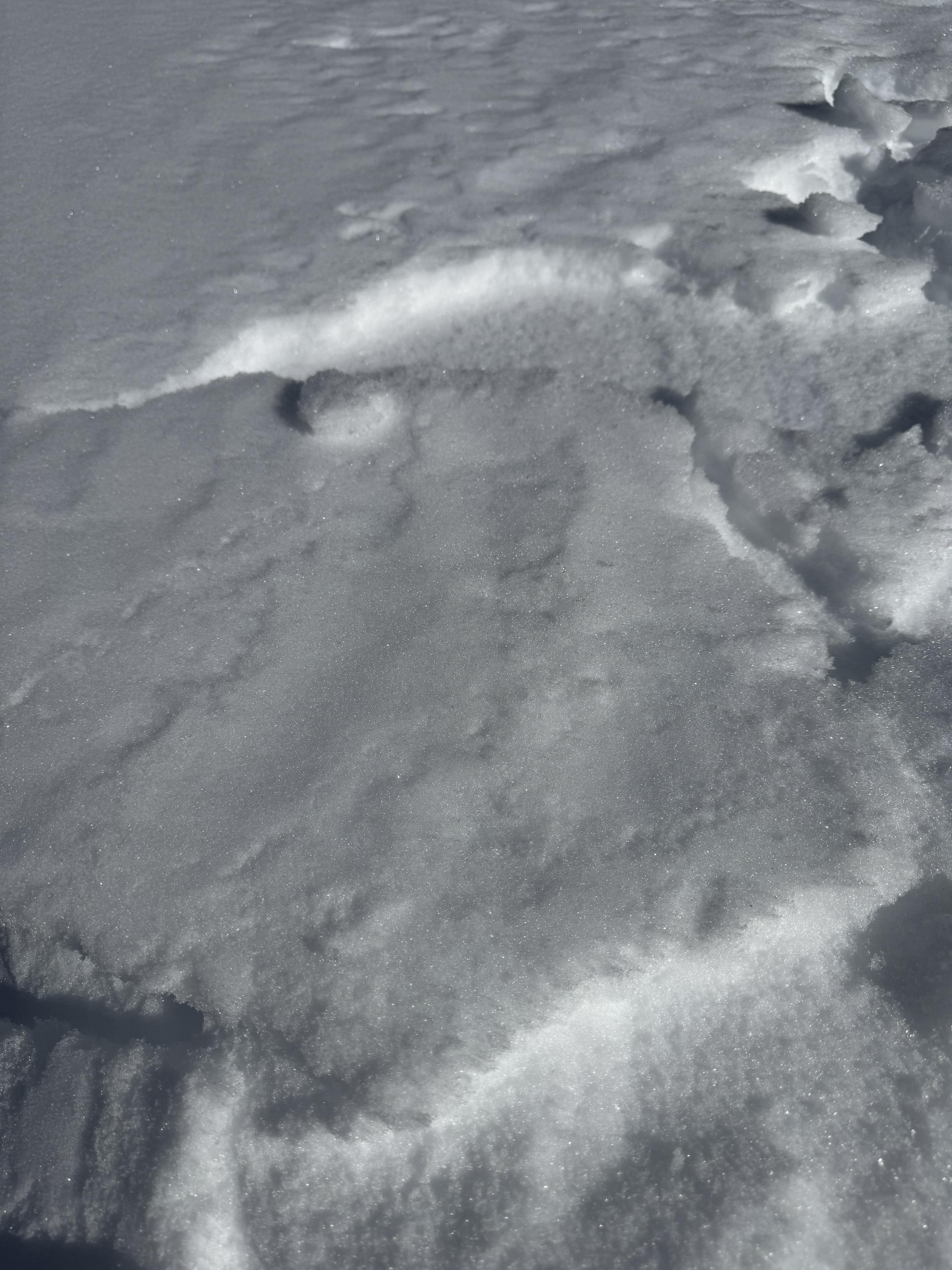
Full Snow Observation ReportSaw this cool illustration of wind deposition, scouring and unaffected snow on a ridge line near the top of Bear Creek at the far end of Buck Ridge. The lighting really helped too. Ridge top is scoured and piled onto the lee slope and there is a very clear line between hard wind slab and relatively unaffected snow where the old snowmobile tracks are.
We also spotted a small, snowmobile triggered avalanche on a steep, east facing slope in Muddy Creek.
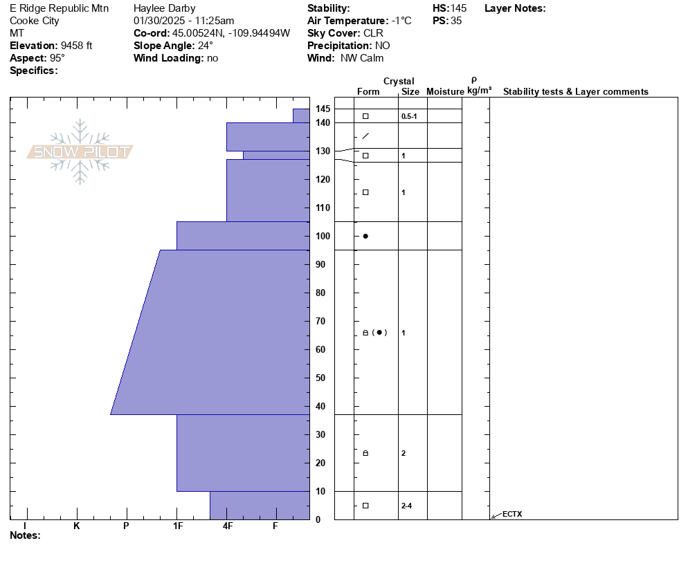
Full Snow Observation ReportToday, we toured south of Cooke City, up Republic Creek and Republic Mountain. We spotted widespread, weakening snow surfaces: surface hoar feathers at lower elevations, faceted snow on cold, shady slopes up high, and faceted snow beneath crusts on solar aspects. Our pit on an E aspect at 9460' did not produce unstable test results, but showed the top 1.5' of snow to have faceted and weakened during this bout of high pressure. These layers are not concerning now, but will certainly be top of mind when the next storm system arrives over the weekend.
We spotted several loose wet avalanches that occurred yesterday in steep, rocky terrain up Sheep Creek. We also noted an old, deep persistent slab avalanche on a NW' aspect near the south end of the Republic Creek drainage. This likely broke around a week ago.
Skies were clear, winds were calm, and temperatures were warm in the sun and chilly everywhere else.
Full Snow Observation ReportFrom email: "Today I drove down Taylor fork road, with the thought of potentially getting up on woodward mtn, until I saw a crown on the NE
Face of its northern summit, basically wall to wall near the top of the slide path. There were a couple other sled tracks that also went to the end of the road, so I figured maybe it was pretty recent, as I didn’t hear about it in the advisory. Concerning because it appears to have propagated maybe 250ft across, while maybe only 1-2 ft deep"
We toured Beehive Basin up to the prayer flags and dropped into Bear Basin. We dug one full pit in the starting zone of Tyler's (1m of snow, ECTP28 on basal facets - rough/non-planar fracture) but were primarily looking at surface conditions.
The surface evolved throughout the day, so we must continue tracking its progression. We found surface hoar in the valley of Beehive, where inverted temperatures were the coldest, crusts with near-surface facets below, and some straight near-surface facet—recycled powder, along with thicker crust and wet snow.
The warmer temperatures at higher elevations that came with the inversion are saving us from worse faceting. When we returned to the vehicle, the surface hoar had burned off in the warming temperatures, and others were moist.
Surface conditions will continue to evolve but probably won't get stronger in the coming days. The good news is that the surface is holding up better than I expected.
Full Snow Observation ReportLow danger is good for now. Nice to see green on the map.
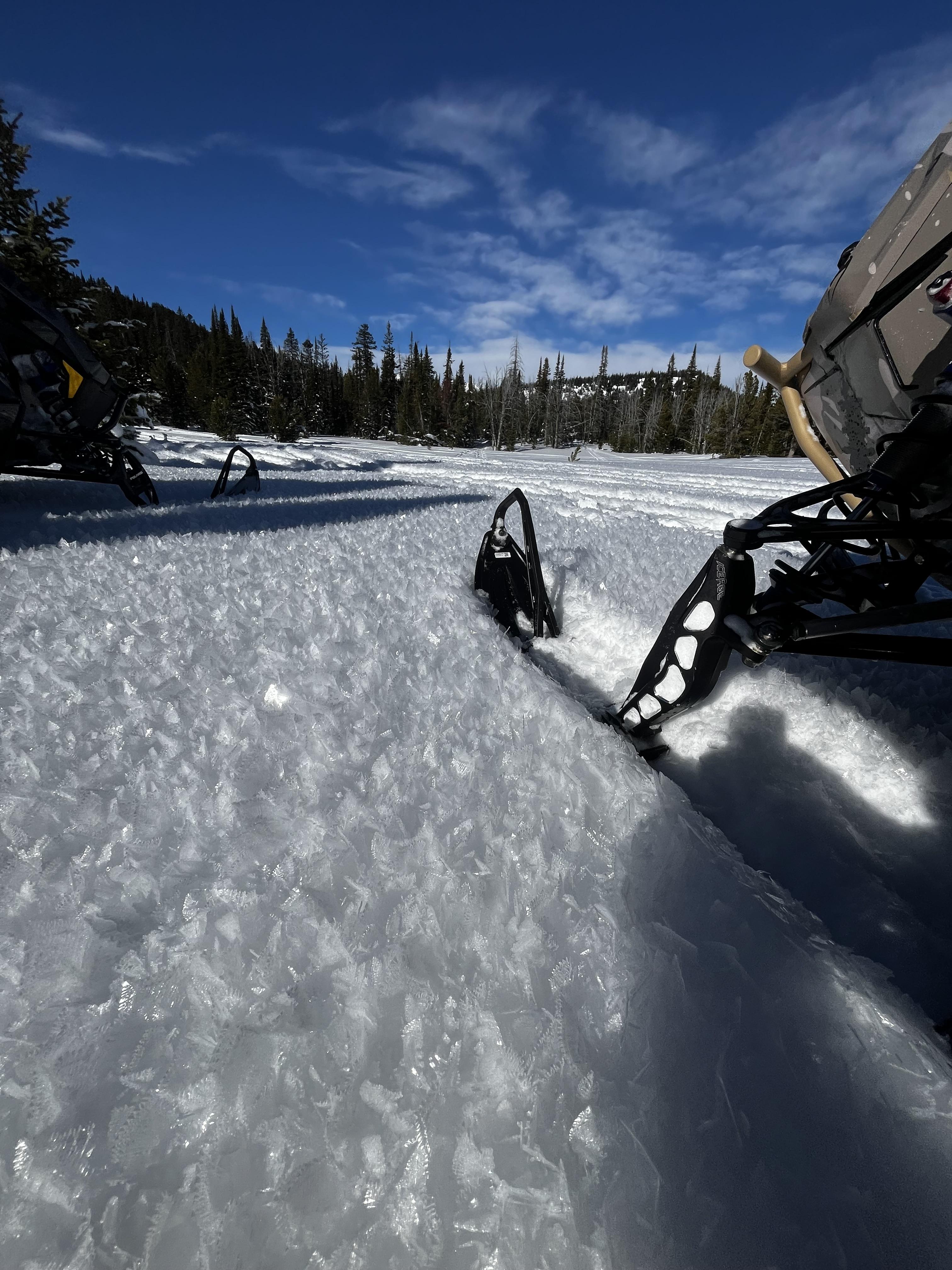
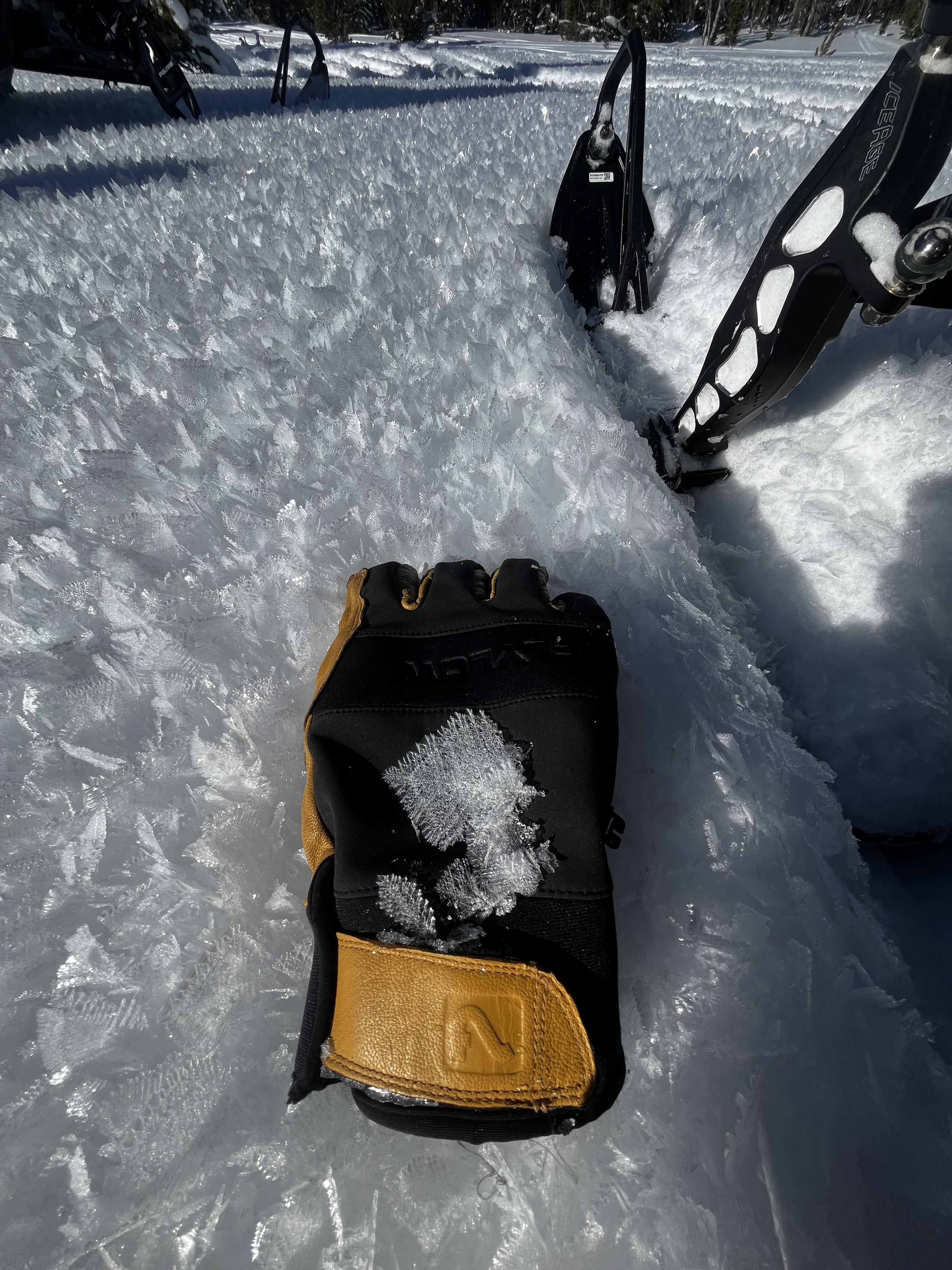
Wide spread layer of Surface Hoar mid and upper elevations Two Top area
Full Snow Observation ReportLarge surface hoar across a variety of elevations and aspects at Lick Creek. It was 2-5mm large and present on almost all flats and non-solar aspects, and from the road up to 8500 ft and above. The most recent snow was wetting out on the solars, and temperatures were well above freezing at my car when I got back to it in the early afternoon.
Full Snow Observation ReportToured up Ellis. Observed well-preserved surface hoar in meadows and on the ridgeline on NE aspects. MF crust starting to form on SE aspects. Dug at 8230’ on an ESE aspect. HS 120. Found the buried surface hoar layer from a few weeks ago down 25cm. Got collapsing but no propagation on this layer. Beautiful day!
Full Snow Observation ReportTook the ridge out to Bridger Peak. Winds have done their damage and skiing conditions were quite bad. Winds had affected snow at nearly all elevations.
Snow depths on SE and NE aspects were 120 cm, and the snowpack is dense, hard, solid, and stable. We couldn't find any evidence of near-surface facets from recent cold weather and clear days/nights. The combination of wind and warmth destroyed them if they existed.
On south aspects, the snow had become wet, and we spotted a few rollerballs/pinwheels - mostly near exposed rocks.
Full Snow Observation ReportDrove up the road to the summit of Sawtell Peak for some weather station maintenance (it's back up and fully operational!).
Had good views into the Centennial Mountains from the summit (Mt Jeffferson, Reas Peak, head of Yale Creek) and saw no signs of avalanche activity.
The top inch of the snowpack was moist on south facing slopes at 9800 ft around noon and there was water running out of the cutbank onto the road. A few roller balls were visible, but didn't see any other wet loose activity.
Full Snow Observation ReportLots of tracks everywhere - climbing onto all sorts of slopes.
Recent avalanches noted on the NE-E aprons on cedar mountain. SS-N-R2-3-D2-I These appeared to have possibly happened during the last storm cycle and looked to be isolated to layers within the new old snow interface. I also noted similar activity on the same aspects on the adjacent ridge during our approach.
Full Snow Observation ReportPretty widespread surface hoar this morning near Hyalite Reservoir. It didn't seem to be as widespread higher up on Mt Blackmore, but we did see some pockets of it up there.
Full Snow Observation ReportFrom IG Message: Wind slab avalanche on “east facing slope in hyalite”
Full Snow Observation ReportWidespread SH had formed over the past couple of days in areas on the approach that were out in the open but shaded from the wind. We observed cornices in the back of the basin (NE/E facing) and a small wind slab had broken off underneath them. Wind-blown snow had filled in the skin track and ski lines from yesterday in maiden bowl. The sun was baking the southern facing slopes for most of the day today, and when we skied out, the snow in the direct sunlight was wet.
Full Snow Observation Report
