Snow Observations List
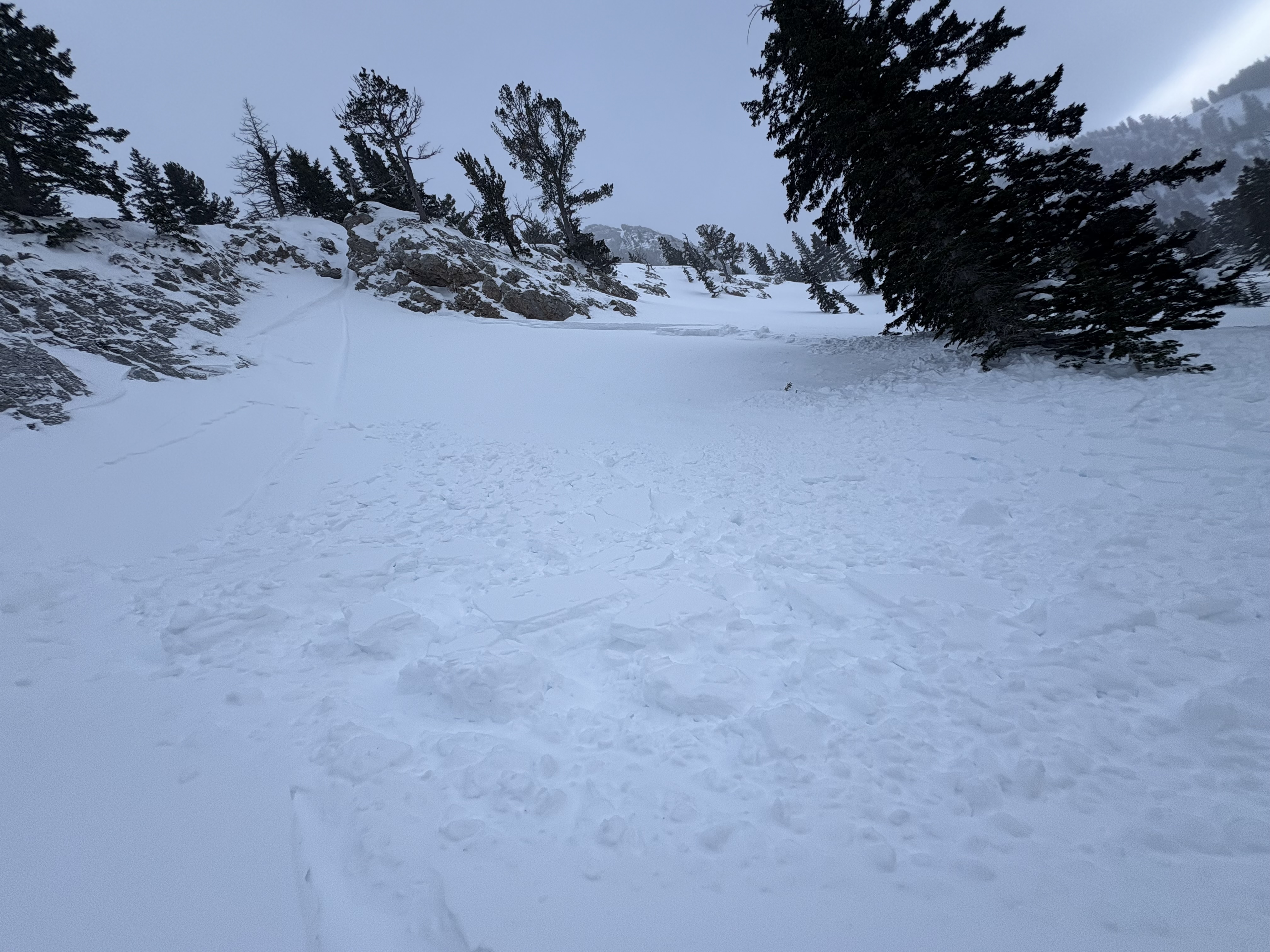
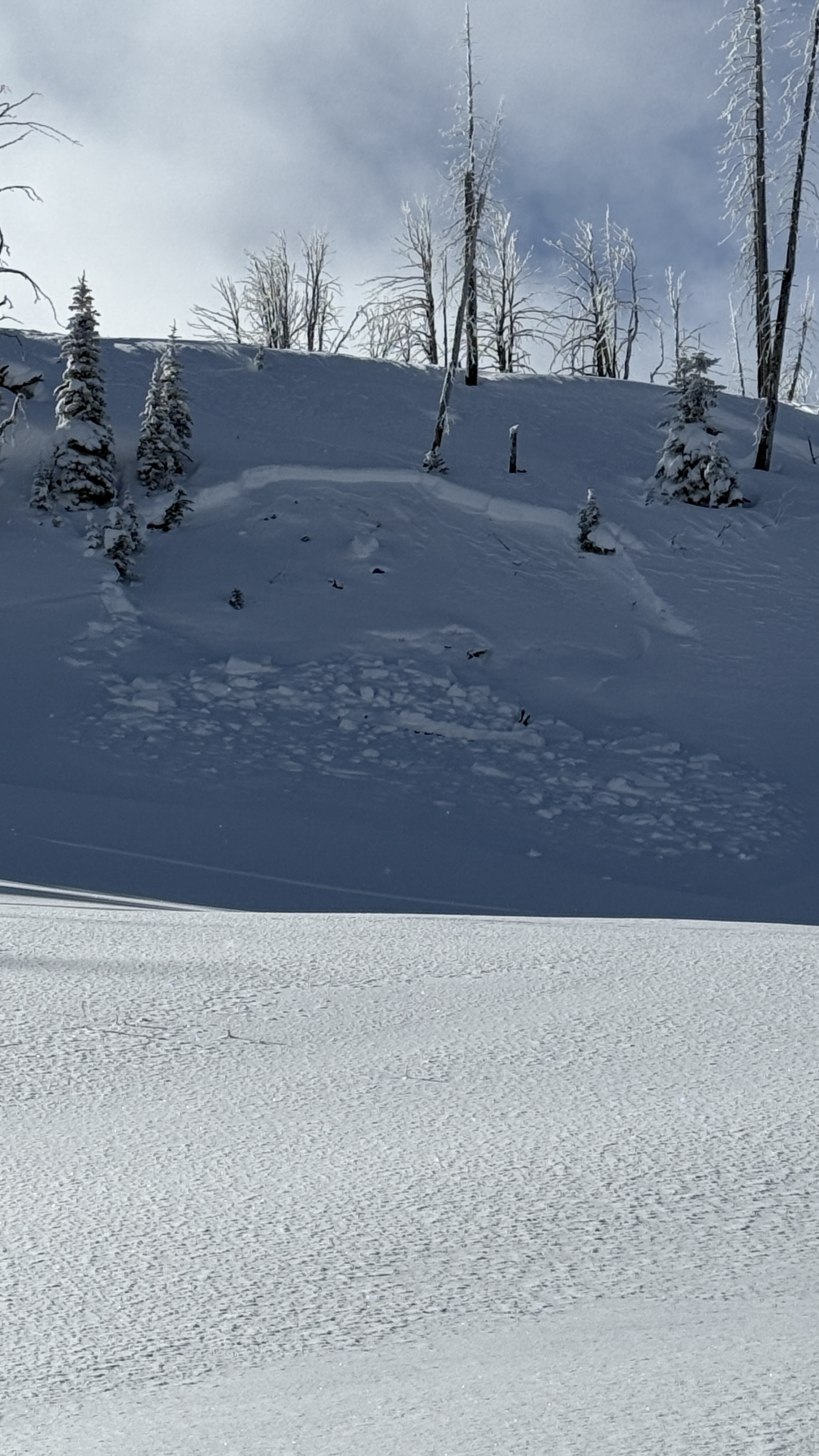
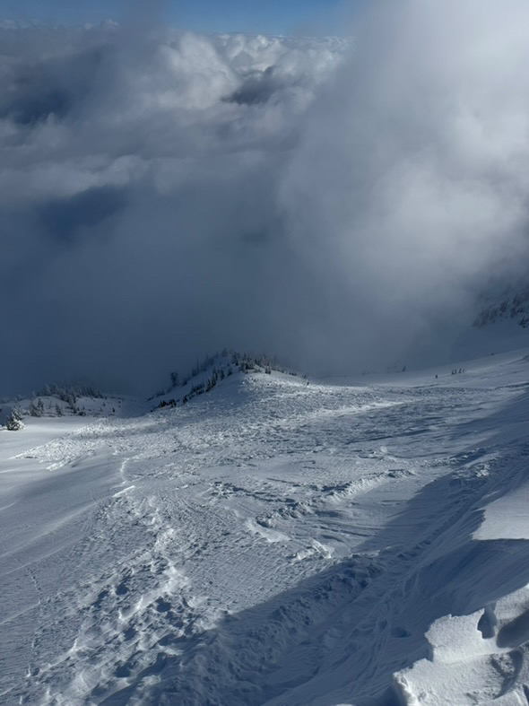
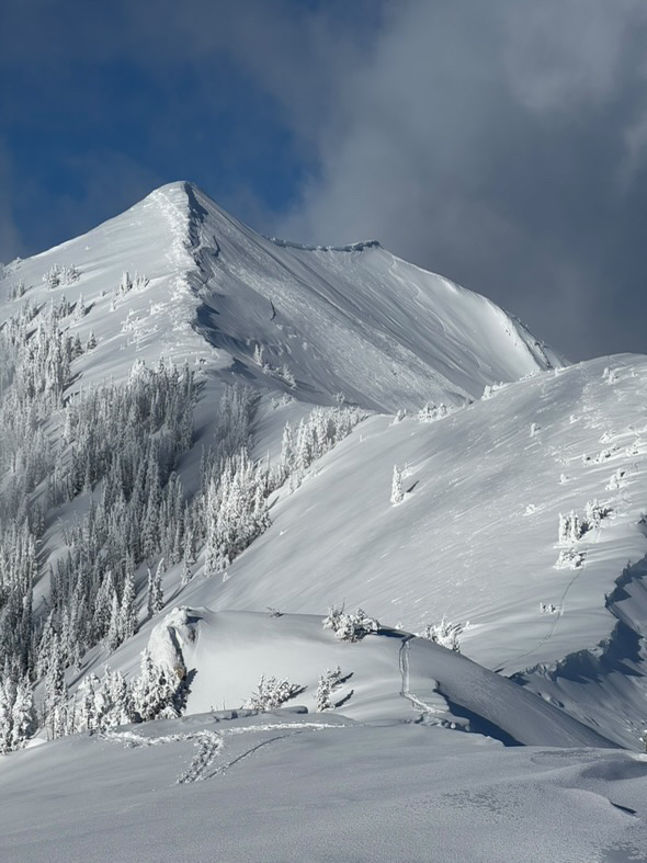
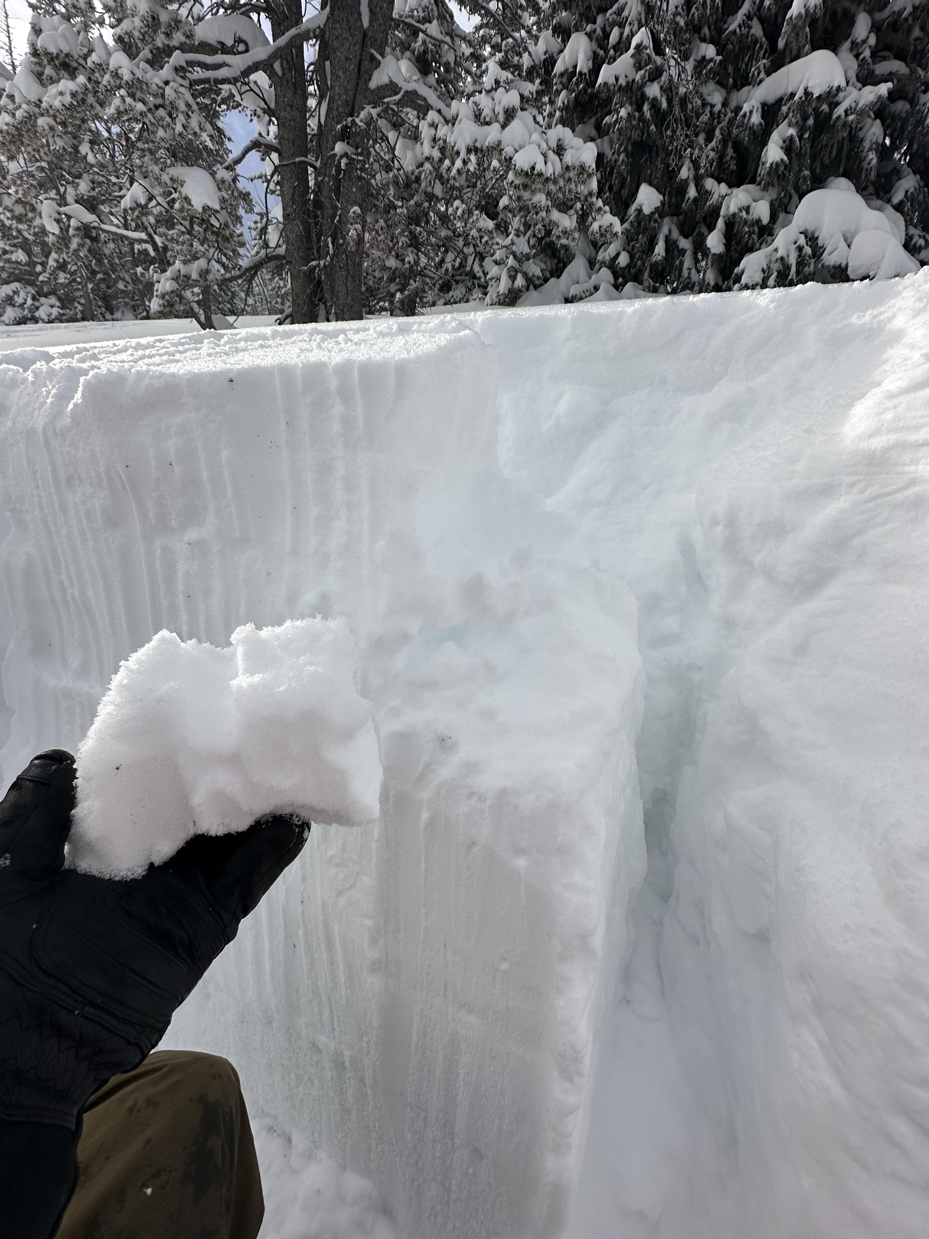
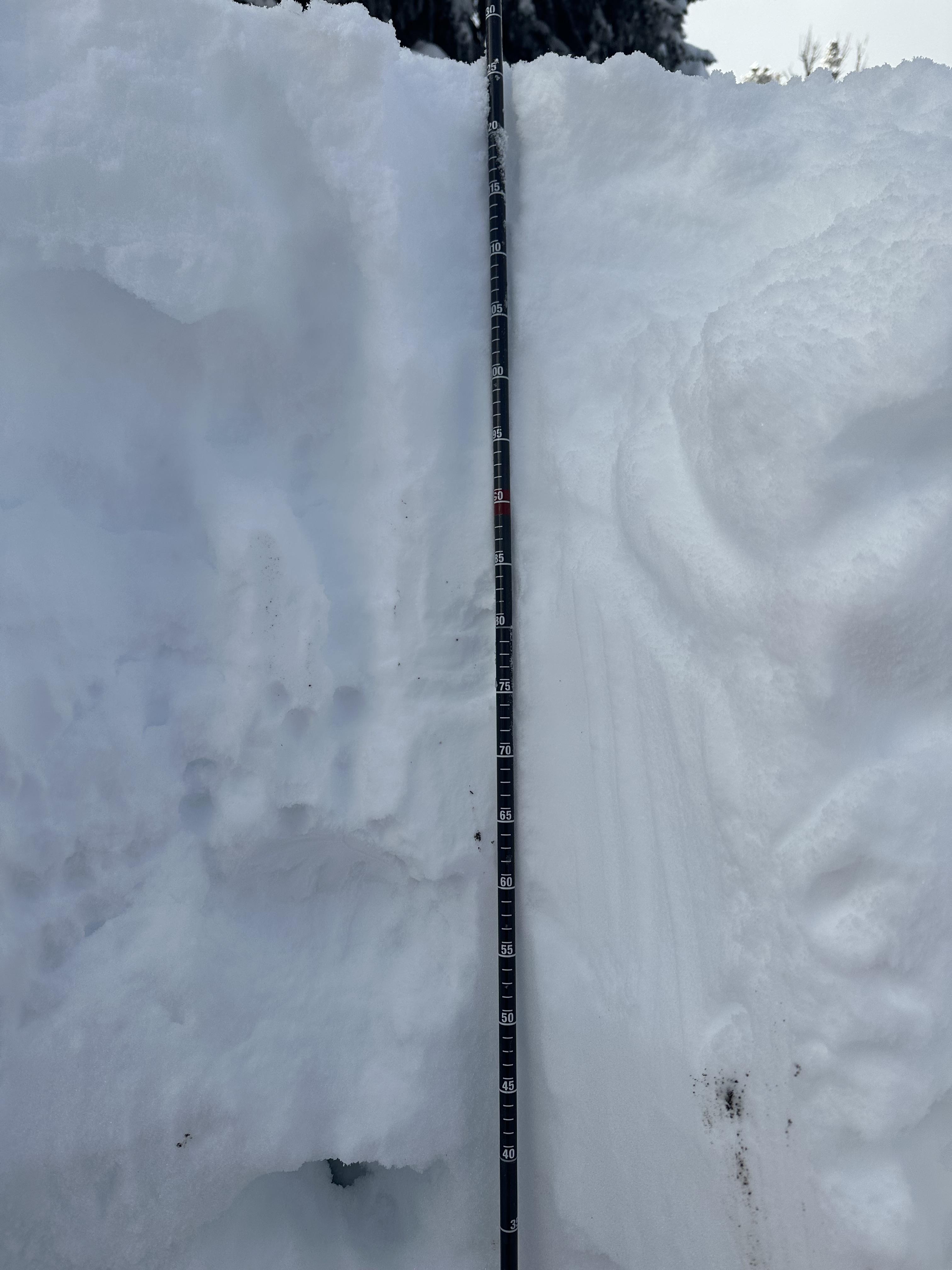
The wind yesterday did a number on the snowpack. All aspects and elevations were affected. The most noticeable problem was the large drifts that formed across the landscape. They were not touchy, but if one popped off, it would carry a lot of volume. The secondary problem caught me by surprise. We stopped and dug on a NE facing slope around 7,800 ft. - north of Texas Meadow. HS was roughly 150 cm's. The wind slab on the upper portion of the snowpack did not produce unstable test results but got 2 ECTP's on the basal facets.
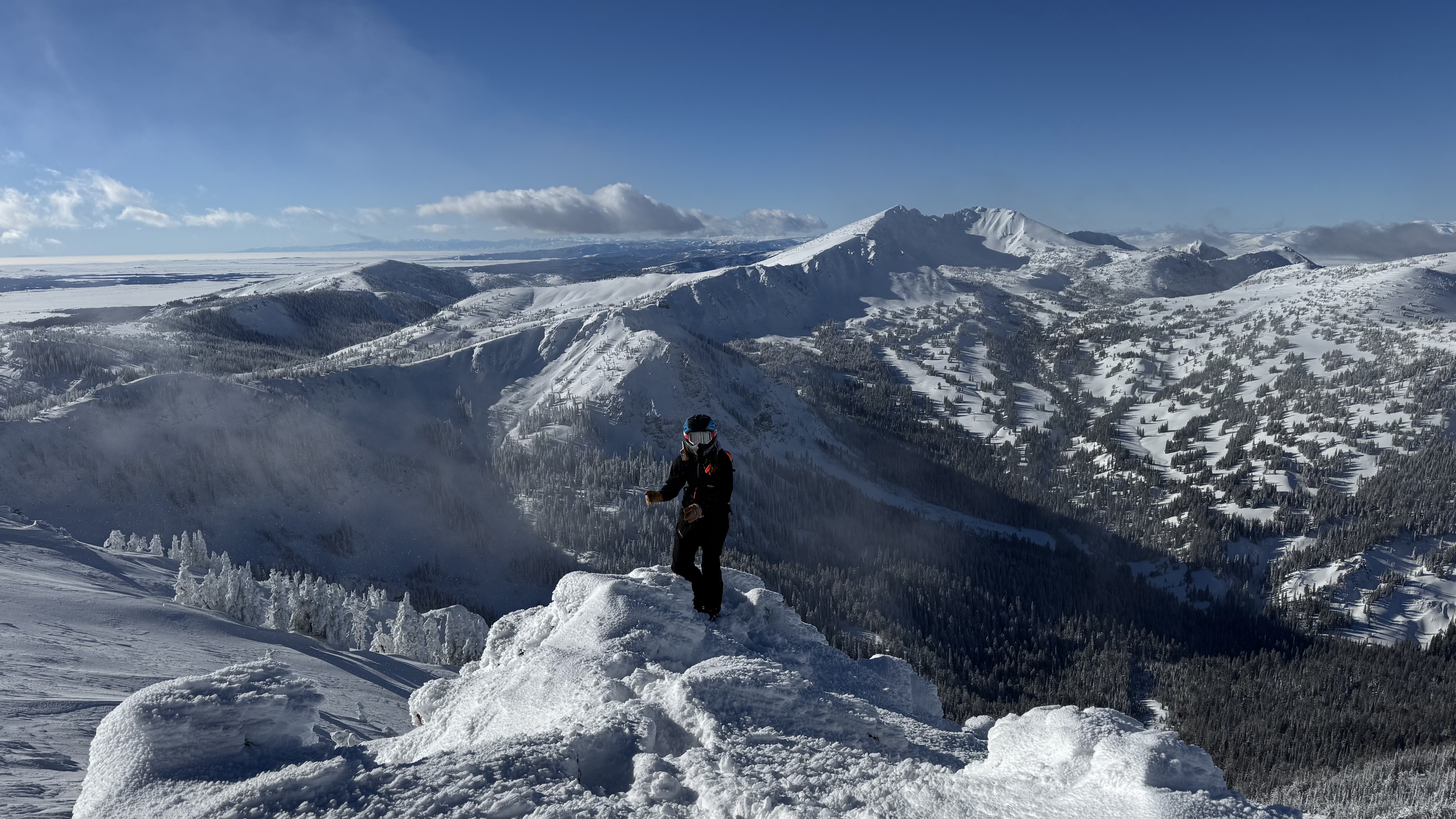
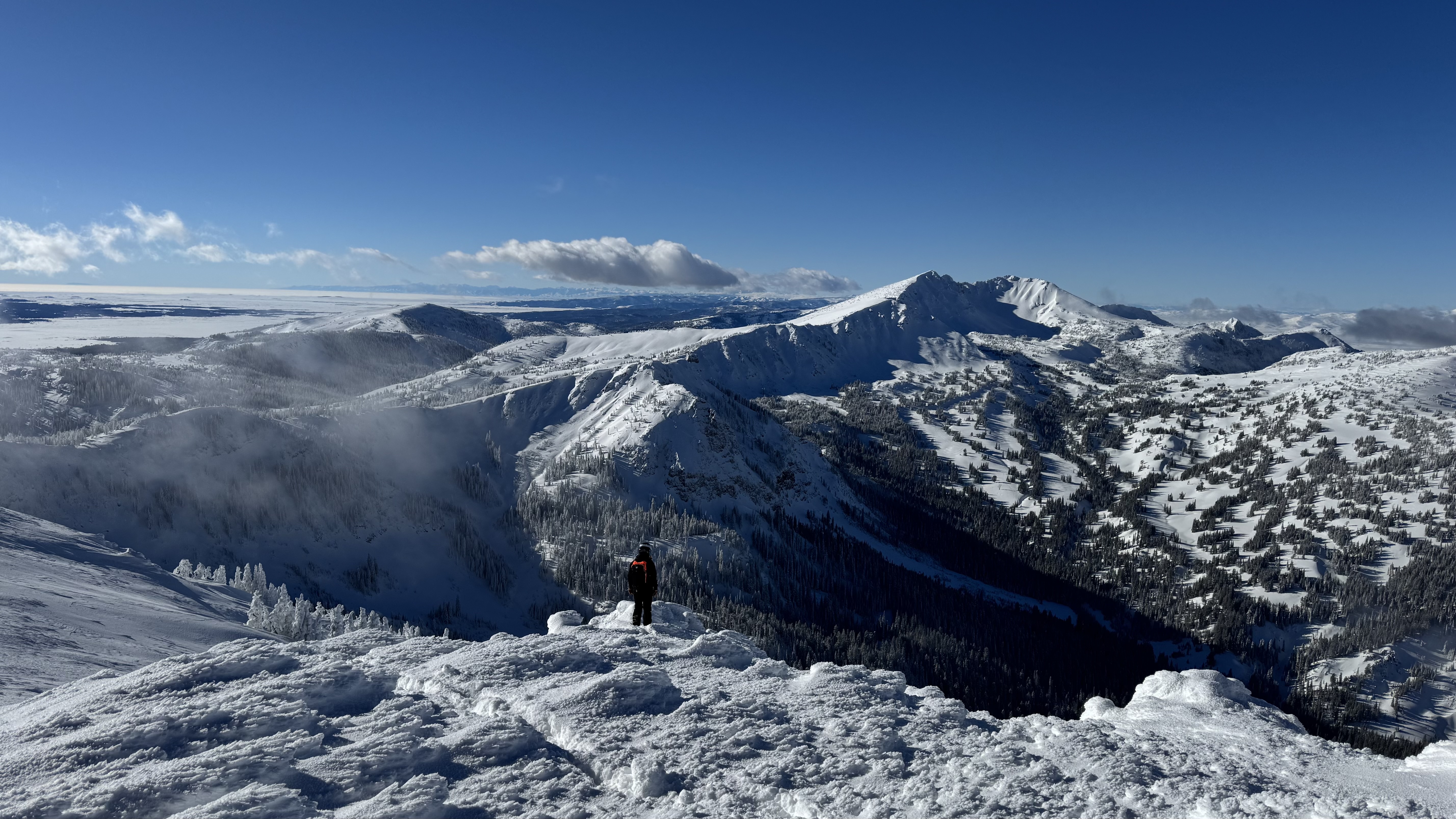
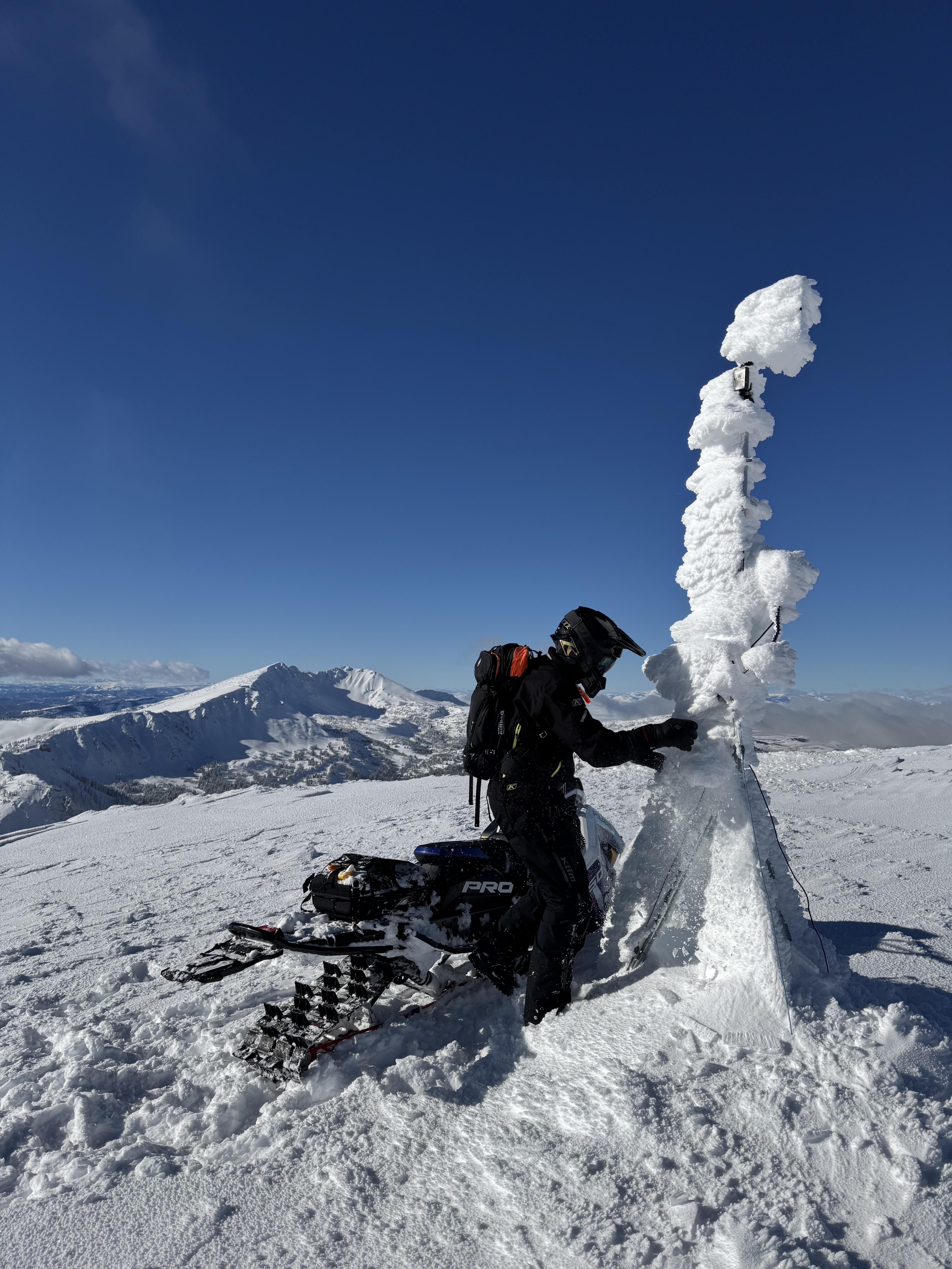
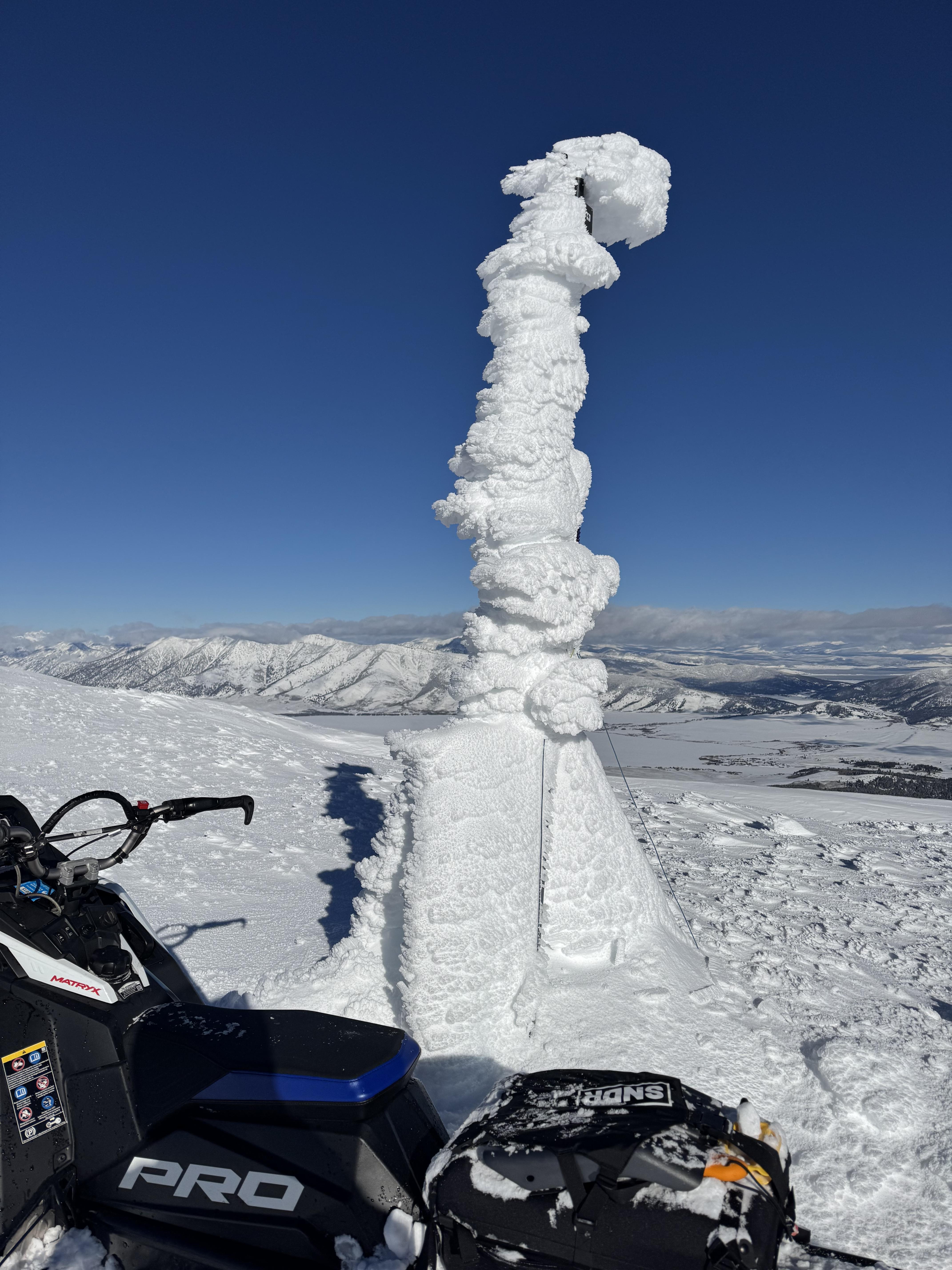
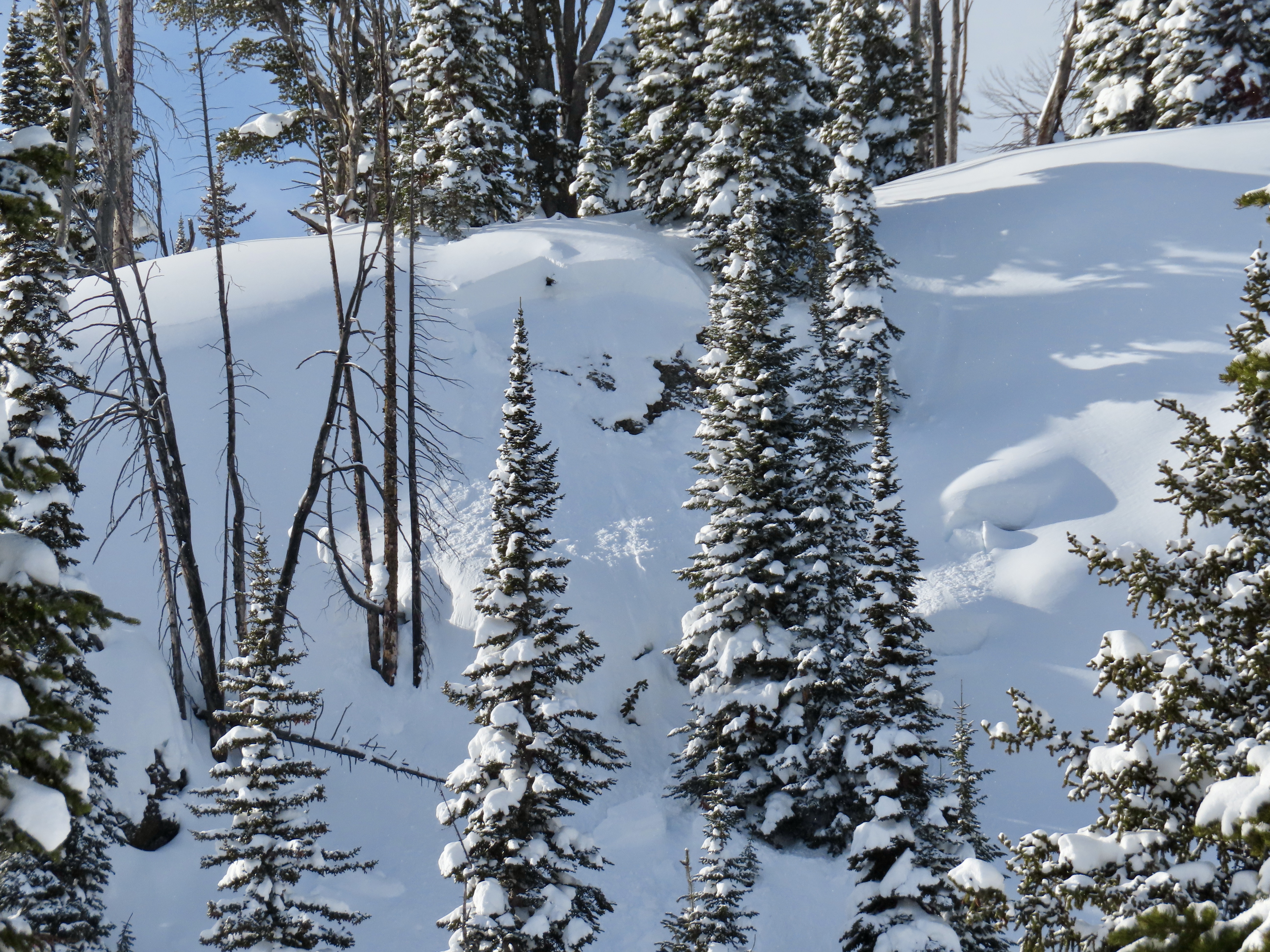
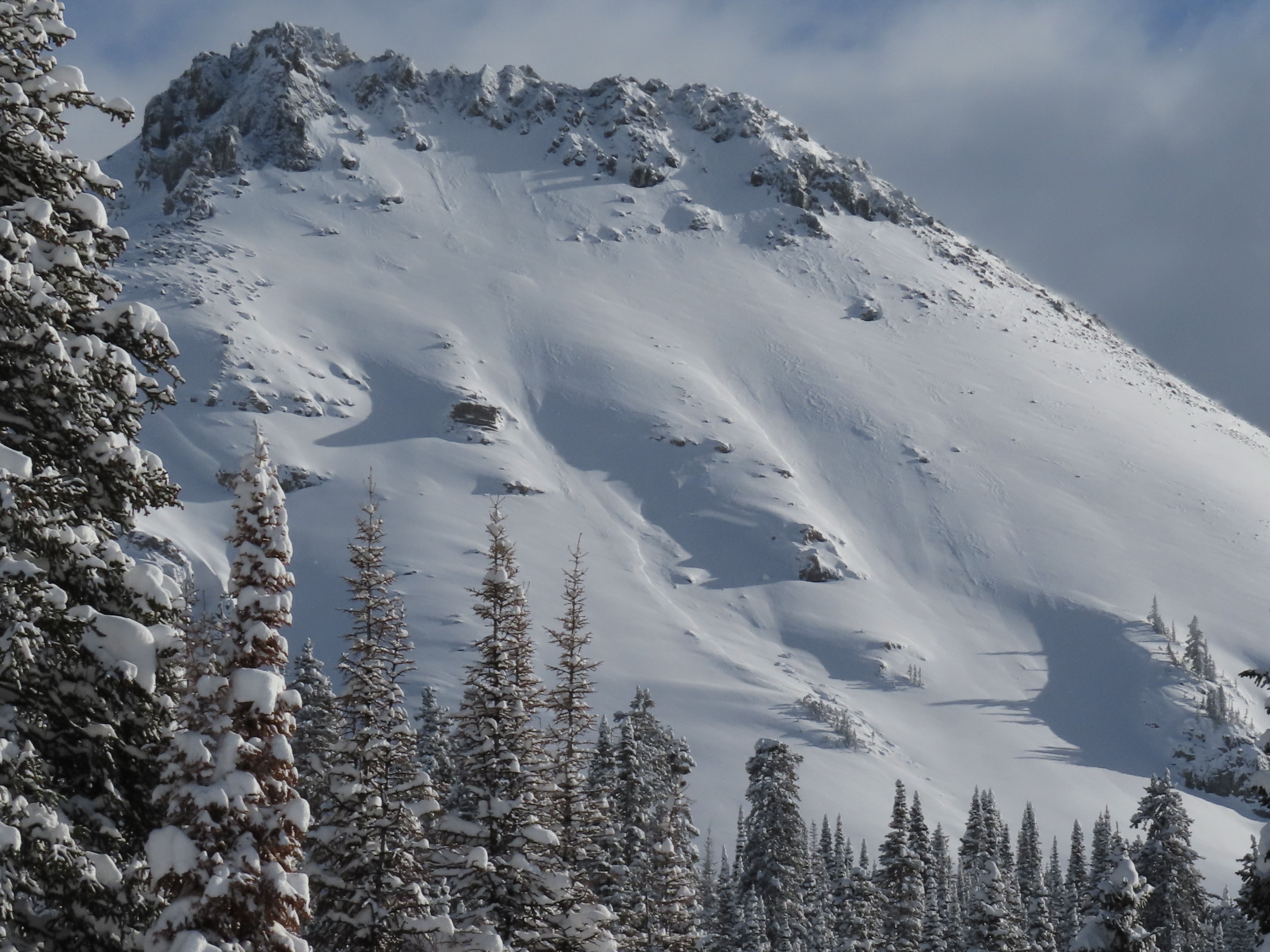
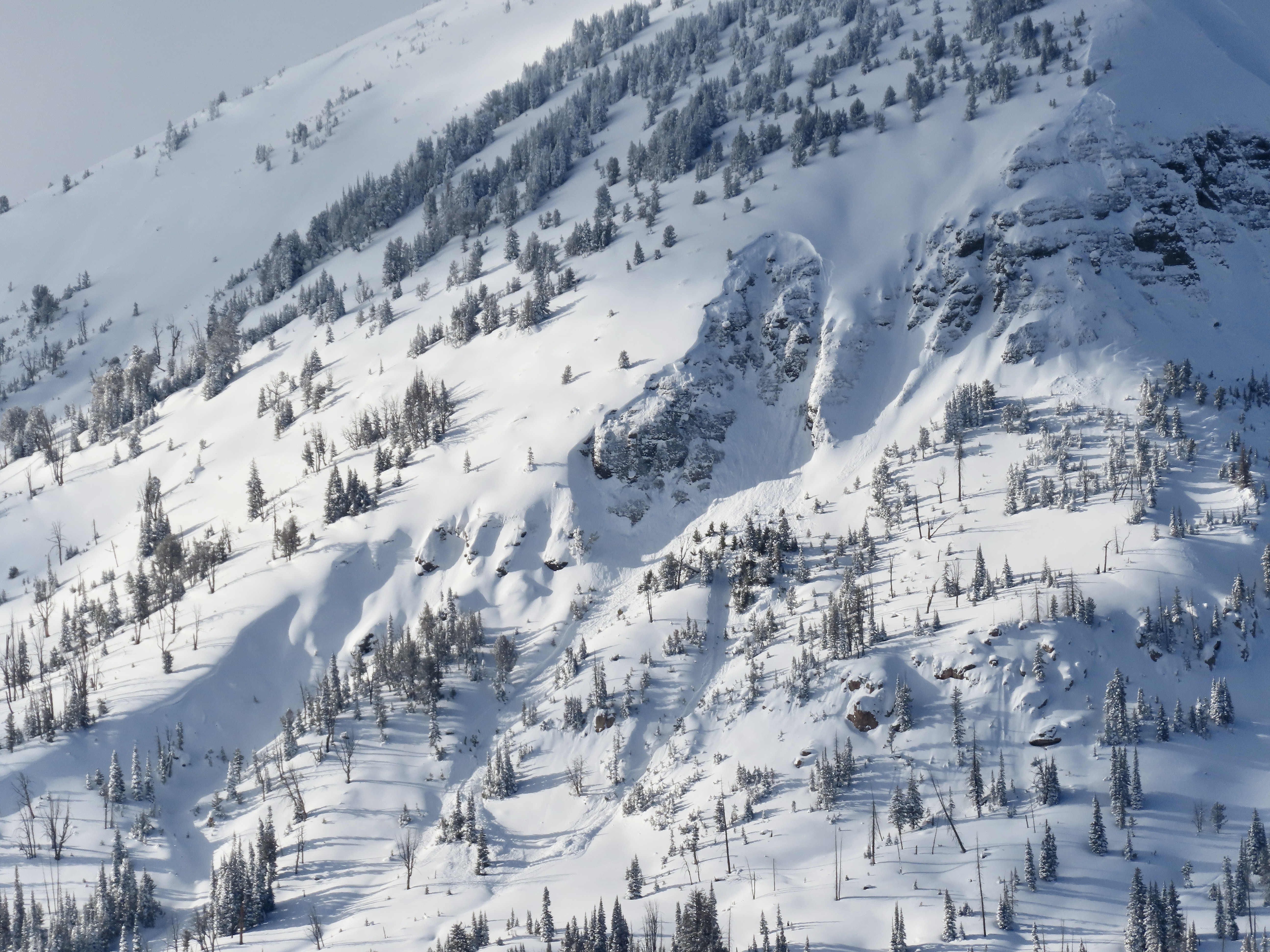
Full Snow Observation ReportWe spent the last two days in the Centennials. On Wednesday, we rode up to the vehicle shop, into Yale drainage, over to Hellroaring, and across the backside to the East Hotel Creek overlook. On Thursday, we went to our weather stations for repairs and visualized much of the range from the top of Sawtelle.
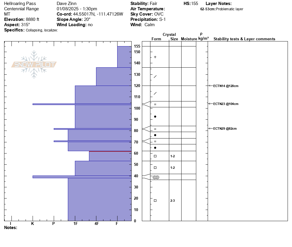
Day one focused on snowpack analysis as it was lightly snowing for most of the day S- -1 with 2-3" of accumulation throughout the day, and we did not have much for long-distance visibility. We triggered two collapses in a creek bed when someone (I) was stuck while riding toward East Hotel. We were able to see the smaller avalanche paths along Yale and the only slide was a R1, D1 cornice collapse. We dug on a north-facing slope at the pass over to Hellroaring Creek. The facet layer of concern is now buried a meter deep (4F+ hardness) with an ECTX on this layer. Total HS of 155 cm. We got ECTNs 14-29 on the three rain crust layers formed during the last storm cycle.
The south-facing pit overlooking East Hotel was a bit shallower, 125 cm HS. ECTP30 on a crust facet combo mid-snowpack and an extra-curricular ECTP31 on the facets that we have been primarily discussing this season.
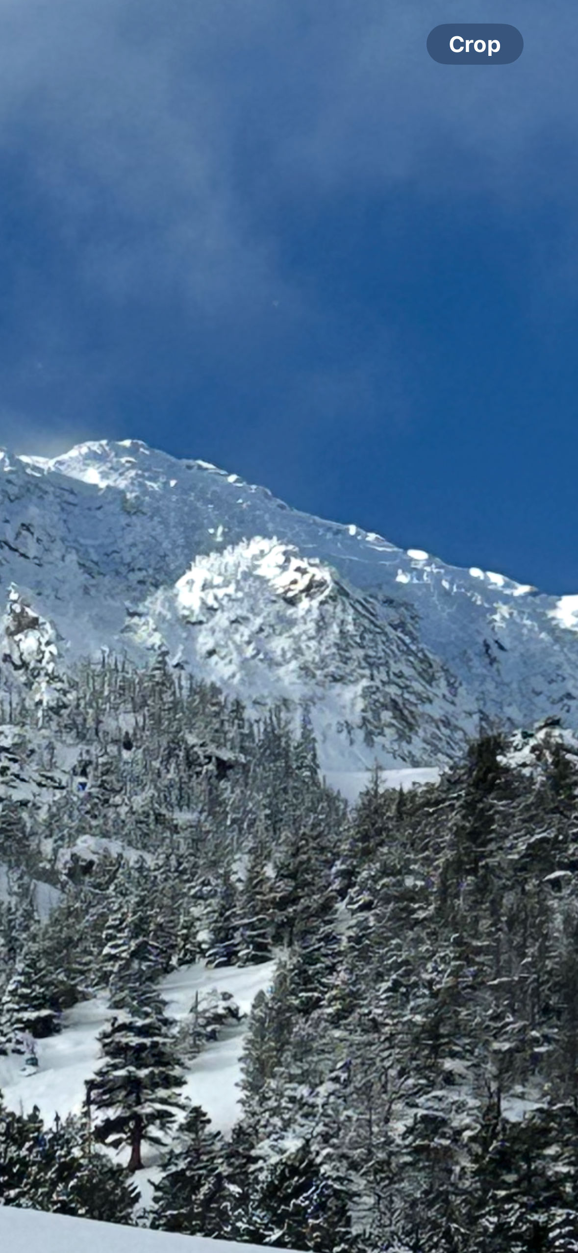
On day two, we got up high, overlooked many avalanche paths, and saw only the slide that Randy Gravett (Rescue Randy) had previously reported in Mt. Jefferson Bowl.
The collapse and the snowpack structure indicate the potential of triggering an avalanche, but the likelihood has gone down. Given the depth of the weak layers, I am not confident that the snowpack assessment will provide full and accurate information. If folks are starting to push into avalanche terrain, my emphasis is to stick to paths that are less likely to avalanche (sheltered from the wind and less steep) and paths that have lower consequences (smaller slopes with clean runouts). As always, safe travel practices.
If people don't want to mess with the uncertainty of avalanche terrain right now, conditions are fantastic on many slopes less than 30 degrees.
Full Snow Observation ReportWith two days of riding, I am feeling good about the MODERATE danger with the above messaging about terrain.
Ian and I rode north of Cooke City, had good visibility, and saw terrain from Daisy Pass to Mt. Abundance back to Lulu Pass, around the south side of Scotch Bonnet, then back around the north side of Sheep Mtn. to Round Lake.
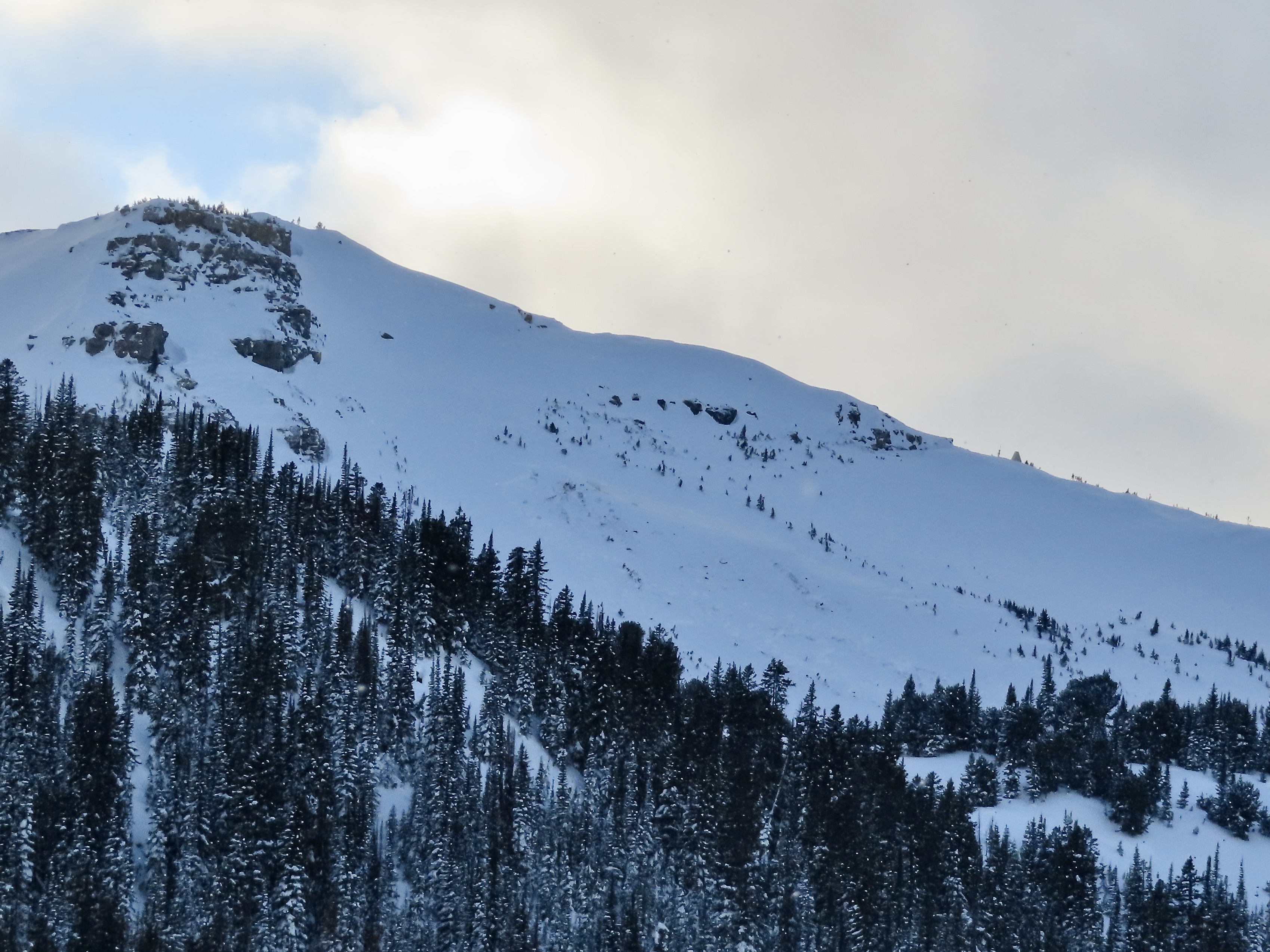
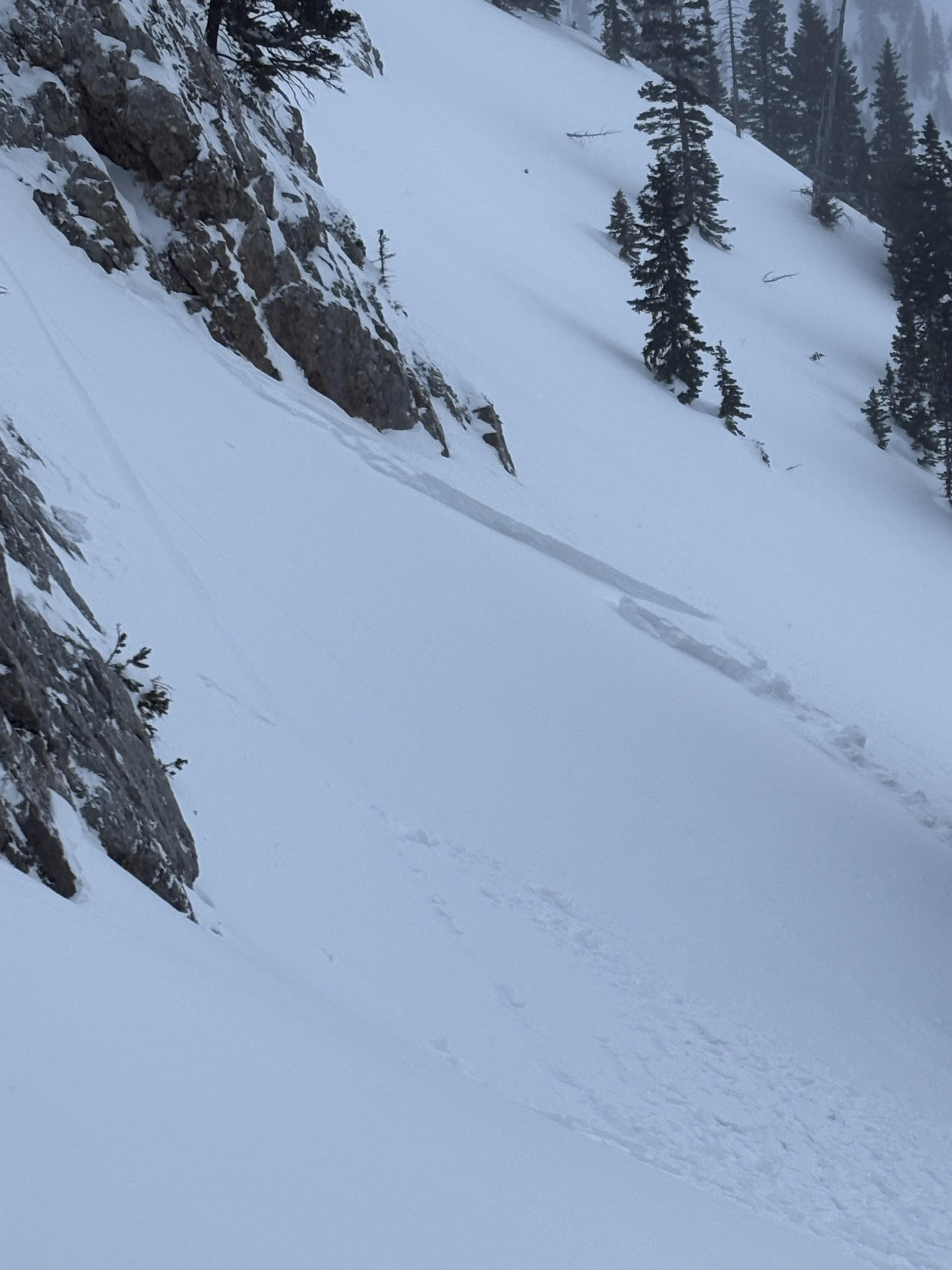
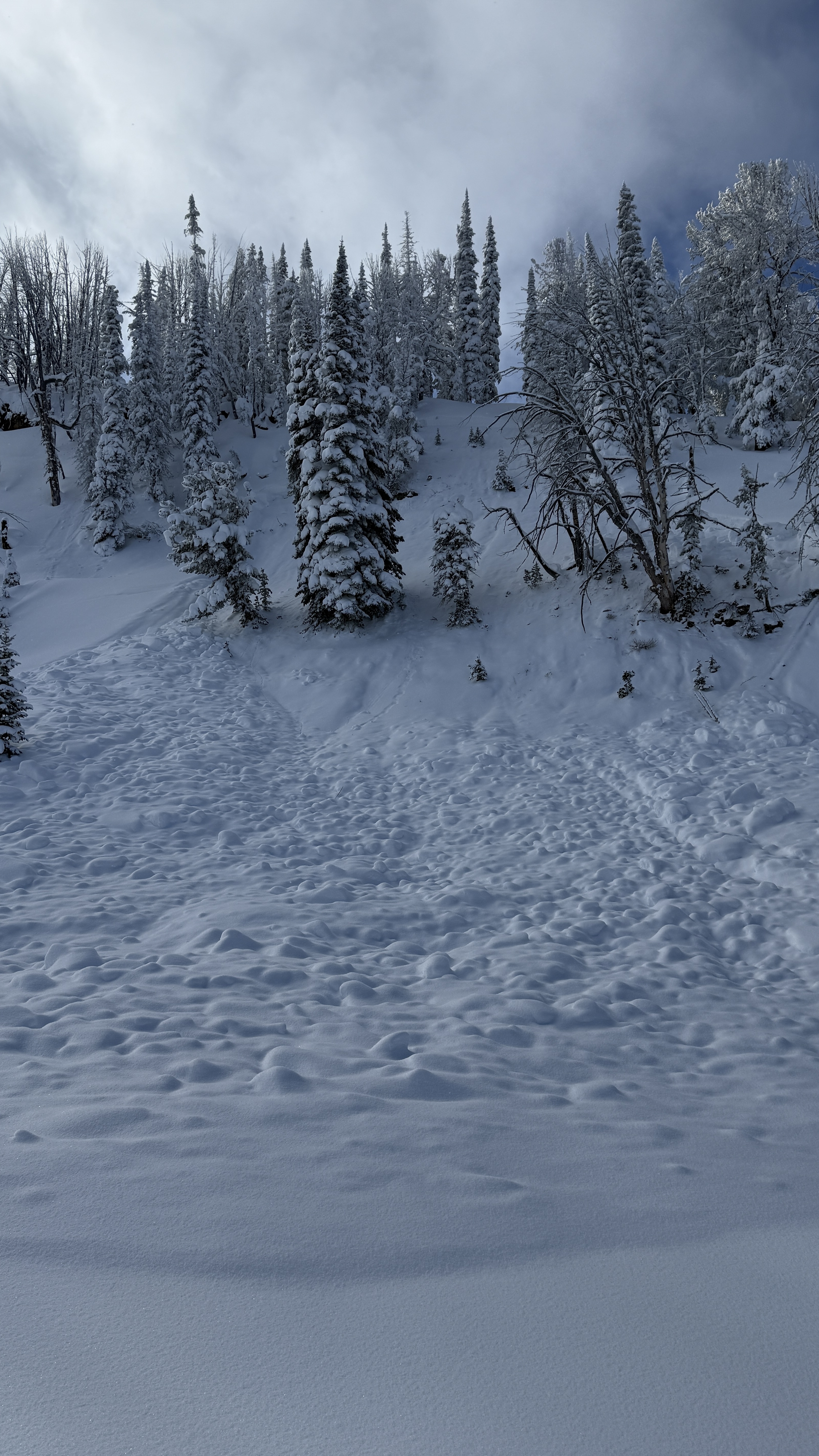
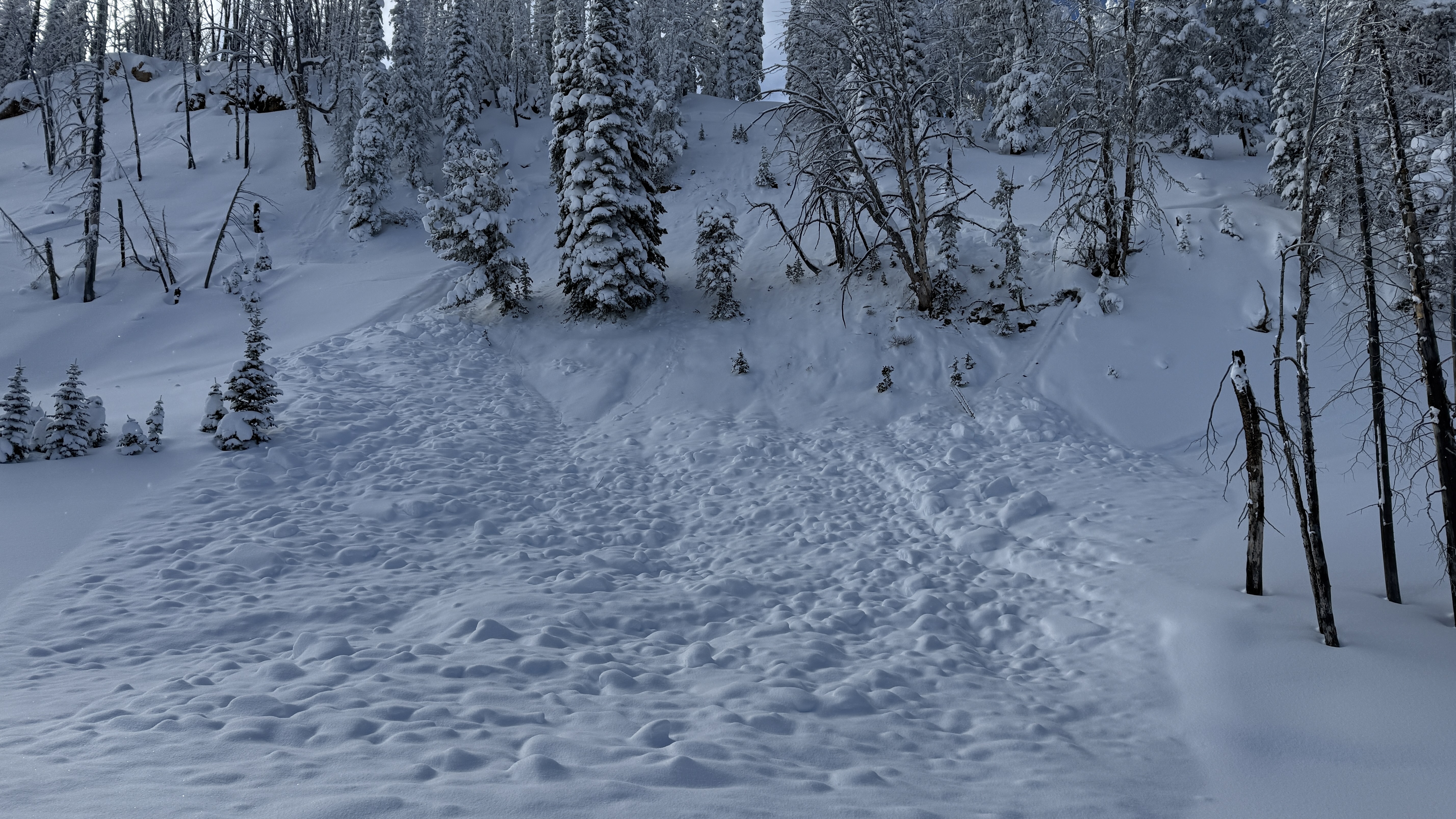
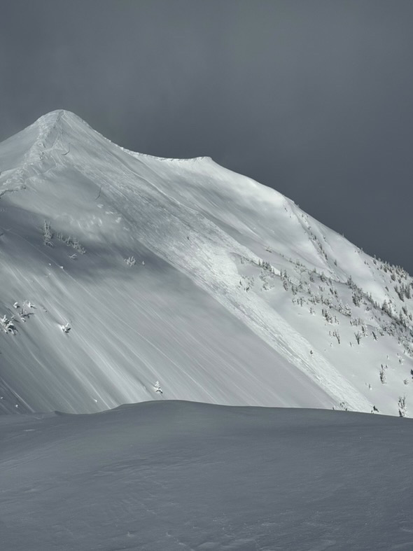
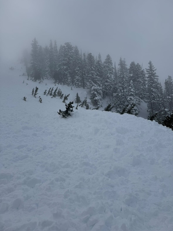
We saw many avalanches of various types and ages. Some occurred today and within the last 24 hours and some were up to a week old. Avalanche types ranged from 3-6' deep and broke on weak layers near the bottom of the snowpack to shallow soft, fresh wind slabs, and we saw one 3-4' deep slide that looked like it broke within recent new and wind-drifted snow (photo attached, north end of Henderson).
The most notable avalanches were 2-3 slides that happened today:
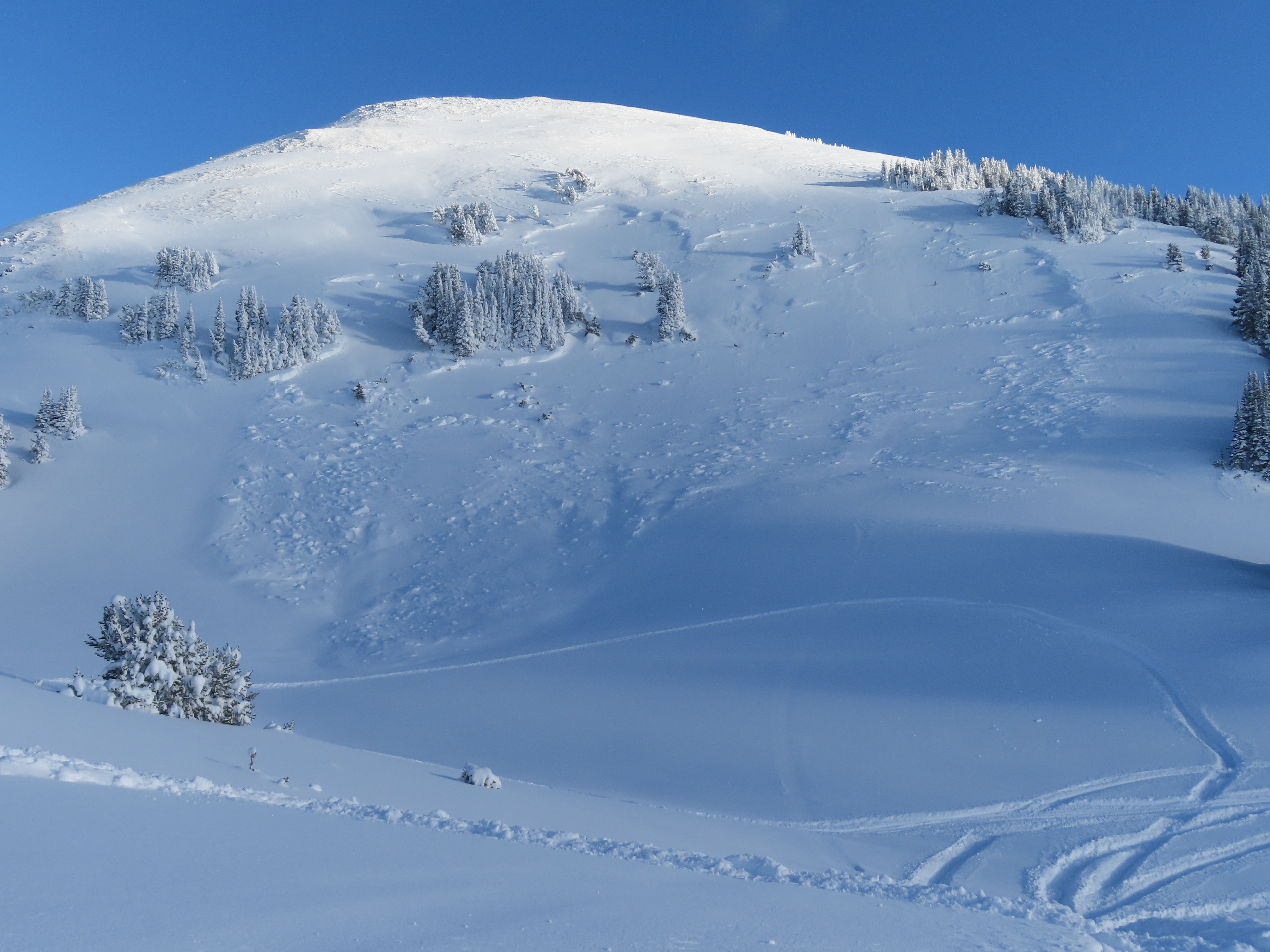
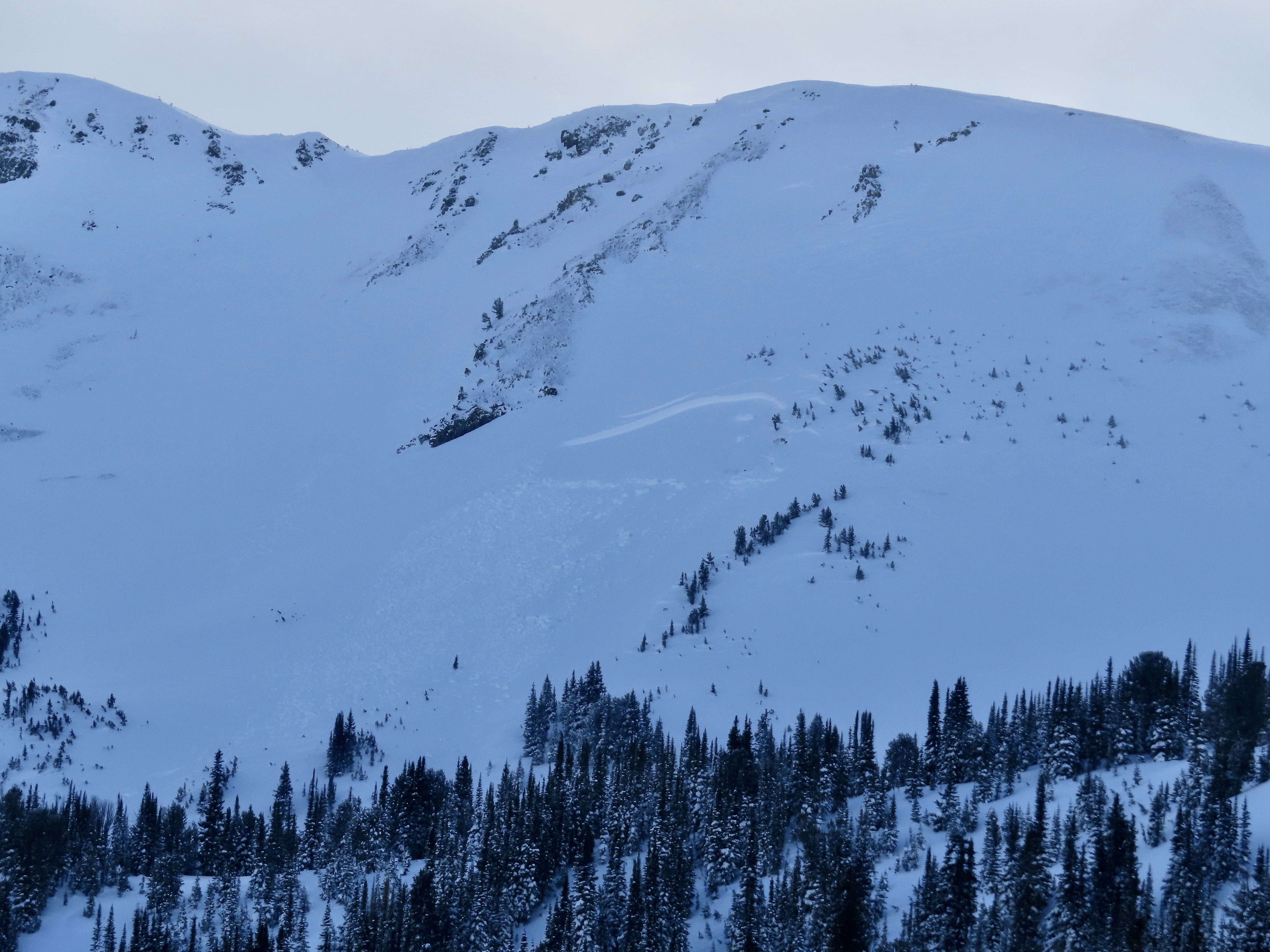
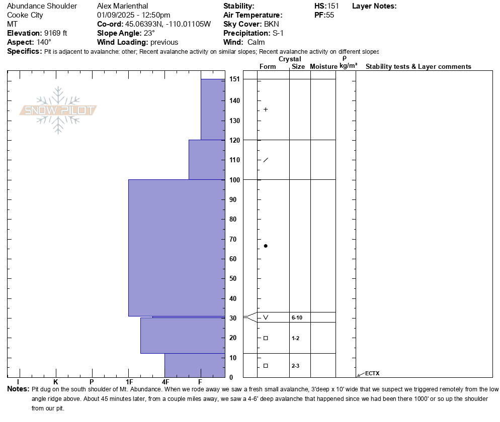
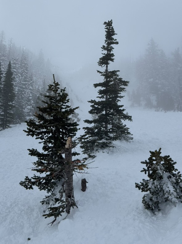
1) When we rode away from our snowpit on Mt. Abundance we saw a fresh 3'deep x 10' wide slide that we might have remote triggered from the flat ridge above (photo attached). 2) About 45 minutes later, from a couple miles away, we saw a 4-6' deep avalanche that happened since we had been there, about 1000' up the ridge from our snowpit (photo). This slide was either natural or remote triggered by riders about 1000' away who were there after we were. 3) An avalanche on the south end of Henderson Bench that looked fresh and someone else thought happened today. This one was 6' deep and broke at the bottom of the snowpack.
There was also a very large avalanche on the north side of Fisher Mtn. that happened at some time in the last week (could have been 48 hours to a week old), regardless of timing, this slide further shows the deeper weak layers are a real problem as snowfall continues to adds weight to the snowpack.
Our snowpit produced an ECTX and had 4' of snow above a layer of surface hoar buried one foot off the ground with facets below.
Full Snow Observation ReportOVC with 10k cloud ceiling in the morning (S-1) which cleared to BKN high clouds by 1pm. No signs of wind transport from the previous 24hrs (tree tops holding snow, little/no snow surface clues at the prayer flags and below).
We took a quick look at the upper ~1m of the snowpack: generally non-consolidated fist-hardness snow. Small, dry-loose slides were observed in Going Home Shoot and on the west facing wall of Middle Basin. We were able to move the top 5-10cm of snow in short, occasional sluffs but did not experience any other signs of instability. No other signs of avalanche activity could be spotted in the area. By 3pm, wind on the summit of Lone Peak was transporting lots of snow.
Full Snow Observation ReportWent climbing in the greater G1 area yesterday. Pockety slide paths and gullies near G2- Hangover were starting to cross load. Slab formation was just beginning (surface cracking and notable propagation.) Slabs did not have the volume to be consequential, yet. There is a lot of AST (thigh deep trail breaking places). These lower elevation paths are often relatively benign since they are generally well protected. A little bit more wind and slab formation could create hazardous travel in this areas with unforgiving runouts.
Debris piles from recent DL and likely SS avalanches were observed under cliff bands and gully features in the area that have likely run naturally throughout this storm cycle.
Full Snow Observation ReportToured up the Boundary of Yellowstone Park today. Performed stability tests on two different aspects at two different elevations and these were our results.
- 9100', South aspect, 120HS, Rounded FC at base. Recent storm interface found small .5mm FC 40cm down but no test results on that layer. ECTX
- 9800', West aspect, Hs190cm, ECTX, LOC 110cm down, old MFcr/Facet Layer
No recent avalanche activity seen. One large collapse near a ridge line with thin snowpack (<70cm)
Deep Slab on Northern aspects still a player. Rounding Basal Facets found on South and West aspects
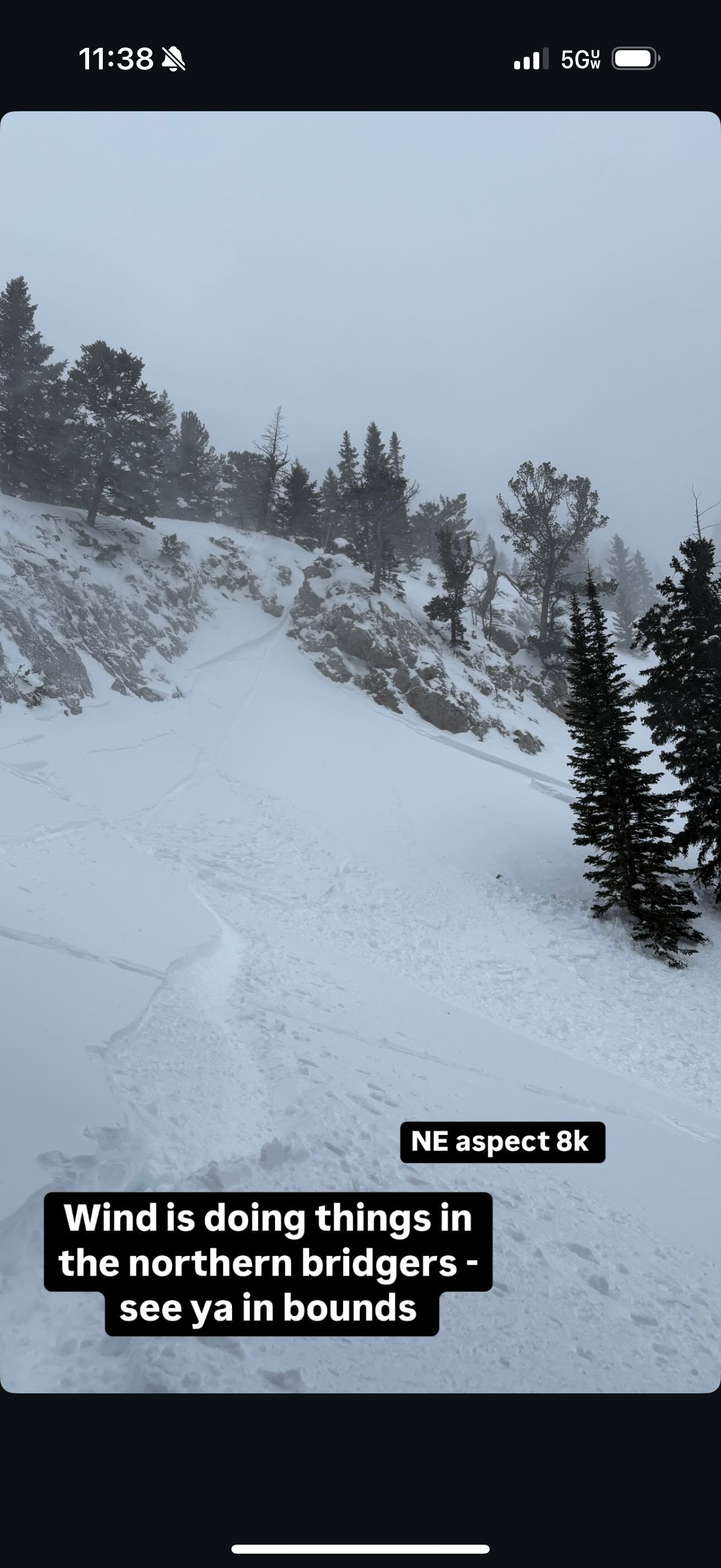
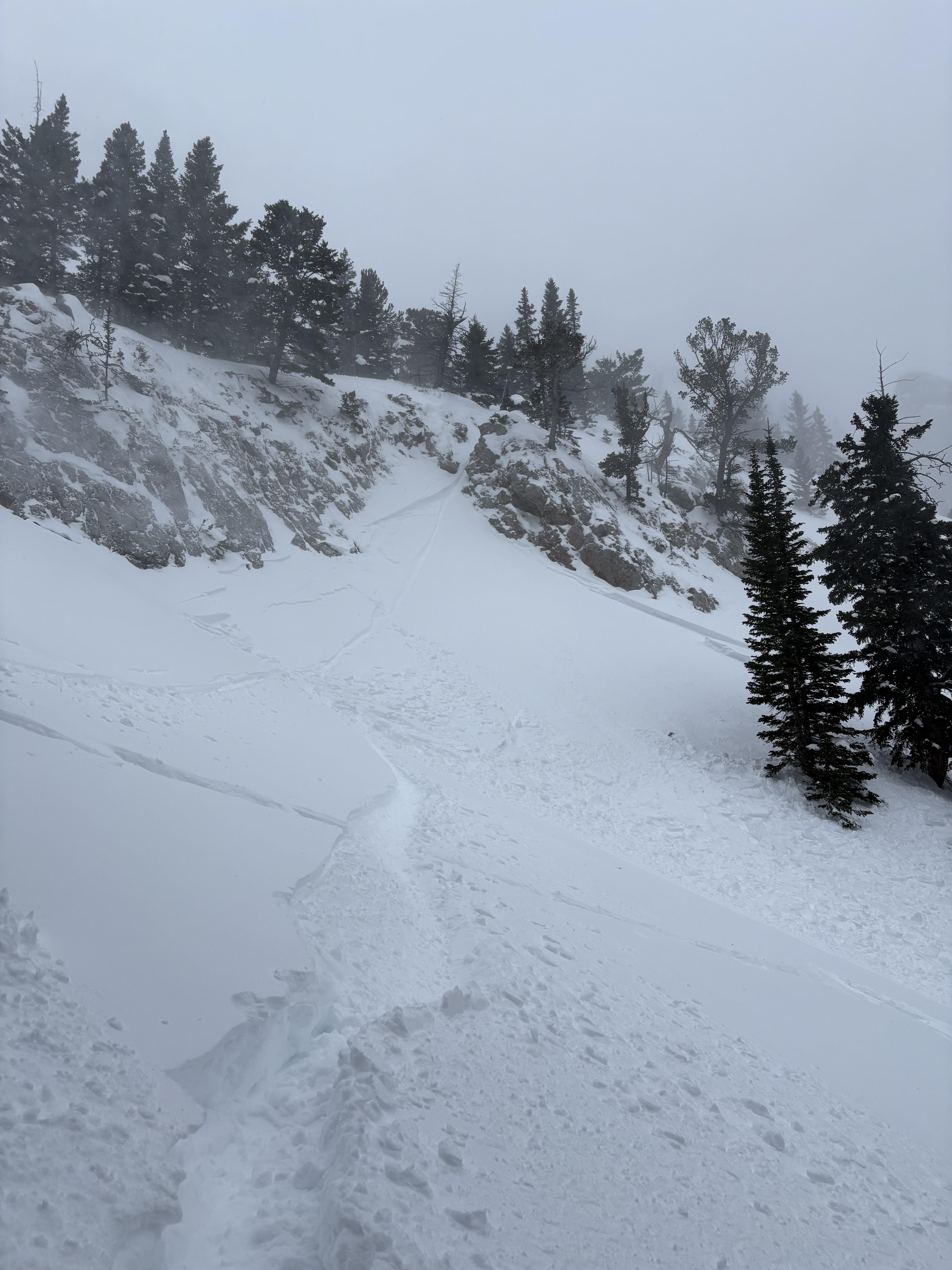
Full Snow Observation ReportWind slab around 3-12" deep. NE aspect at 8,000 feet. Occurred sometime on January 8th.
Full Snow Observation ReportOn 01/08 my partner and I skied into Frazier basin in the northern Bridgers, we skied the love chutes east down and overall the descent was pretty wind hammered from a downward wind. Once at the lake we took the Frazier return route where we found much better ski conditions in the corridor and decided to lap some of the features. We ended up triggering a small wind slab at around 8k on a NE aspect that broke about a foot deep and ran about 25 yards. Very dense wind slabs were forming on a lot of the aspects getting out of Frazier and we opted to not test our luck any further for the day.
thanks for all the hard work this season GNFAC
Full Snow Observation ReportTraveled out the North boundary of Bridger Bowl to Texas Meadow. S1-2 from 1030-1200. S2-3 from 1330 until we ended our day (1600). Moderate to Intense snow transport observed NTL. Loading observed on N & S aspects due to swirling and inconsistent winds. Total snow accumulation of 4" observed during our time in the field. Observed two natural avalanches in steep terrain above Texas Meadows, likely released during periods of high PI combined with wind (SS-R2-D1-N).
Full Snow Observation Report
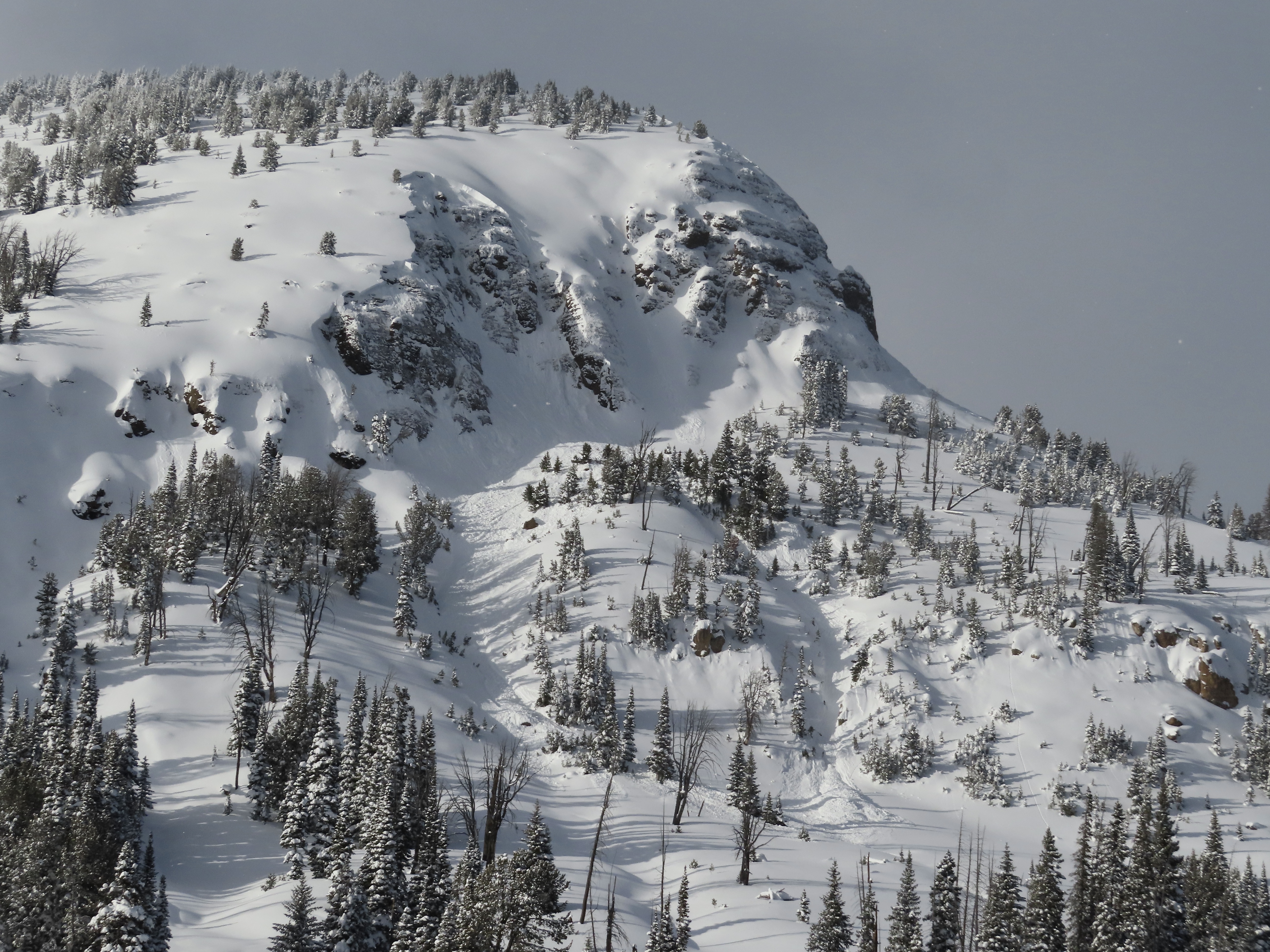
Skied south of Cooke today and noticed a large natural avalanche just north of the South Siren. N-R2-D2.5-O. It wasn't fresh and likely ran during the last storm cycle.
We dug on an east aspect at 9800', ECTX, HS150. No cr, co.
Full Snow Observation Report
As my elevation increased, so did the wind. Heavy gusts were moving snow. Clouds were visible and moving fast above Bridger Bowl and Ross peak. Ross Pass was visibly wind scoured.
I didn’t observe any natural avalanches in the steep terrain along the ridge between ski area northern boundary and Ross peak, but did notice some ski tracks (I believe in the “Trident, Dog Leg chute”).
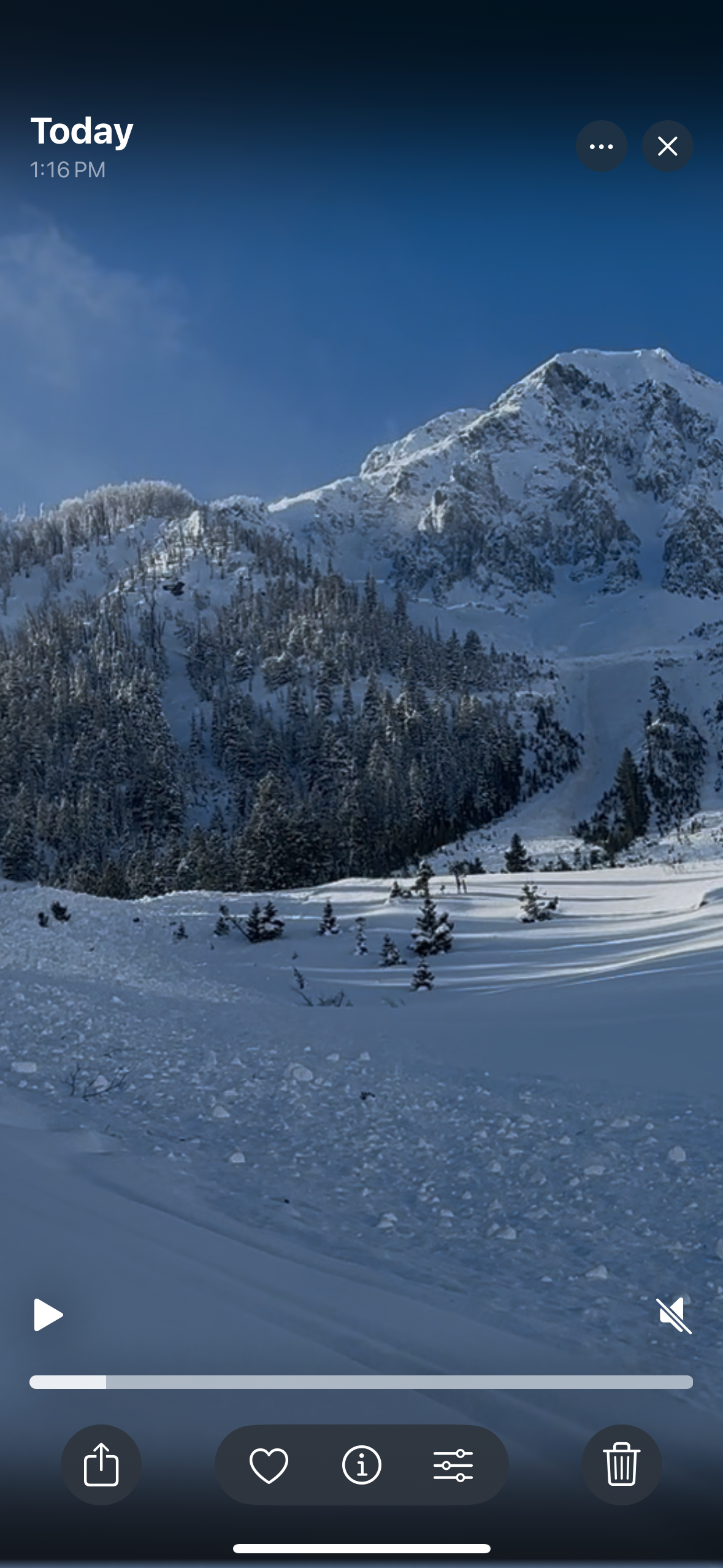
Full Snow Observation ReportWe rode into the Taylor Fork today to check out conditions after the new snow from the last two weeks. We traveled up to the weather station above Sunlight Basin, along Sage Basin to the the Beaver Slide, and through Carrot Basin to the wilderness boundary.
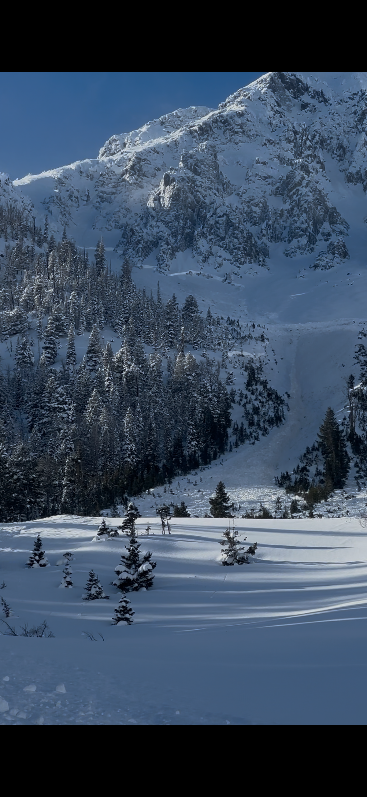
No cracking or collapsing was noted today. We did note two small avalanches along the Carrot Basin headwall from sometime in the last two days that broke on weak snow near the ground. These areas looked to have a shallower snowpack. Besides old crowns previously reported, and these two slides, we did not see any new avalanches in the area.
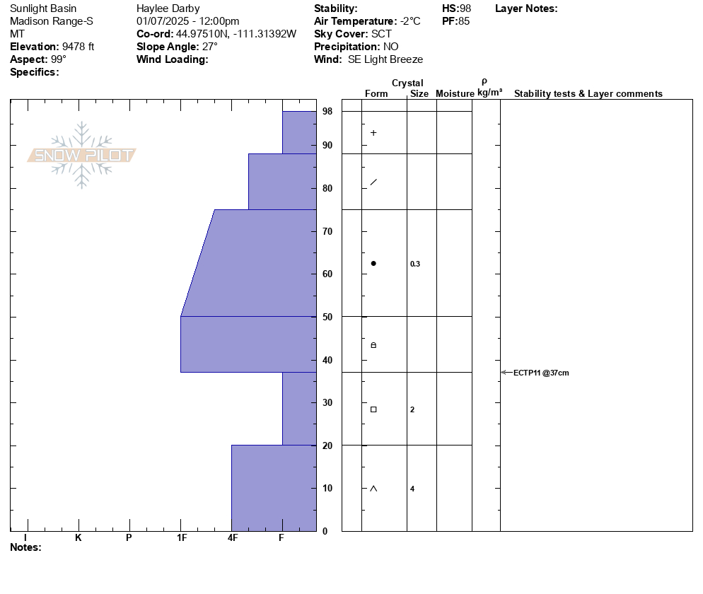
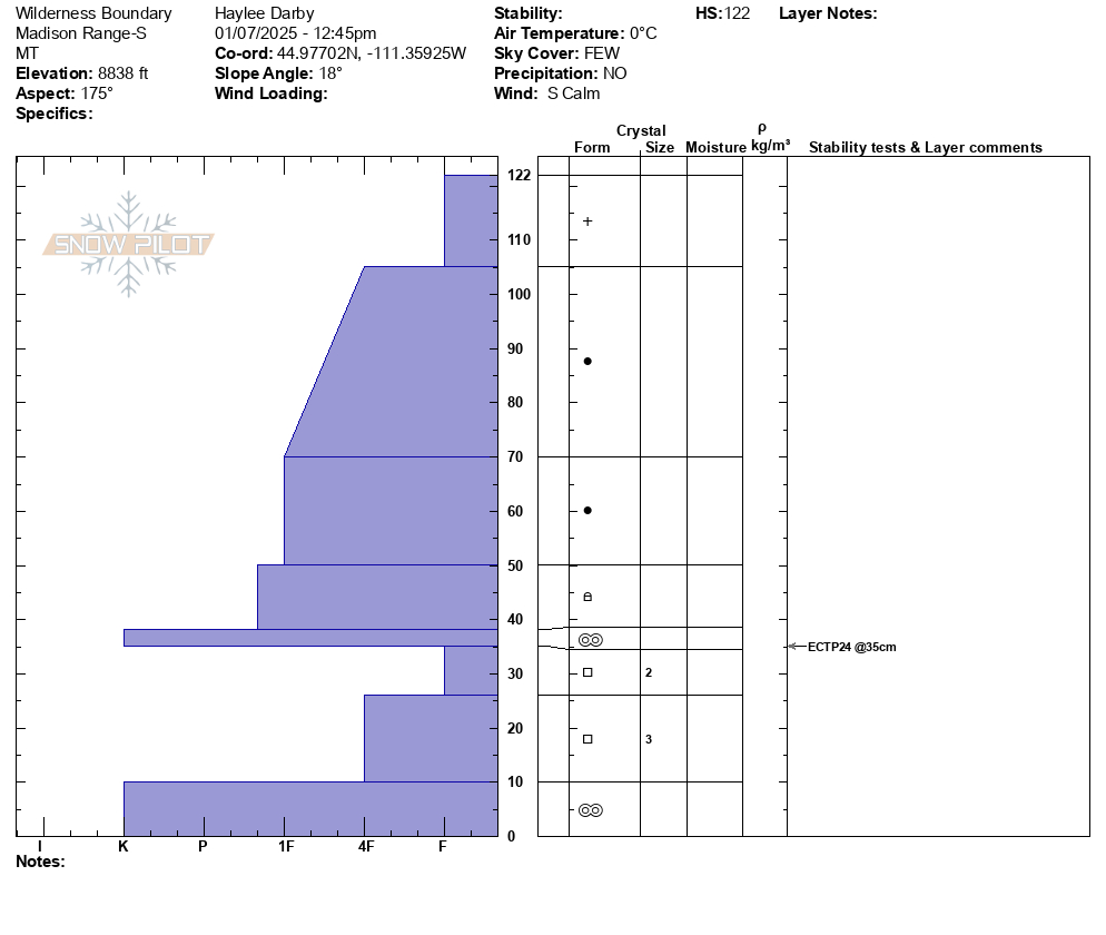
Near Sunlight Basin, we performed a snowpit test on an east aspect at 9480' (HS 98). It propagated (ECTP11) on weak, faceted snow near the ground. Our second pit, at the wilderness boundary, was on a south aspect at 8840' (HS 122). It propagated on weak snow below a melt-freeze crust near the ground (ECTP24).
With blue skies, sunshine, and a lack of cracking and collapsing, it was easy to be lulled into a false sense of confidence about our snowpack. But with a loading event ending only yesterday and our unstable test results, we chose to reign in our enthusiasm, follow a conservative travel plan, and stick to riding lower-angle powder.
Full Snow Observation Report
Fresh snow had fallen the night of Jan 6th and through the morning on Jan 7th, about 4-6” of low density snow above 8000ft. No wind or recent drifting was observed. New snow from the past storm was 3-4ft deep, basically comprising the entire snowpack, the avalanche failed on a layer of depth hoar at the base of the snowpack.
As I made my way up toward emigrant peak I observed a very large natural avalanche that ripped out on a NE aspect at 9500ft. It propagated hundreds of feet wide and ran approximately 1500ft. The deepest part of the debris pile was ~15-20ft deep. The crown was approximately 3-5ft deep, maybe deeper.
Observed several large collapses and whoomphing as I toured around the area. I observed at least 4 other natural avalanches in the area, not as big but still a tell tale sign to have cautious route finding and avoid slopes steeper than 30 degrees in this mountain range.
Full Snow Observation ReportObserved one avalanche in the steep chutes just outside the N Bridger Bowl boundary, SS-R2-D1-AS
HS between 150 and 200 cm. 90-120 cm of storm snow over firm mid Dec layers over facets. 15cm from the last few days. Some wind transport at mid elevations with lots of W wind up at ridgetop throughout the day. Much windier than expected in Bradley Meadow with moderate winds swirling from N and W. Sky was BKN and, no new snow. Temps around 10F.
Full Snow Observation Report
Group from Wisconsin spotted 3 very fresh avalanches today. 2 for them near Red Canyon and 1 near Whites Peak. No other info. Might get photos tomorrow.
2 other slightly older slides spotted
Full Snow Observation ReportSkied north of Cooke today. The light wasn't great, but I think there is an older avalanche on the east face of Miller Ridge in steep terrain. Could barely make out a crown line near the ridge and old debris on the apron. Maybe it ran 3-5 days ago? No cr, co and the winds were light out of the W-NW, moderate at ridge tops. We picked up 8cm of low density new snow overnight, plus an additional 1cm throughout the day today.
Full Snow Observation ReportFrom IG Messages: “as expected, broke a slide out while ski cutting saddle today. Here’s the report.
After summiting south saddle peak, we noticed wind loaded snow on top of an old avalanche crown (maybe 4-5 days old - 2’ deep). We made the decision to ski cut high, hoping to break out the new wind drifted snow. We were the first ones out there today with just a party of two still on north summit. No one below us. I was able to get several small pockets to pop before a larger pocket broke, triggering a sympathetic slab down lower in Argentina bowl. Both slides ran 1000-2000’ into the flats down low (crossing the standard traverse). Debris piled up 20’ deep and broke trees up to 6” in diameter. Slow start, but picked up lots of steam. We skied lower and found good snow below the ridge where there was less wind effect.”
Full Snow Observation ReportI will add the video to YouTube but keep it private. https://youtube.com/shorts/oT9VVA9Ym4A
Did a few laps on third meadow, and dug a pit. The pit resulted in two failures without propagation pleasant skiing all the way down (new snow on top of old powder turns).
Pit Results
45.48054, -111.01267
~120cm depth
Facets forming on top in sun
ECTN5 failed 80cm above ground
ECTN25 failed 30cm above ground
I went full barbarian on the column after 30 taps, and couldn’t get it to slide on the facets in the ground.
Profile: Sugary facets 0-20cm; 1F 20-30cm; 1F crust @30cm, 4F 30-70. Fist 70-125cm (0cm is the ground).
Full Snow Observation ReportVery visible buried surface hoar layer was not producing ECT results so we cut a PST and got 30/100end. HS ranged from 105-135cm on leeward slopes and near 60cm on windward.
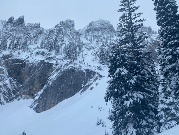
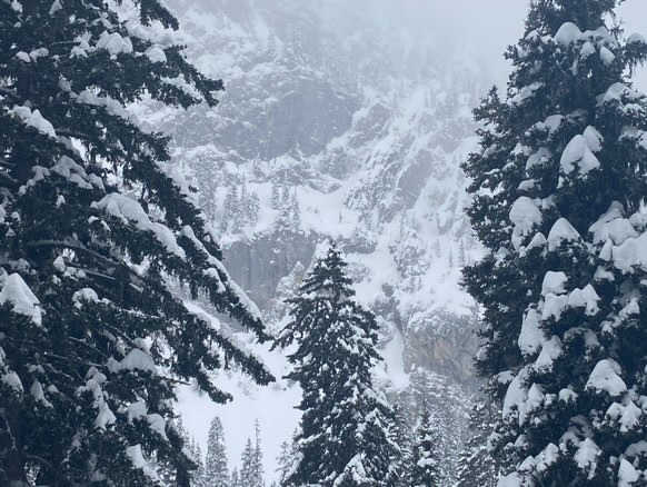
Full Snow Observation ReportWhile going for a walk up the main fork of hyalite today I spotted this crown below the upper cliffs on the maid of the mist
Full Snow Observation Report
