Snow Observations List
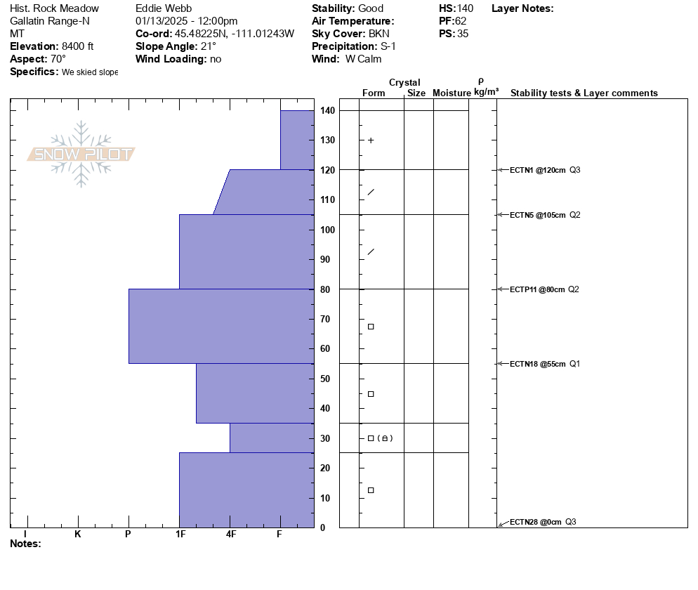
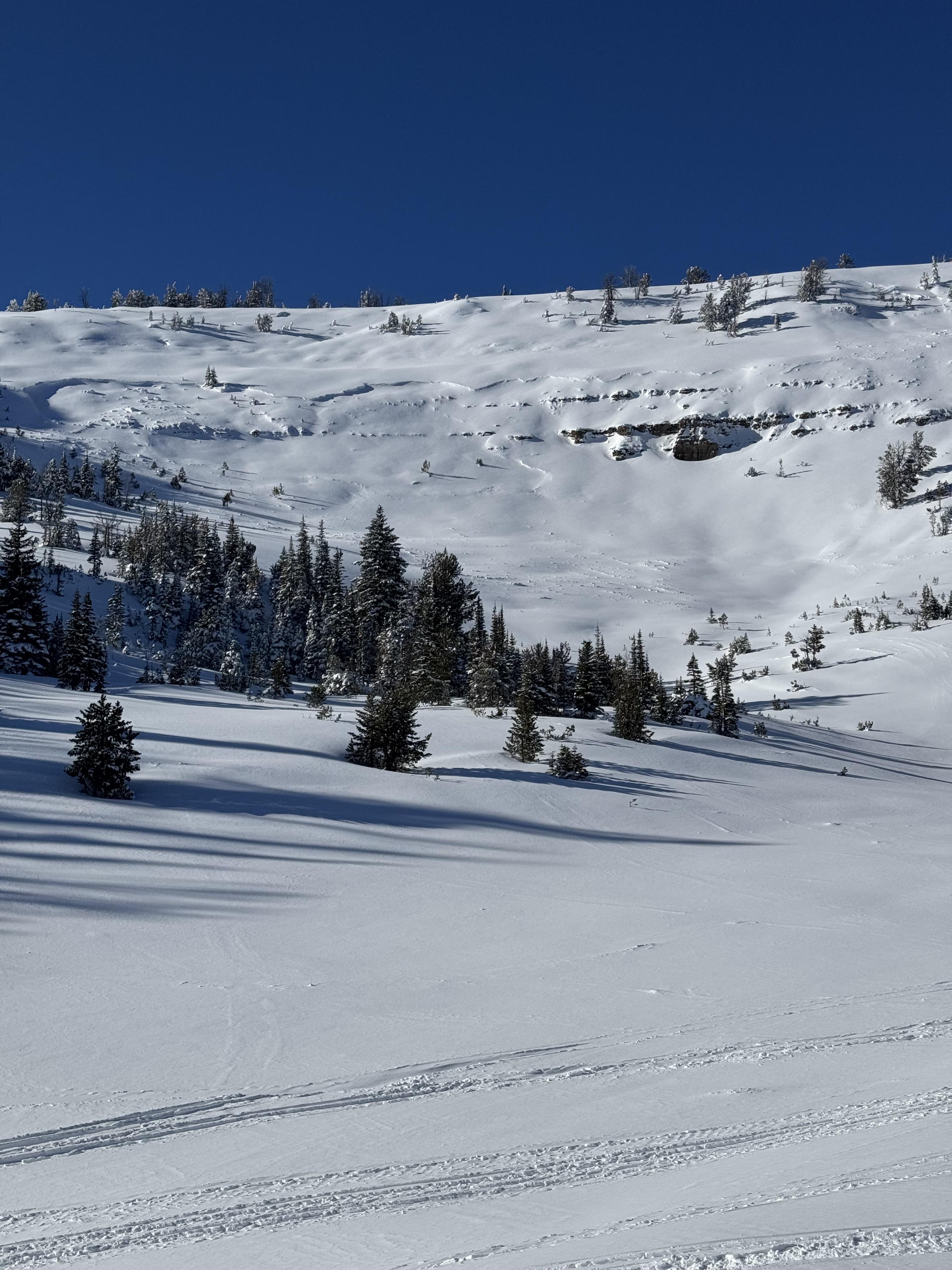
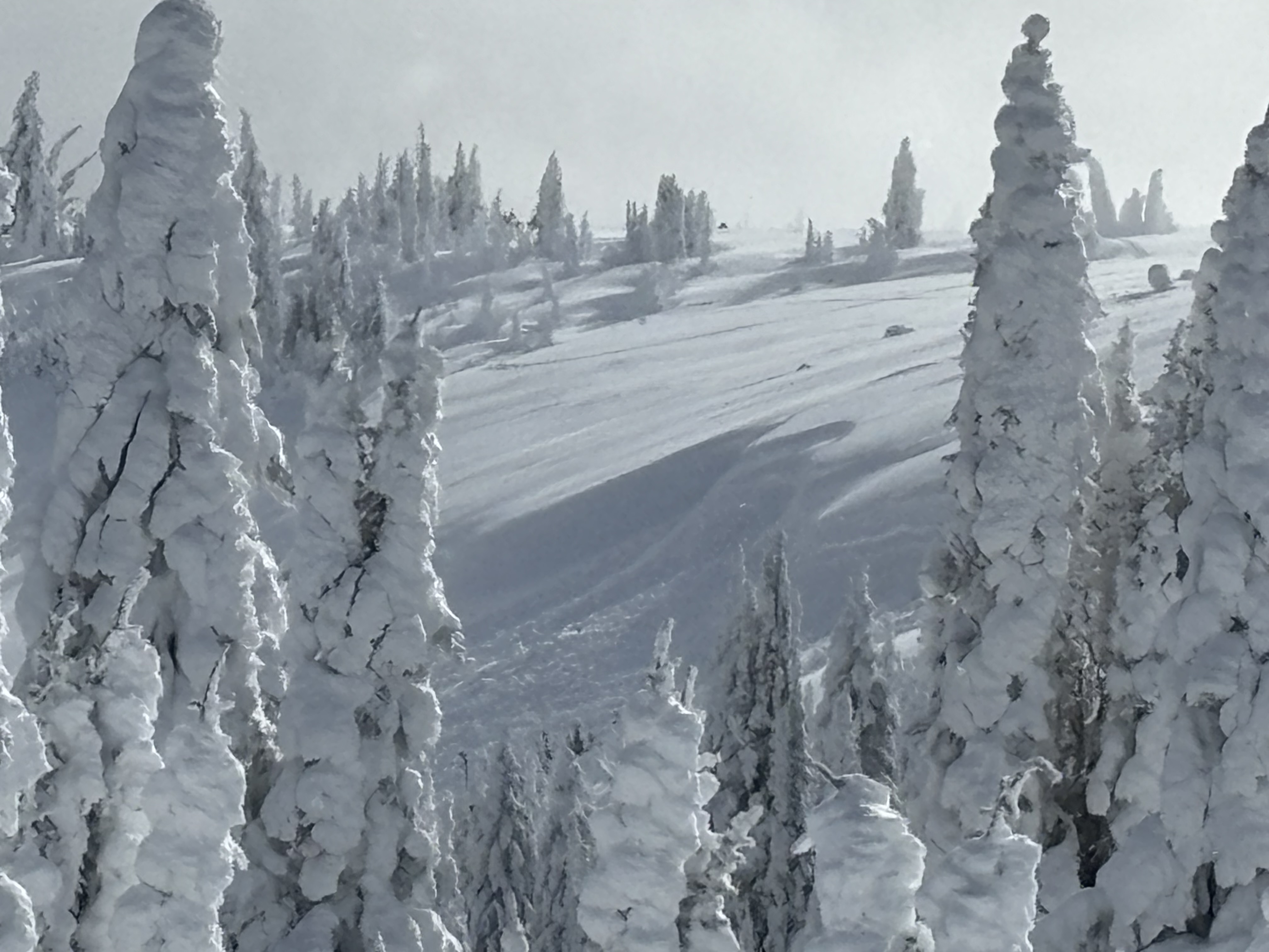
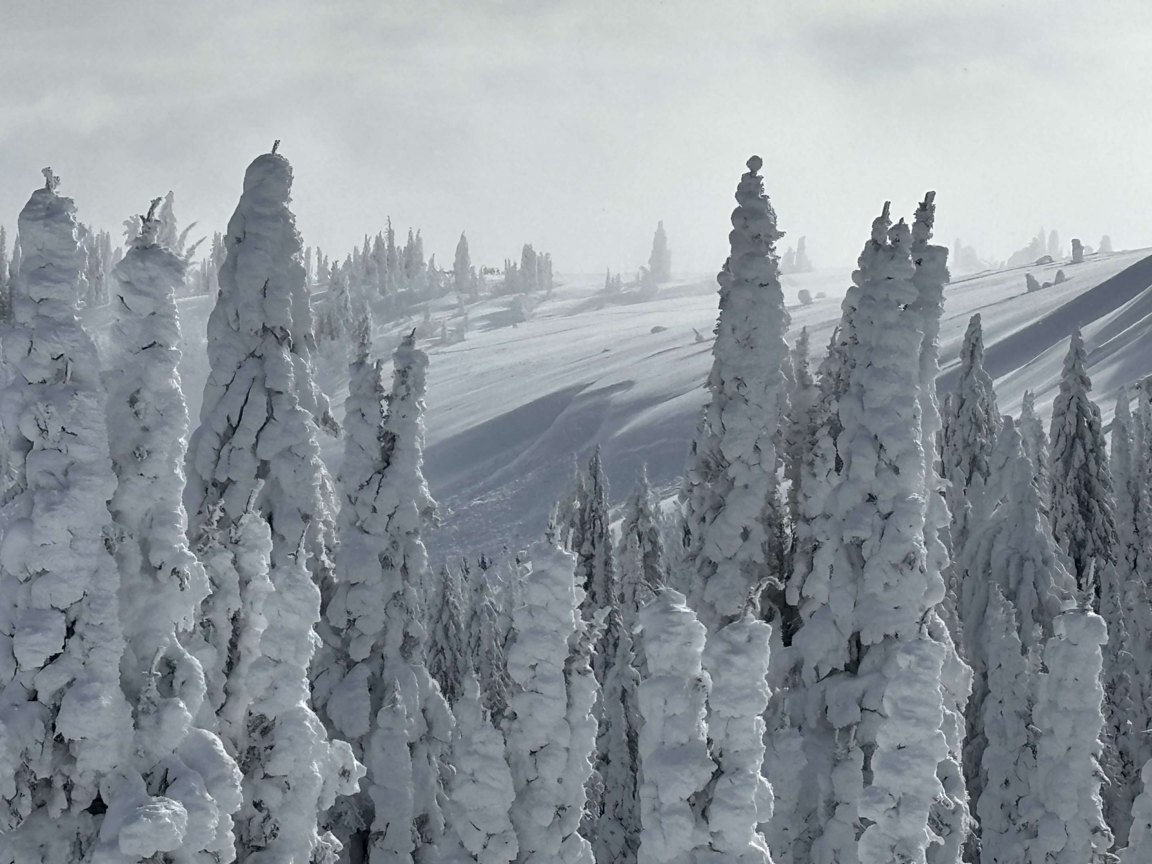
Skied the third meadow and dug a pit this morning. Calm winds with no evidence of previous winds around 8500'. S1 in the morning which ceased as skies began to clear midday. No signs of instability were observed.
Our pit provided several ECT results on multiple interfaces, which we were curious about after this previous storm cycle but were surprised by the lack of propagation/quality in our results.
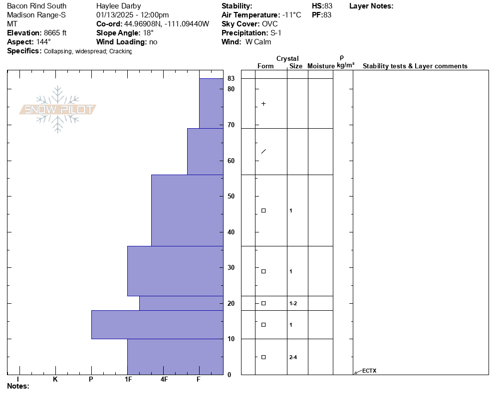
Full Snow Observation ReportTravel conditions have improved significantly since the last time we were at Bacon Rind, unfortunately, avalanche conditions have not. Similar to what Dave and Alex saw yesterday in Lionhead, the snowpack on Bacon Rind is shallow and has well-developed persistent weak layers near the bottom of the snowpack.
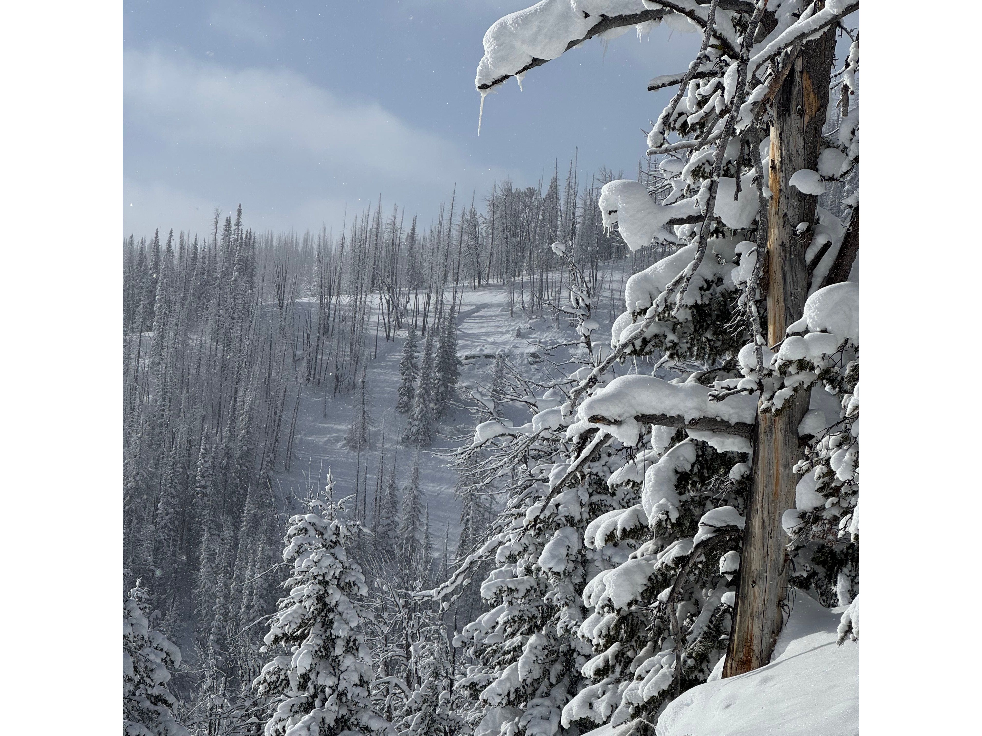
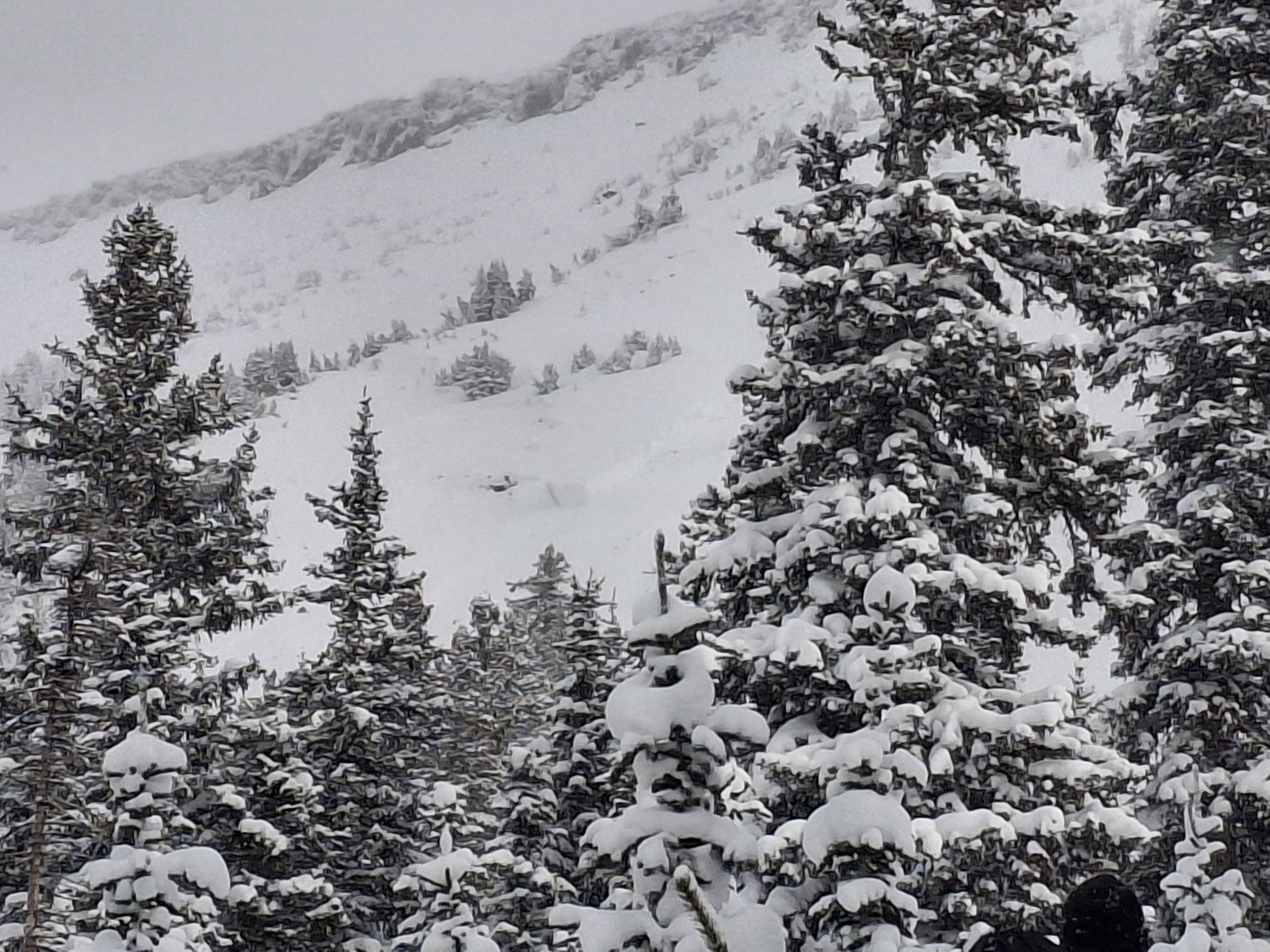
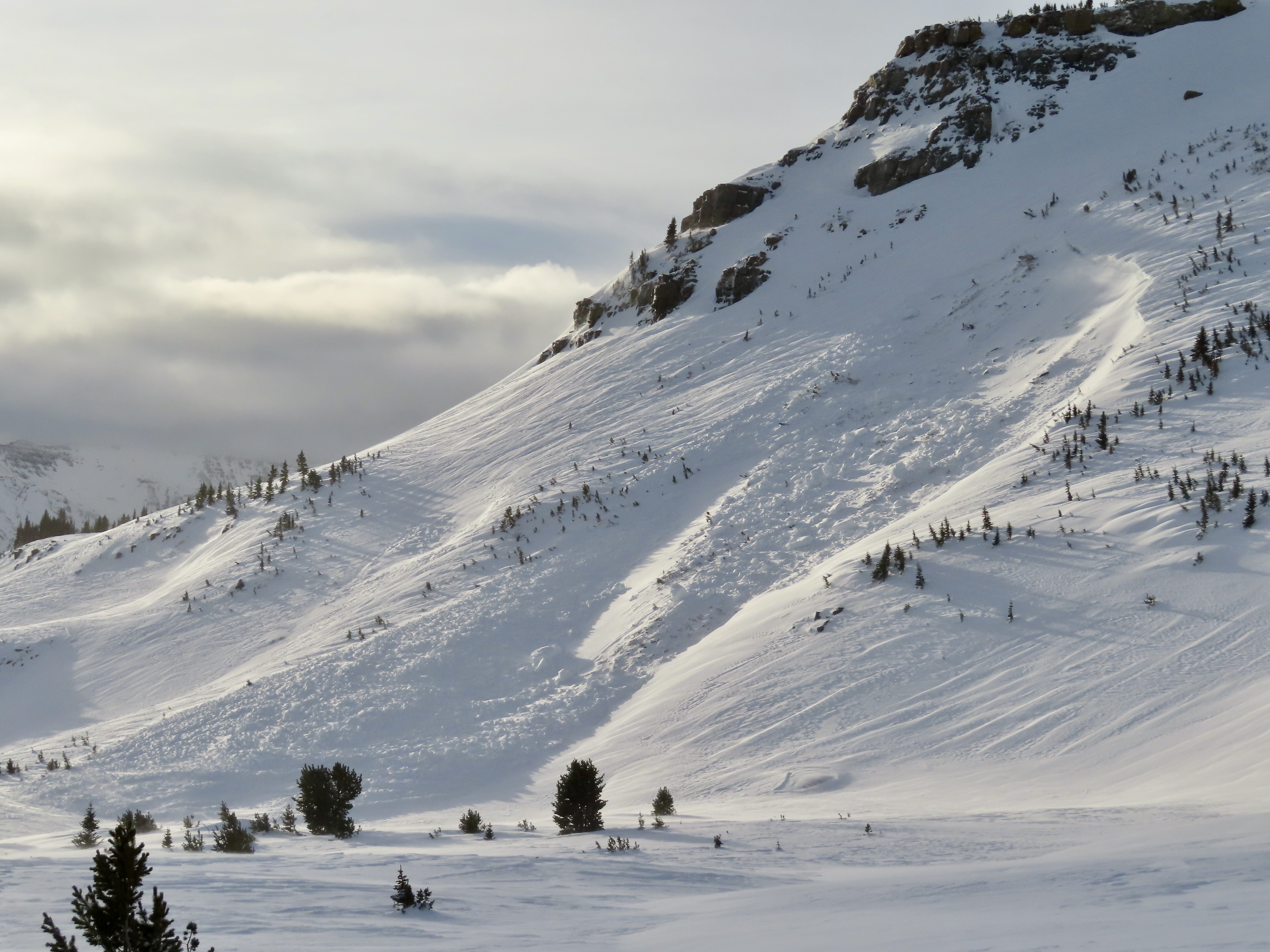
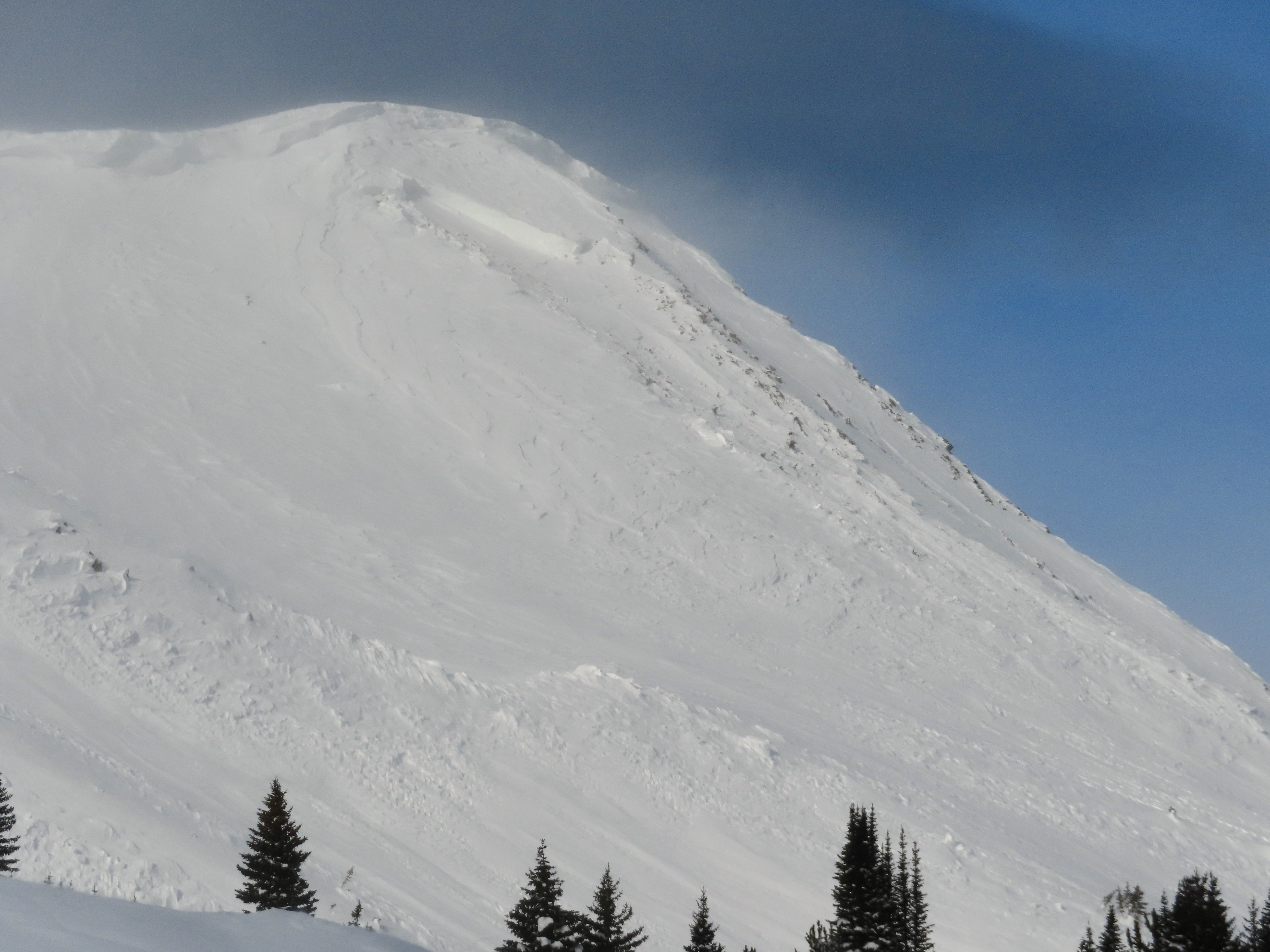
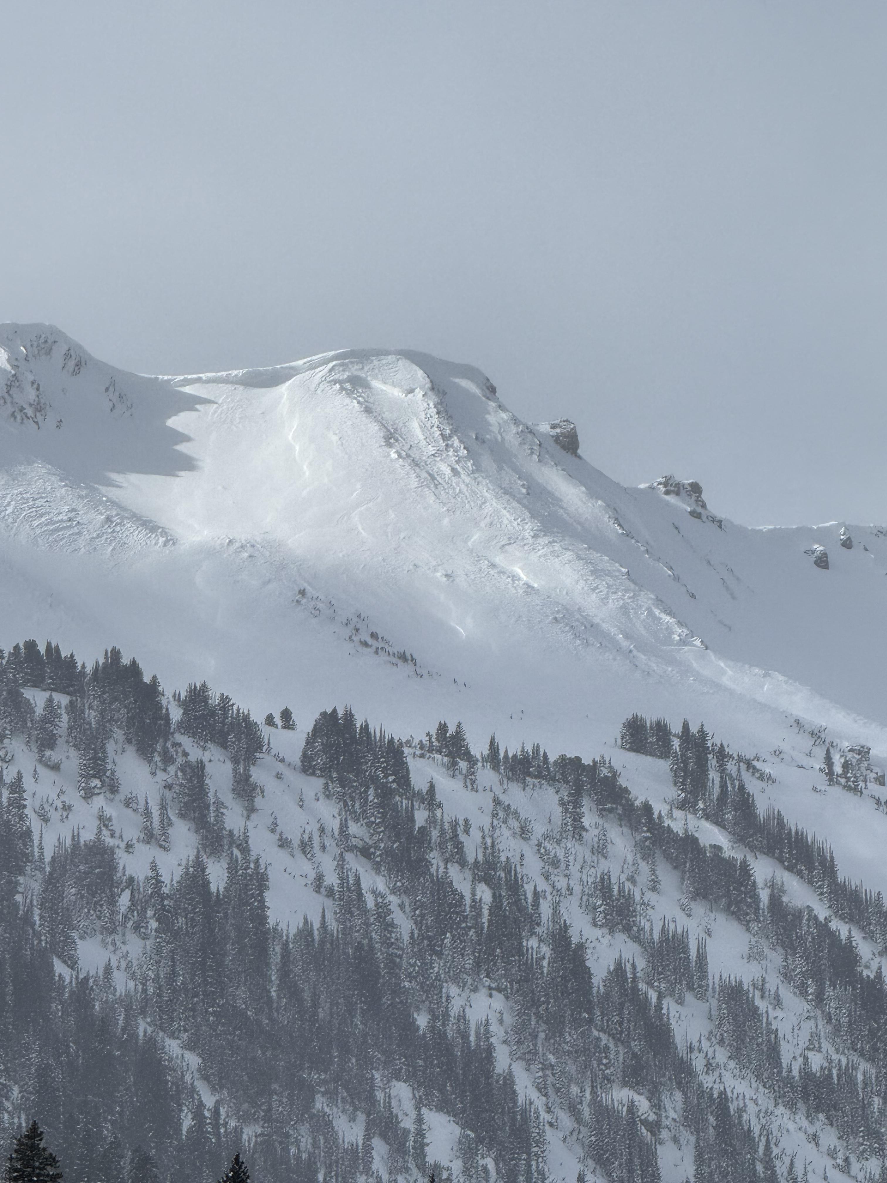
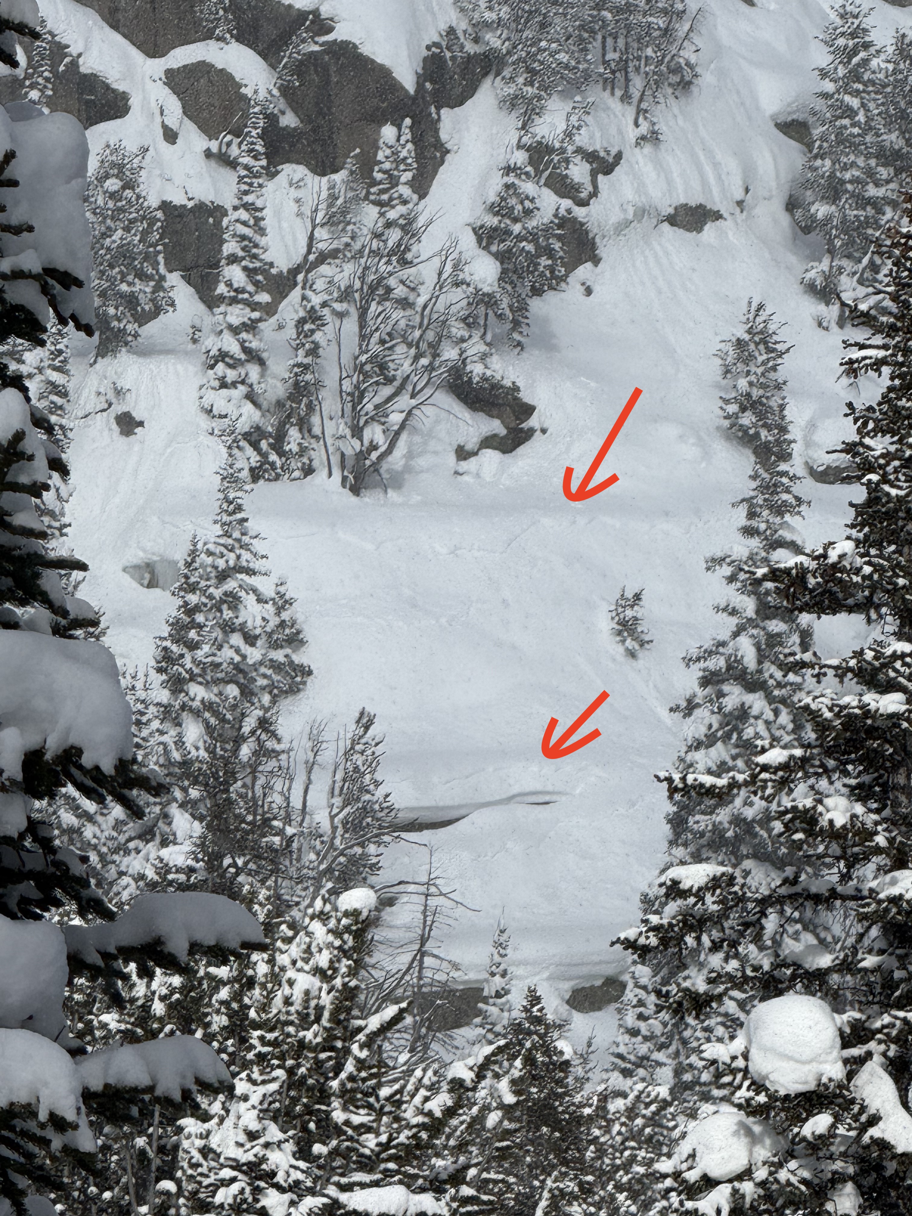
While ascending the burn, we triggered so many thunderous collapses that we quickly lost count. These collapses shook snow off the trees around us and visibly dropped the snow surface beneath our feet. Near the top of the ridge, we saw a large avalanche (SS-N-R3-D2-O) that broke on a north facing aspect, around 2' deep, on weak snow near the ground. It was not clear whether it was one large avalanche or two that released sympathetically with one another. If one slide, this avalanche broke nearly 900' wide and slid around 1000' vertical. It broke during the most recent period of intense loading in this area, likely January 5th or 6th.
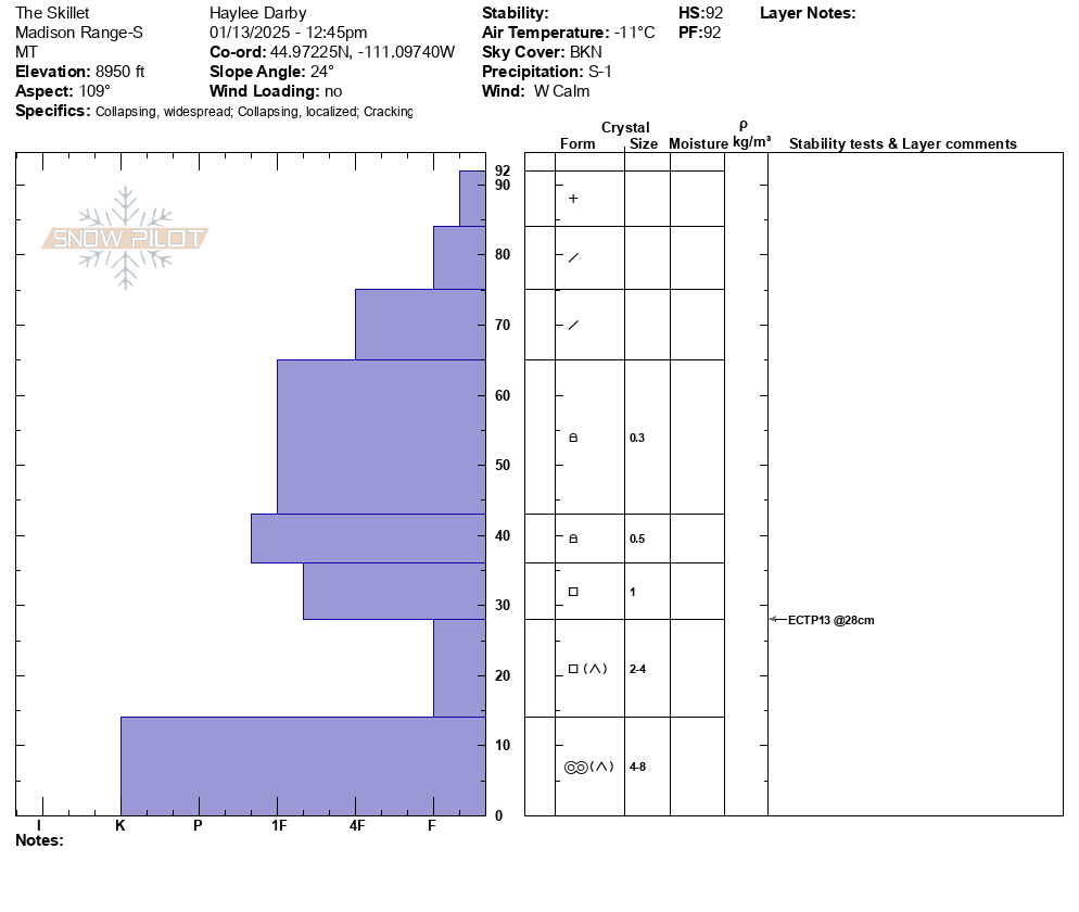
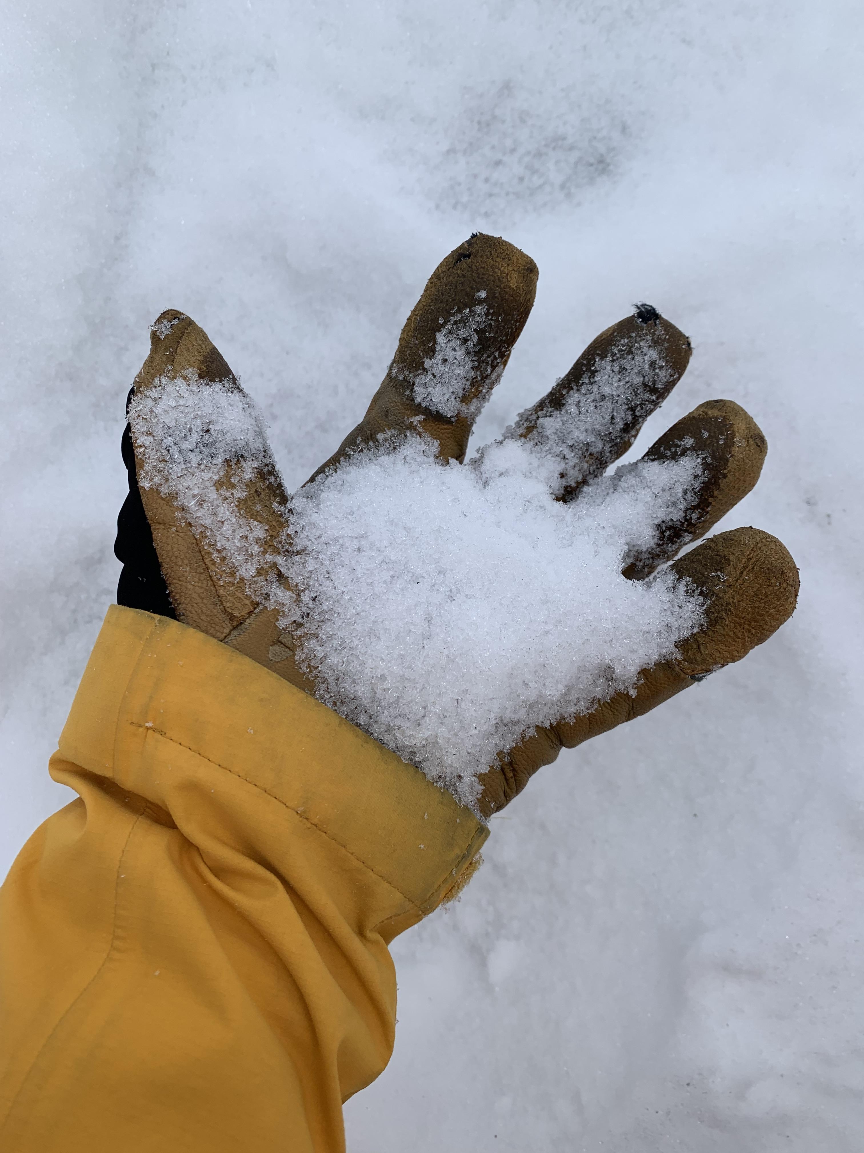
When we reached the top of the Skillet and dug a snowpit, we noticed that the upper portion of the path had cracked and shifted in numerous places but had not avalanched. Our snowpit on an east aspect showed a 2' dense slab on top of sugary facets and depth hoar. Our test result was ECTP 13. We also dug a pit on a south facing aspect and noted shallower snow that was slightly stronger than the other aspects we had seen thus far (north and east).
Given all these clear signs of instability, it was an easy decision to stick to terrain less than 30 degrees, including runout zones.
S-1 snowfall most of the day, with calm winds. Skies began overcast and cleared throughout the day.
Full Snow Observation ReportThe avalanche danger felt nothing but CONSIDERABLE today.
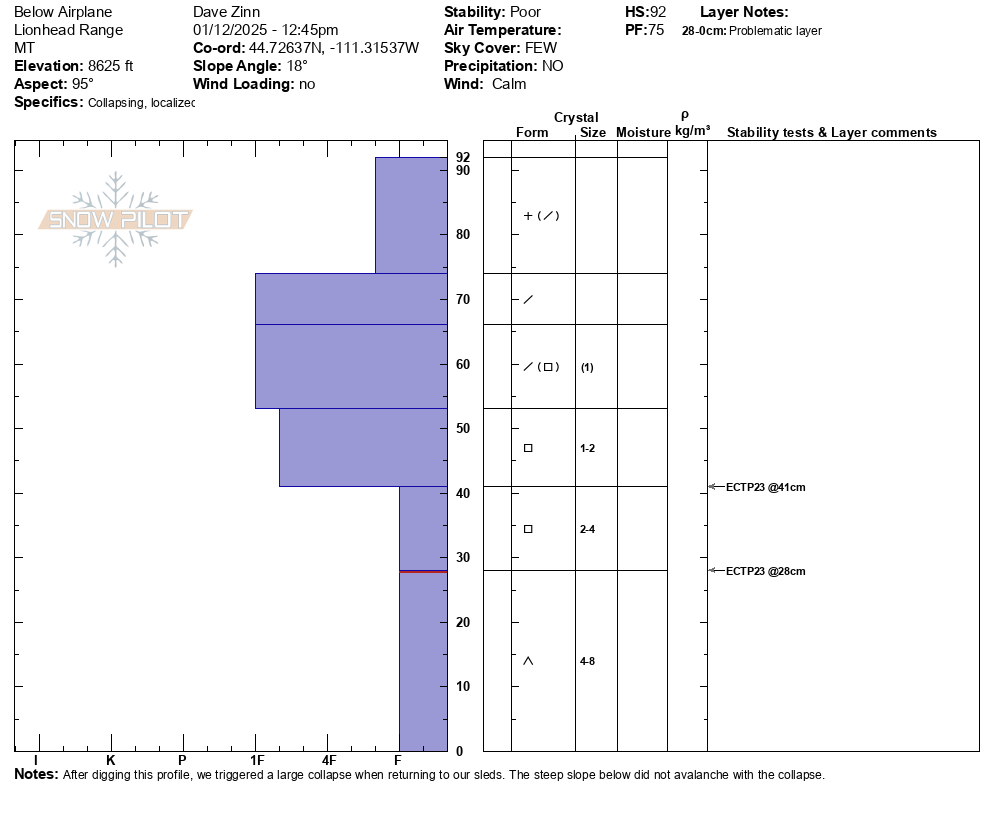
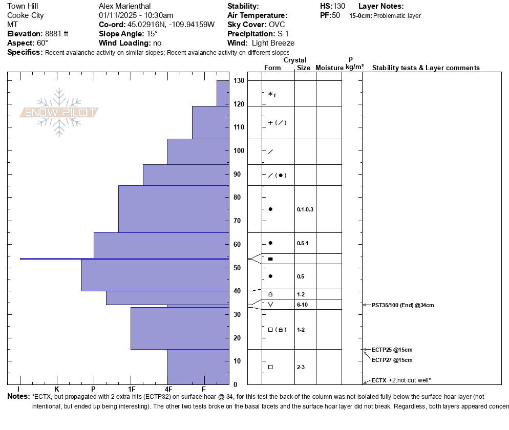
We rode below Lionhead Ridge via Denny Creek and found a snowpack with the worst structure we've seen in our forecast area. There was around 3 feet of snow on the ground between 8000-9000'. The bottom foot was sugary weak facets, and the upper snowpack was a supportable hard slab with new snow on top (profile attached).
We had two large collapses. The most significant collapse happened when we were leaving our snowpit and walking back to our sleds a few feet away. We heard a long "whumph" sound and saw our snowmobiles drop an inch, as the snowpack on the entire slope around us collapsed. Our snowpit had ECTP23 x2 breaking on the sugary weak layer.
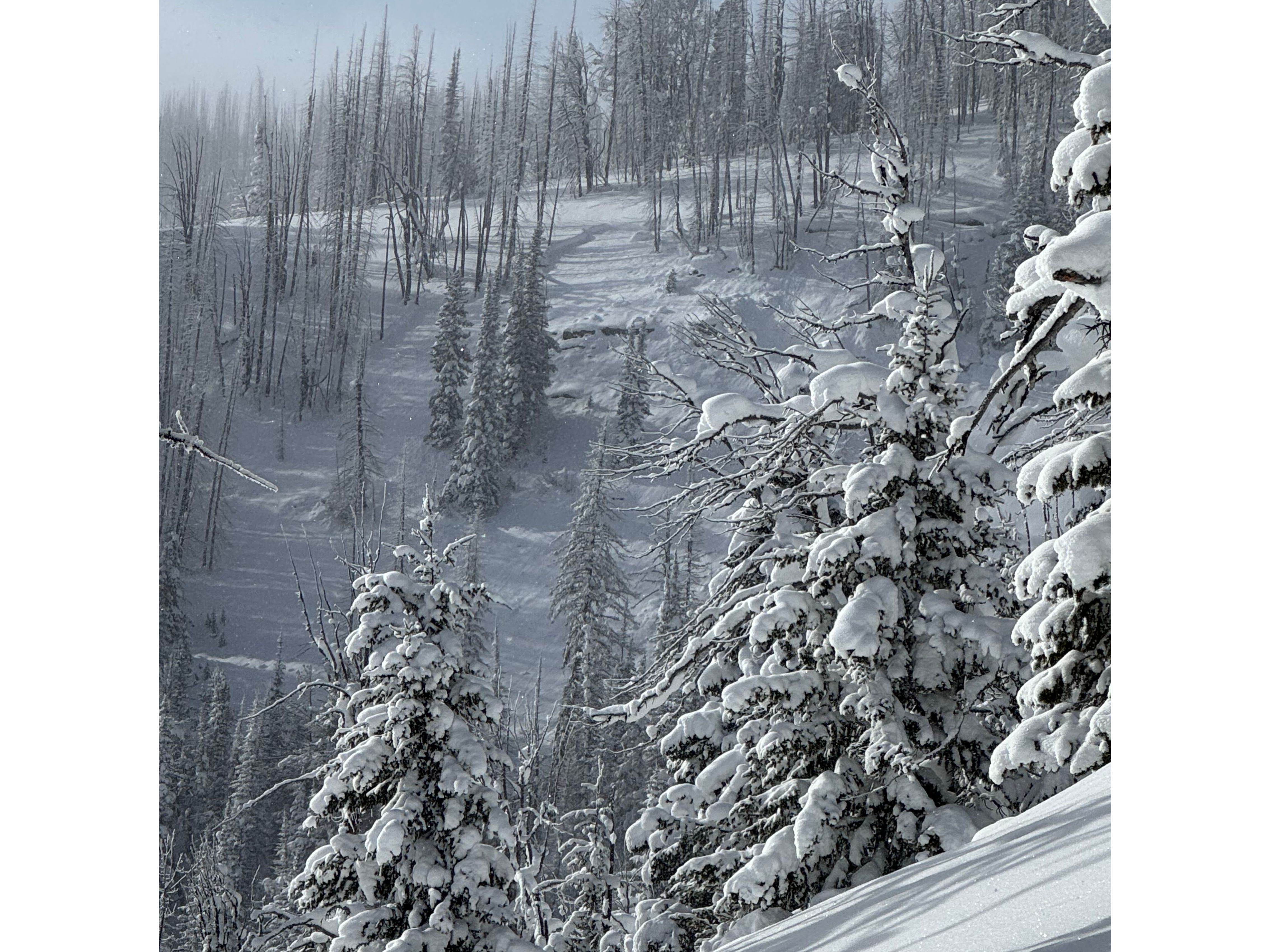
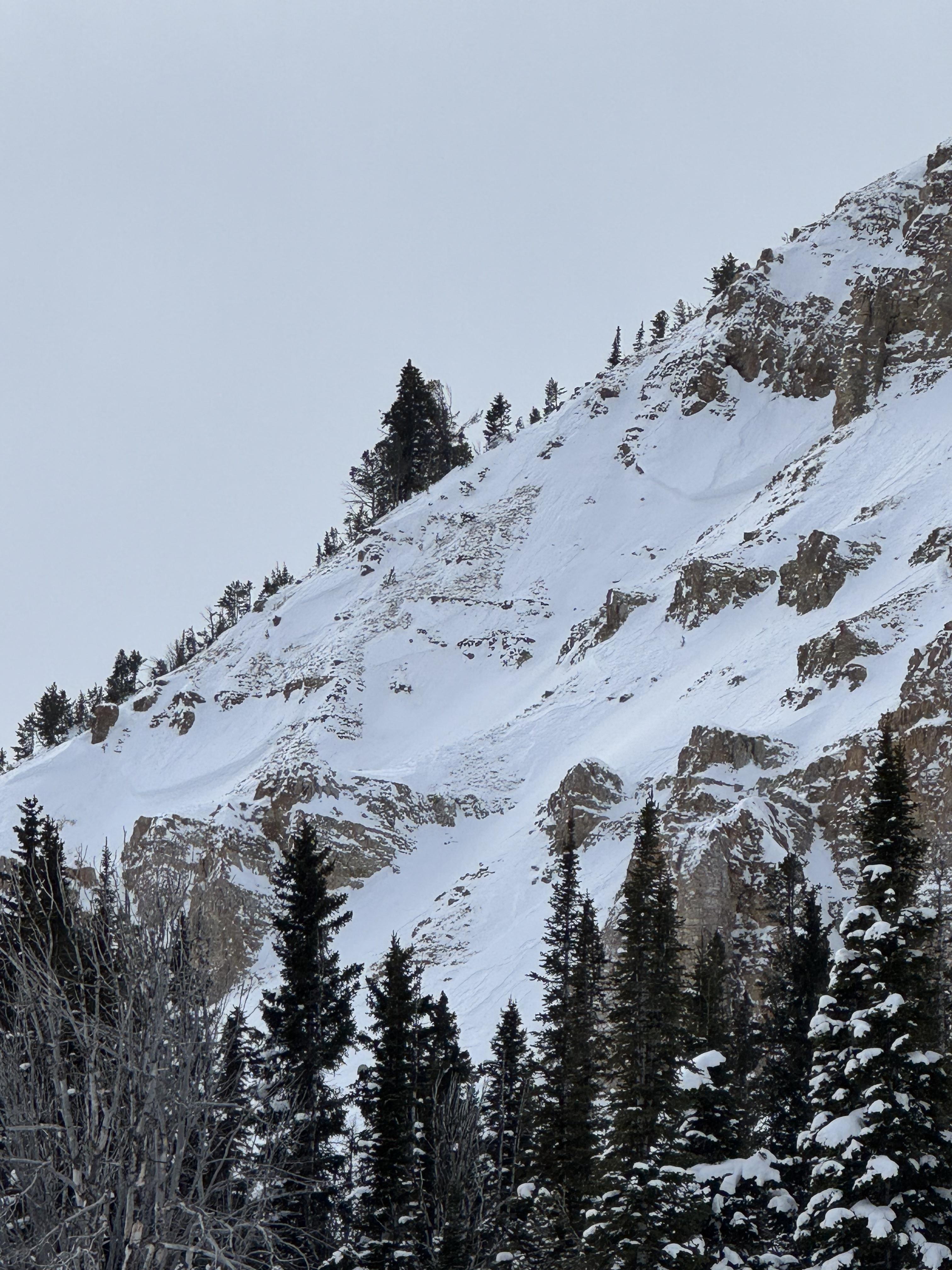
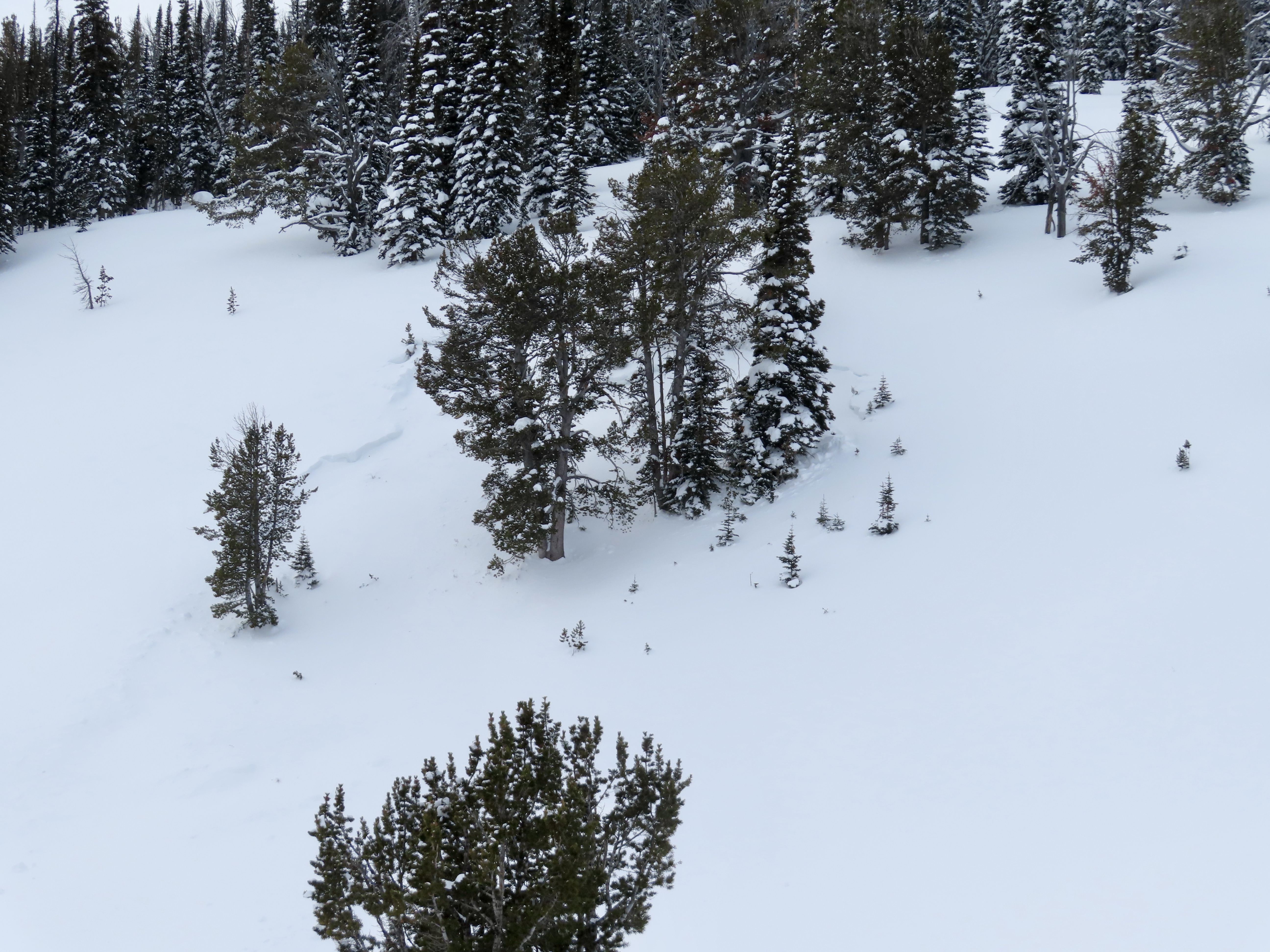
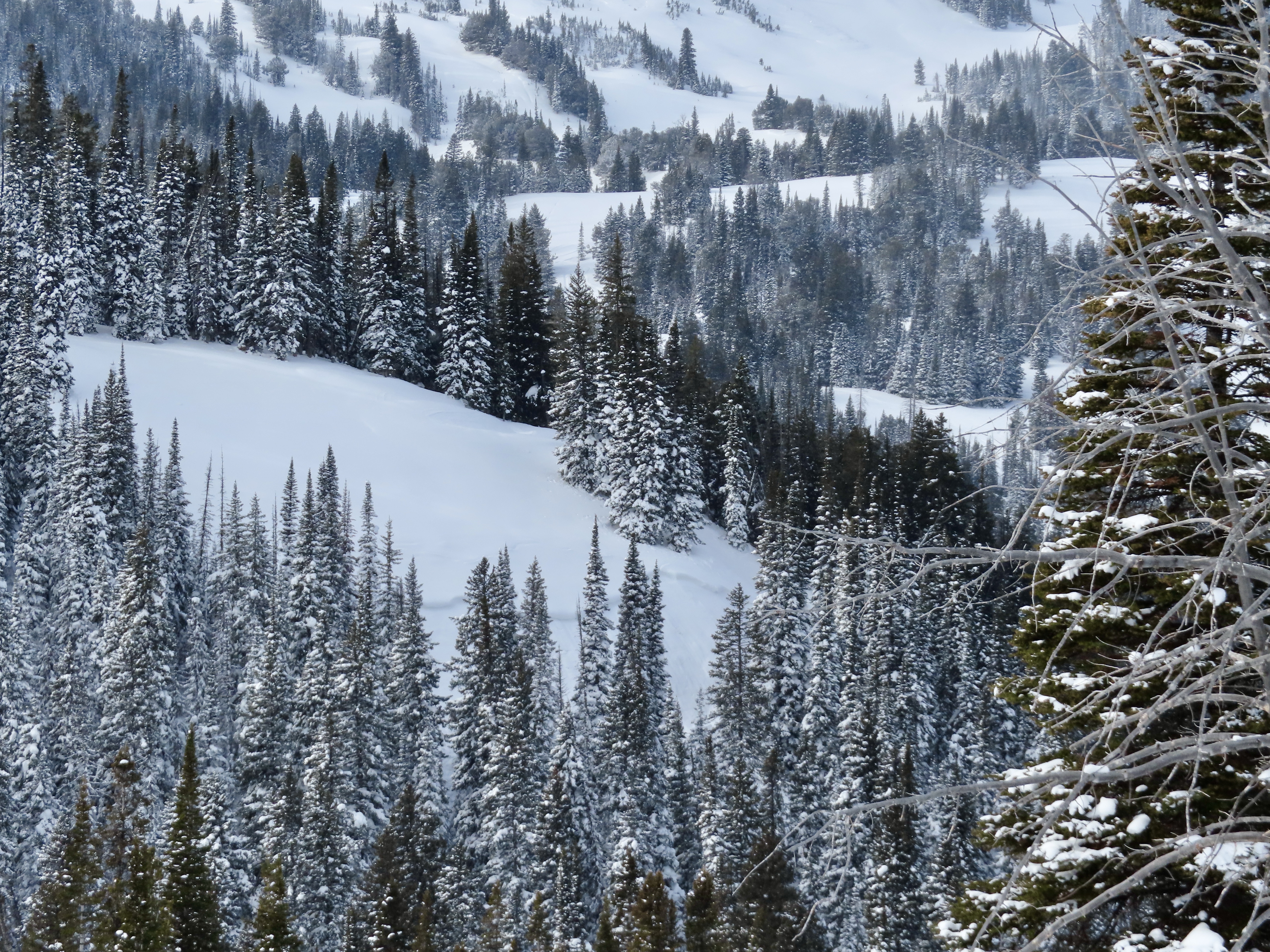
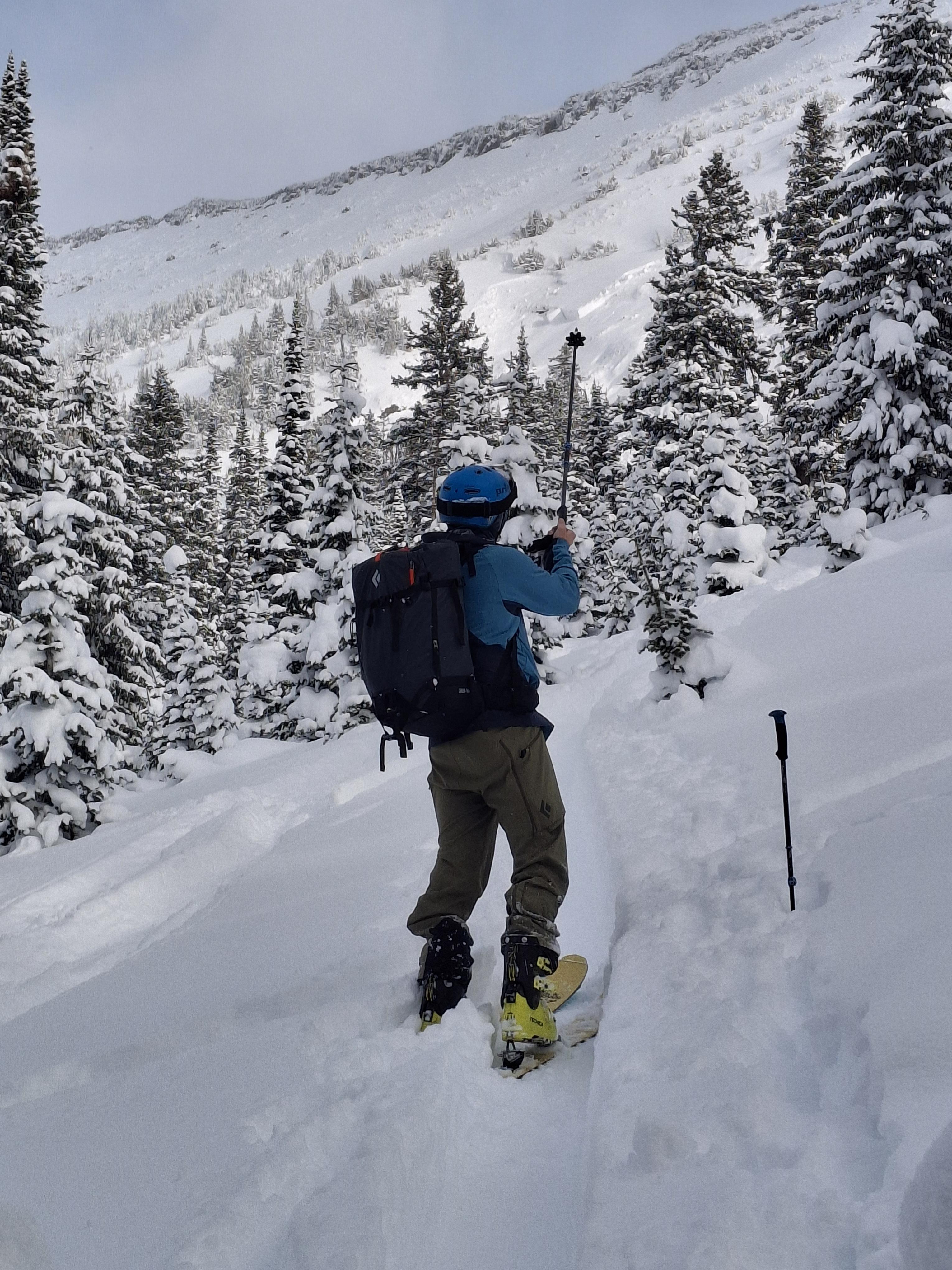
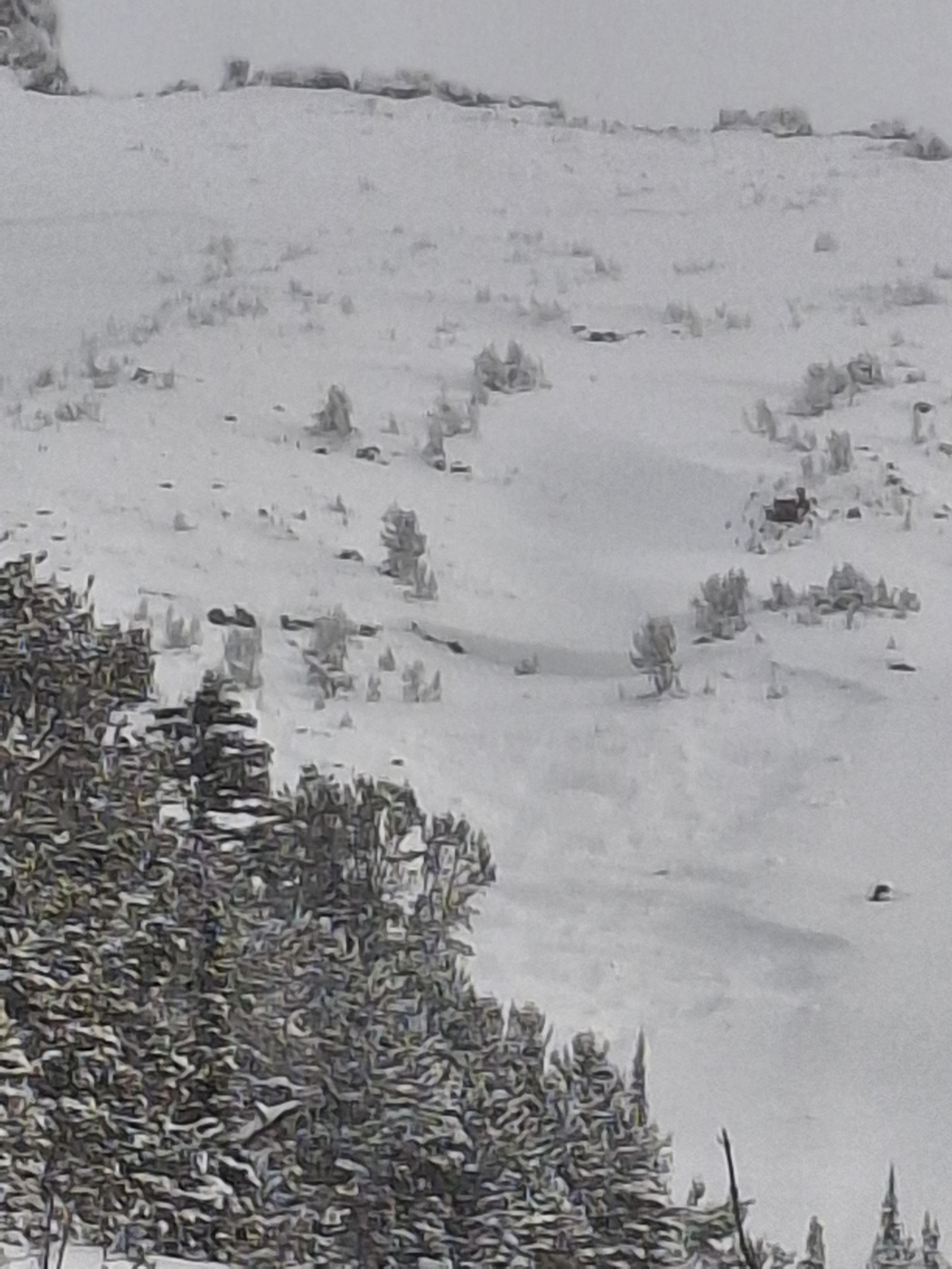
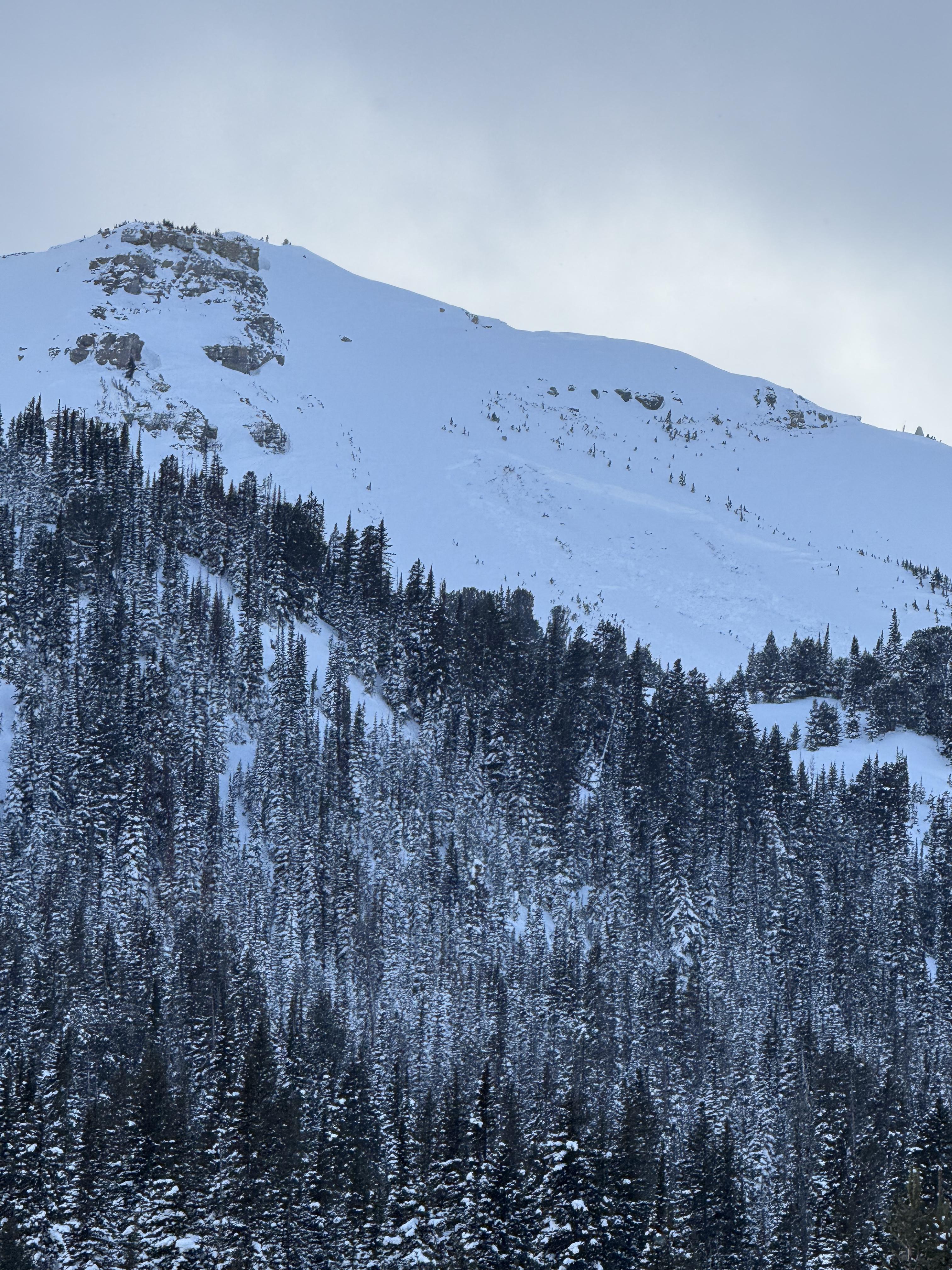
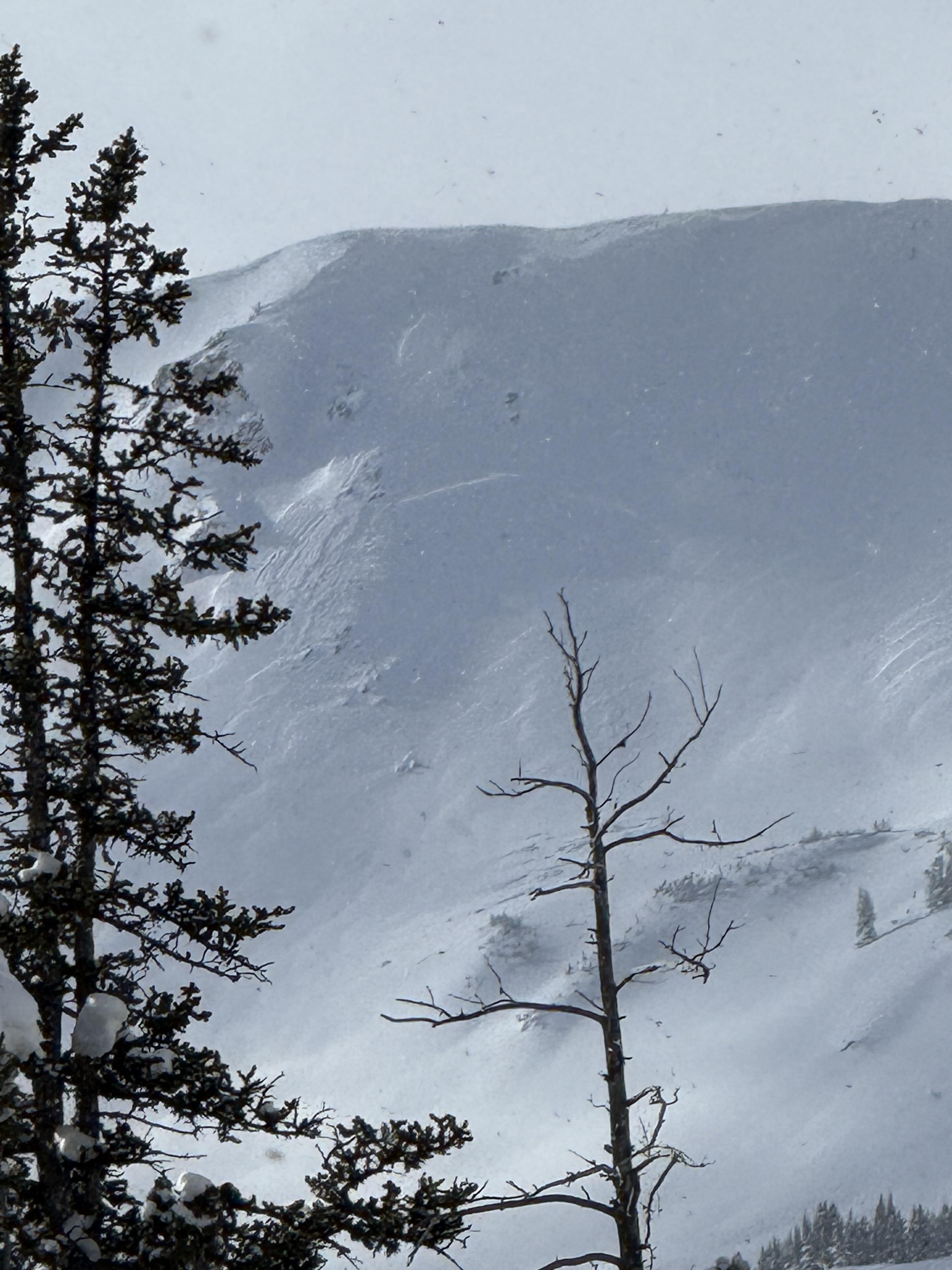
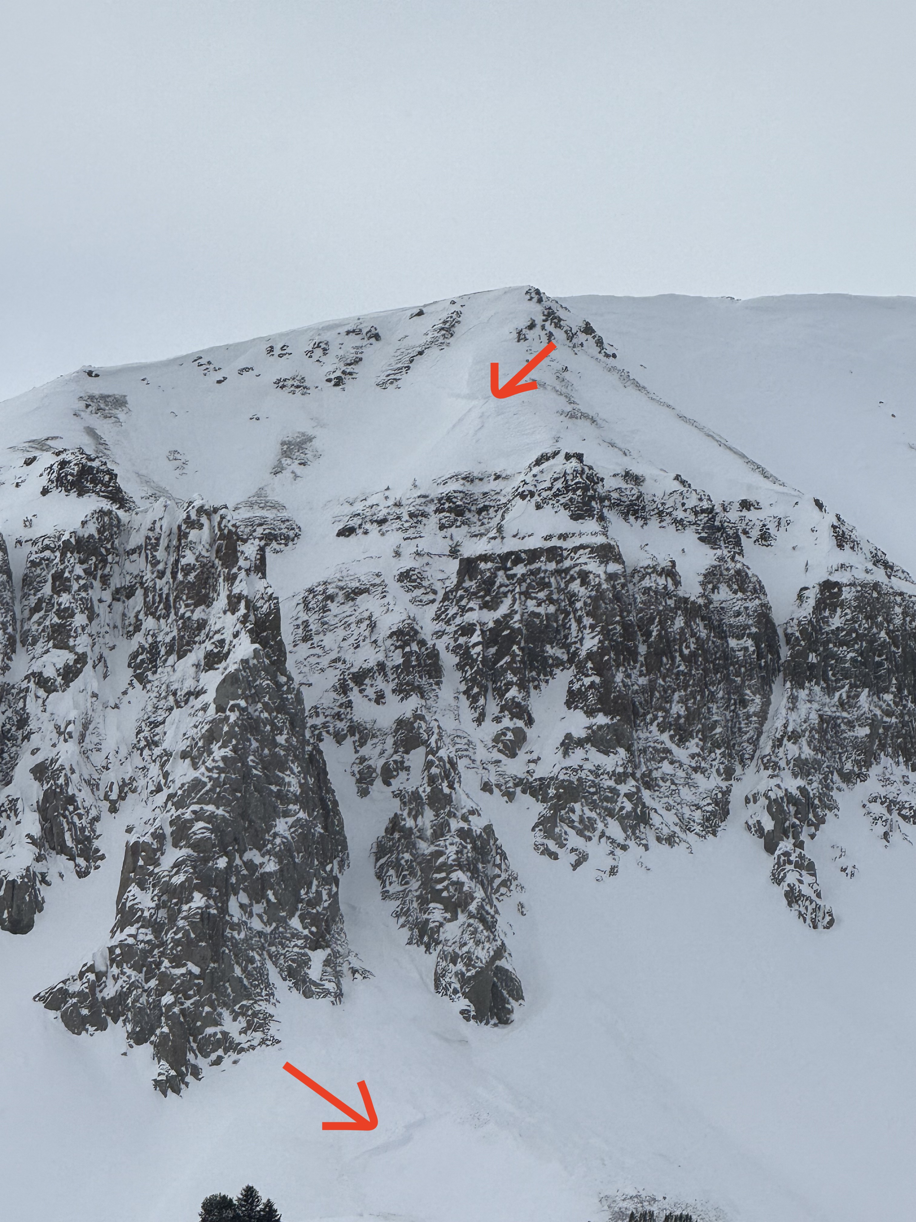
We saw 4-5 avalanche crowns that were up to a week old, some had been reported and a few we had not heard of (3 pictured were previously not reported to my knowledge). One was a 3-4'+thick slab on a rocky heavily wind-loaded slope off Lionhead ridge, and the other two were ~2' deep on less wind affected slopes lower down in the trees, but probably had some previous wind-loading.
Despite no fresh avalanches the last few days, the poor structure and collapses suggest a person could easily trigger a large avalanche that breaks wide on the weak layers at the bottom of the snowpack.
There was evidence of recent winds in the meadows with thick drifts felt while riding and some ridges scoured free of recent snow. Skies were mostly clear and wind was calm today.
Full Snow Observation ReportHeaded out to the throne today. Had light to moderate winds from the west blowing all day long at all elevations. Found heavily wind affected skiing in open meadows and softer snow in the trees. Stayed out of avalanche terrain and found no signs of instability. Snow was visibly being transported all day.
Full Snow Observation ReportToured into the basin NE of Ross Peak this afternoon.
Snow depth in the basin was 115cm. Winds predominantly from the SW.
Light to moderate snowfall throughout the afternoon.
No avalanche activity noted, but much of the ridge line was obscured by clouds.
No collapsing or crack propagation seen.
Full Snow Observation ReportObserved a large avalanche on a west facing slope approx 10000ft, with a higher crown at 10200'. Crown depth 4-6'. HS-Ns-D2-R2-O . Ran 1000ft and into terrain I had previously considered safe.
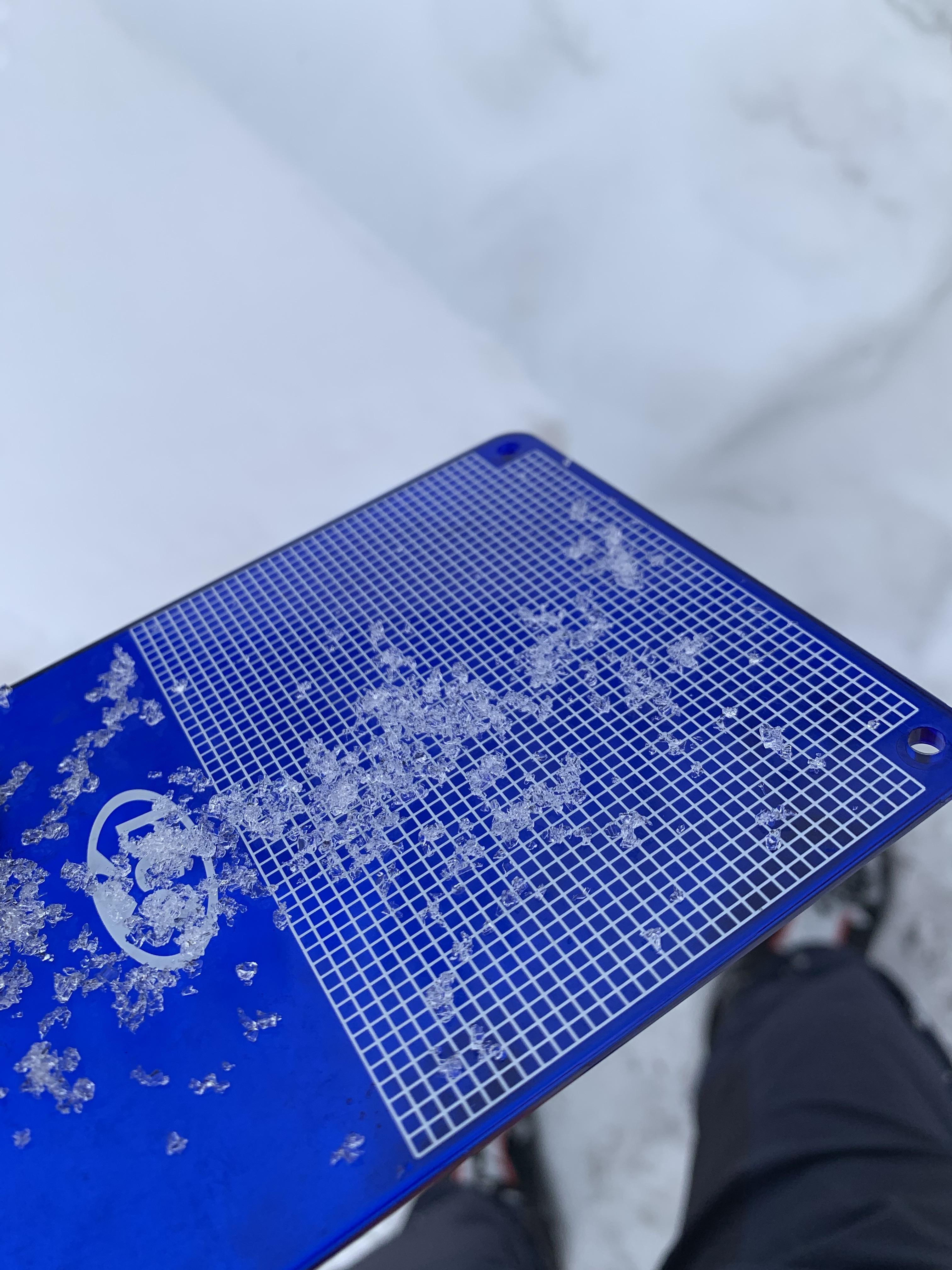
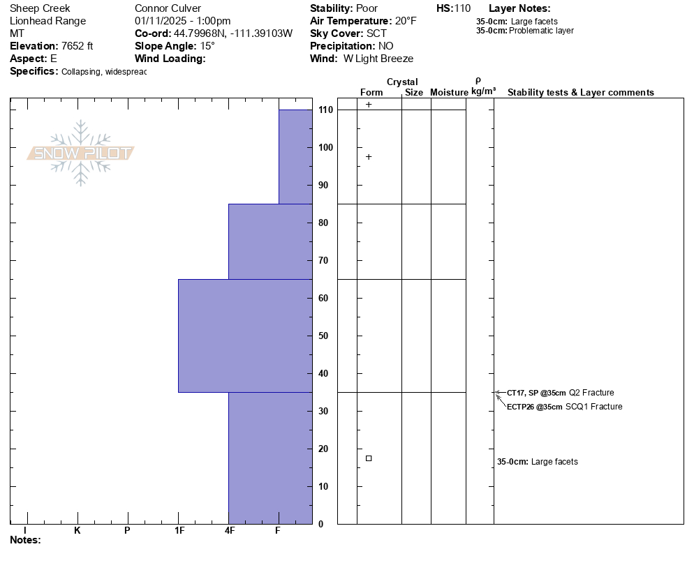
Full Snow Observation ReportToured up Sheep Creek Trail on the West side of the Lionhead Range on 1/11/2025. We heard whoomphing through out our tour in. We stopped counting after 12. Some of these whoomphs seemed relatively far away and very loud. We could not tell if these farther whoomphs were triggered by us. We were the only ones in our location but we did hear snowmobiles in another location near the trailhead. We also felt multiple large collapses on very low angle slopes and skinning across non consequential terrain.
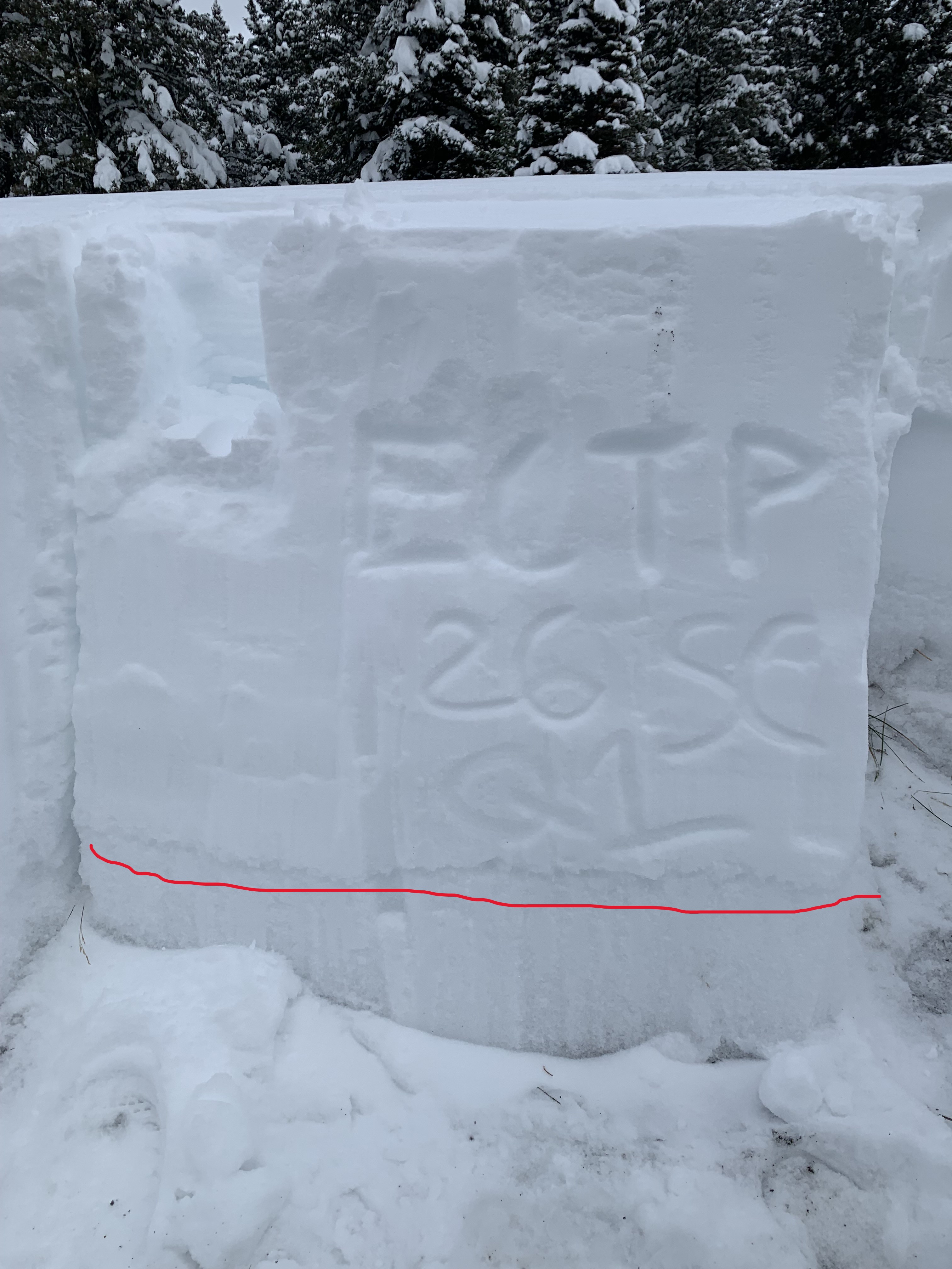
We dug a pit on an East facing aspect below the slope we had planned to ride. The height of snow was about 110 cm and there was a very concerning layer of large facets at 75cm deep going to the ground. There were no other layers of concern in the snowpack we found and the rest of the snowpack was right side up. Our results were CT17 SPQ2 and ECTP26 SCQ1. Bother failures during tests were on the layer of facets and on the CT and ECT our columns easily separated from the facet layer after failure. Due to these observations we opted not to ride our objective and followed our skin track back out to the trailhead.
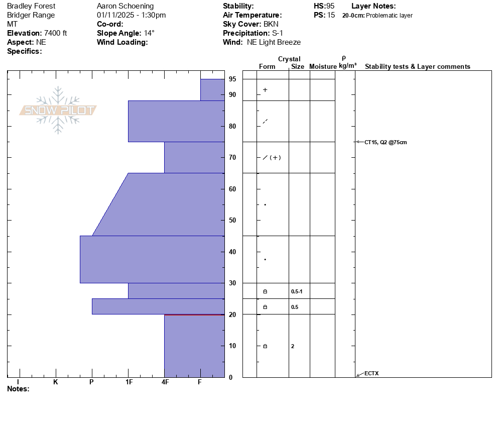
Full Snow Observation Report3x ECTX on NE facing 7,400ft. 15cm of new storm snow. Moderate SW winds with strong gusts. S2 from 11am -1pm, S1 snowfall beginning as we exited the field (1530). Blowing snow observed throughout the day.
Full Snow Observation ReportA few dry loose avalanches on Climax, plus two small crowns. One was older and drifted in. The other was a small, recent wind slab.
Full Snow Observation ReportOvernight it snowed 8 inches of low density at the yurt, and an additional 3 inches today.
No avalanches or cr, co observed. Wind loading observed multiple aspects NTL.
Full Snow Observation Report
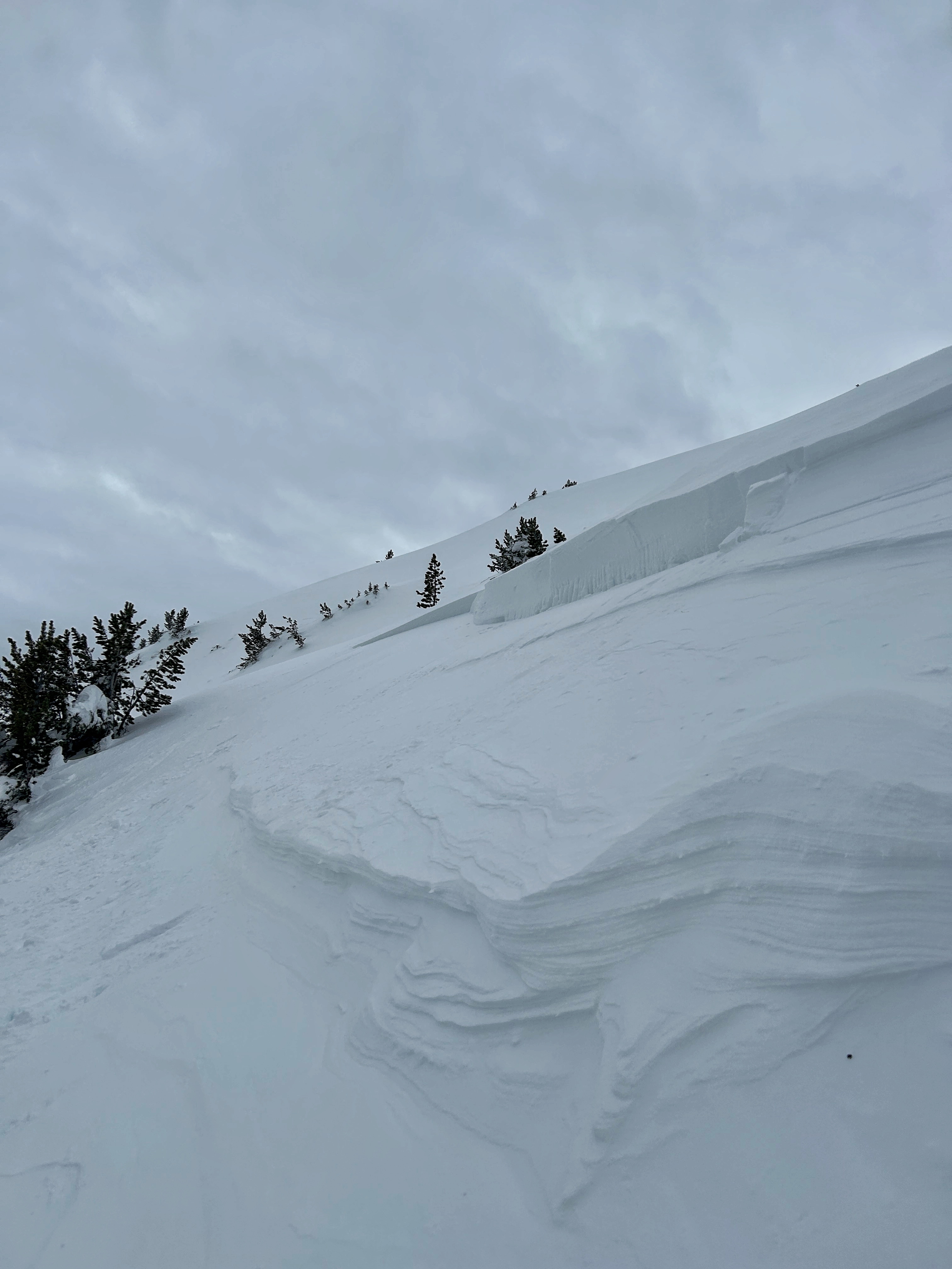
A wind slab avalanche was seen just below Two Top. This appeared to be a natural slide although tracks can be seen above and to the left of the crown. This was on a northeast facing slope that was wind loaded. The avalanche appeared to be fresh after recent snow.
Full Snow Observation ReportWas out with an avalanche class today, strong, swirling mid mountain winds and boottop new snow.
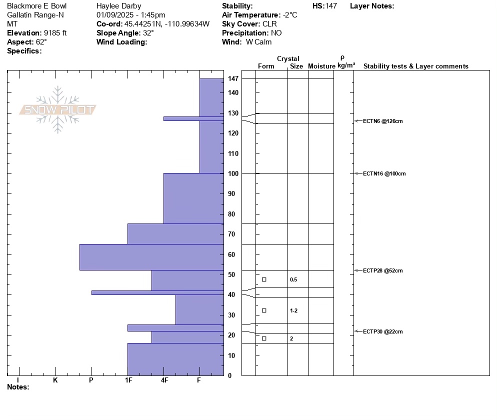
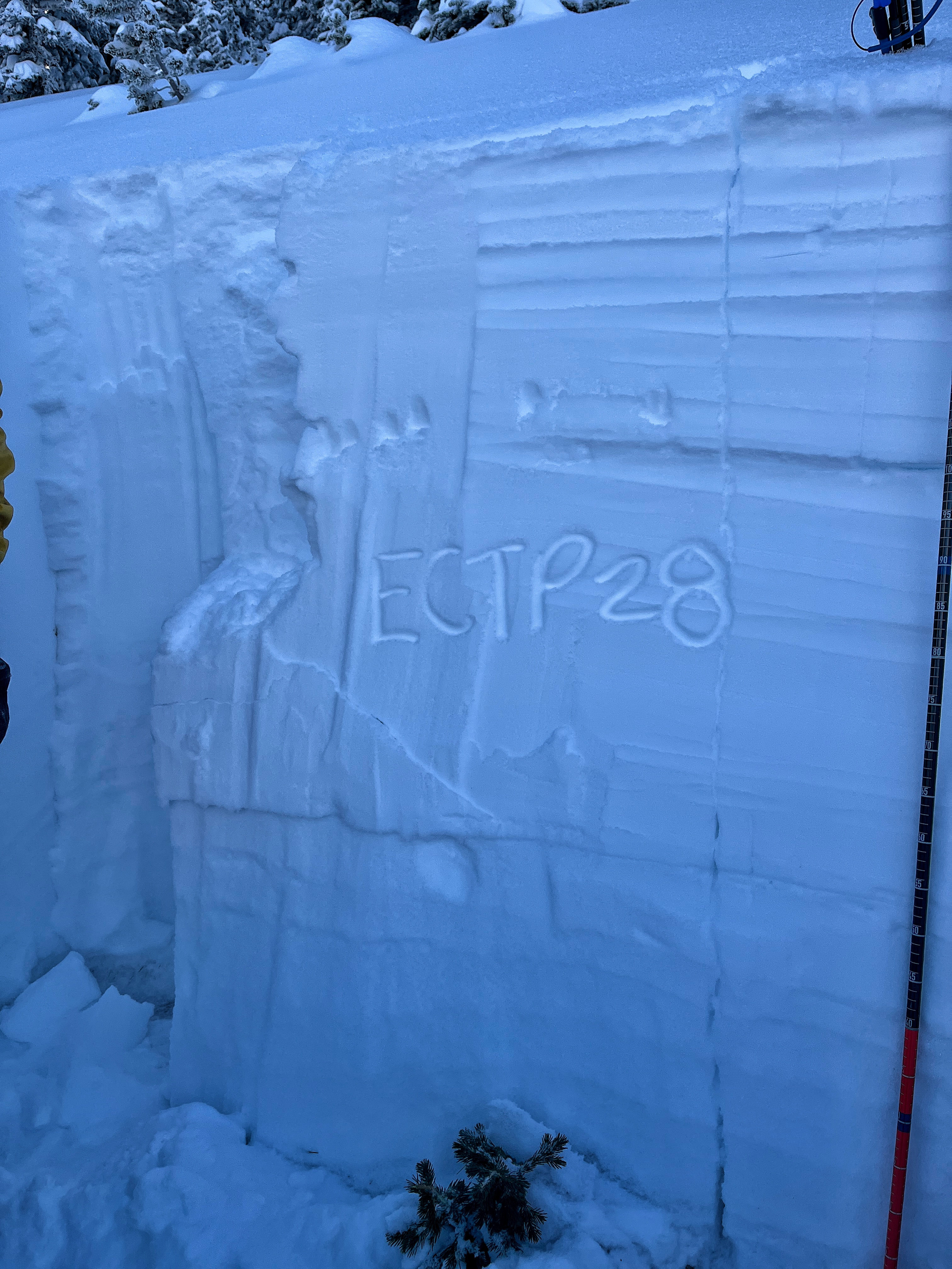
Our group got a small test slope to slide a small pocket of recent wind slab, then dug on an ENE aspect near the top of Bradley's HS 200cm, ETCP28 on that same fresh windslab down 25cm. That area was heavily wind effected from earlier this week.
Around the corner on a more scoured ESE aspect HS 80-90cm the snowpack had 2-3mm wet facets at the ground, ECTP24 10cm off the ground failing in facets.
Skiing was variable, but much improved from yesterday's breakable wind crust!
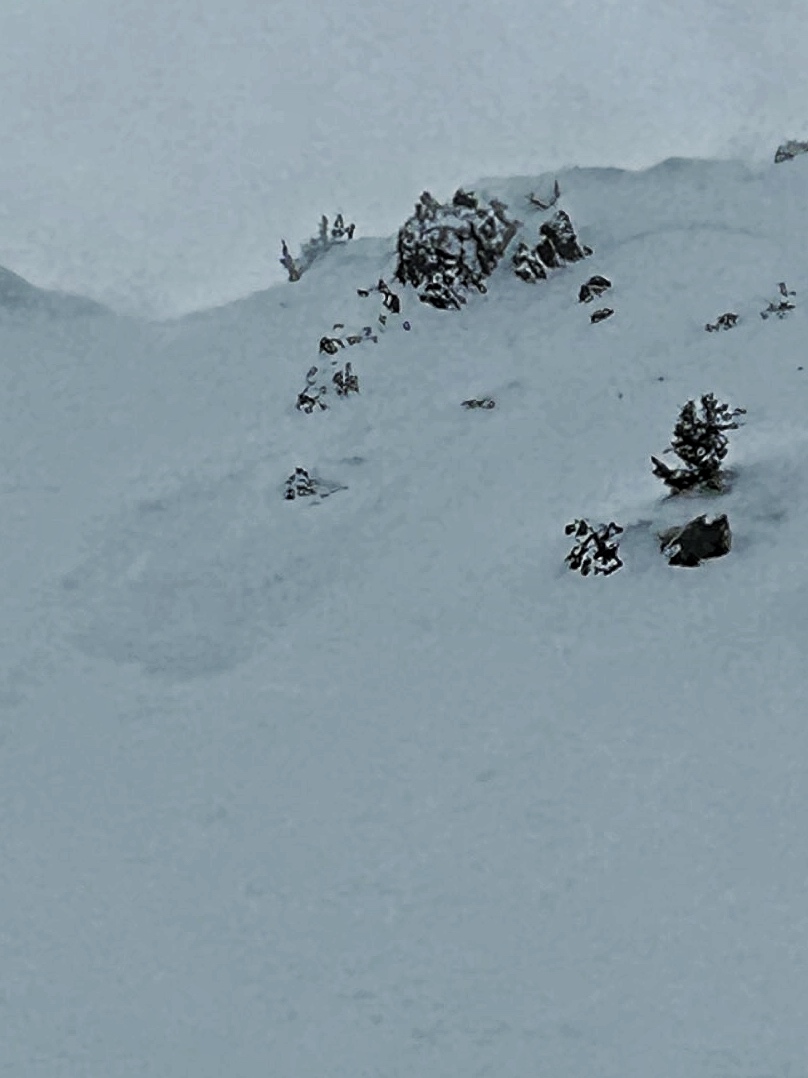
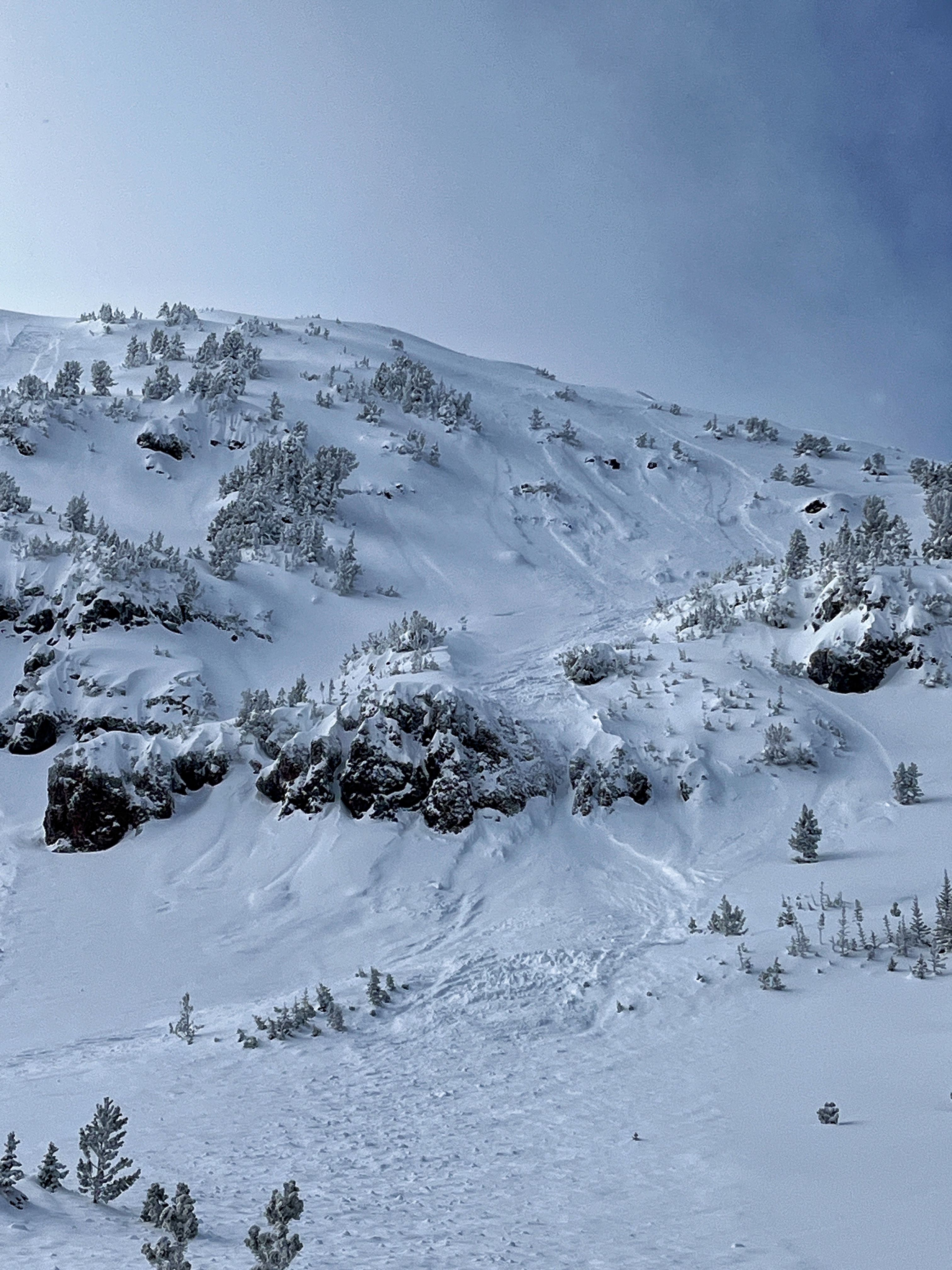
Full Snow Observation ReportProbably already reported...but touchy storm slabs on Mt Blackmore. Attached is a photo of a natural from the approach, at the switchbacks to the upper basin.
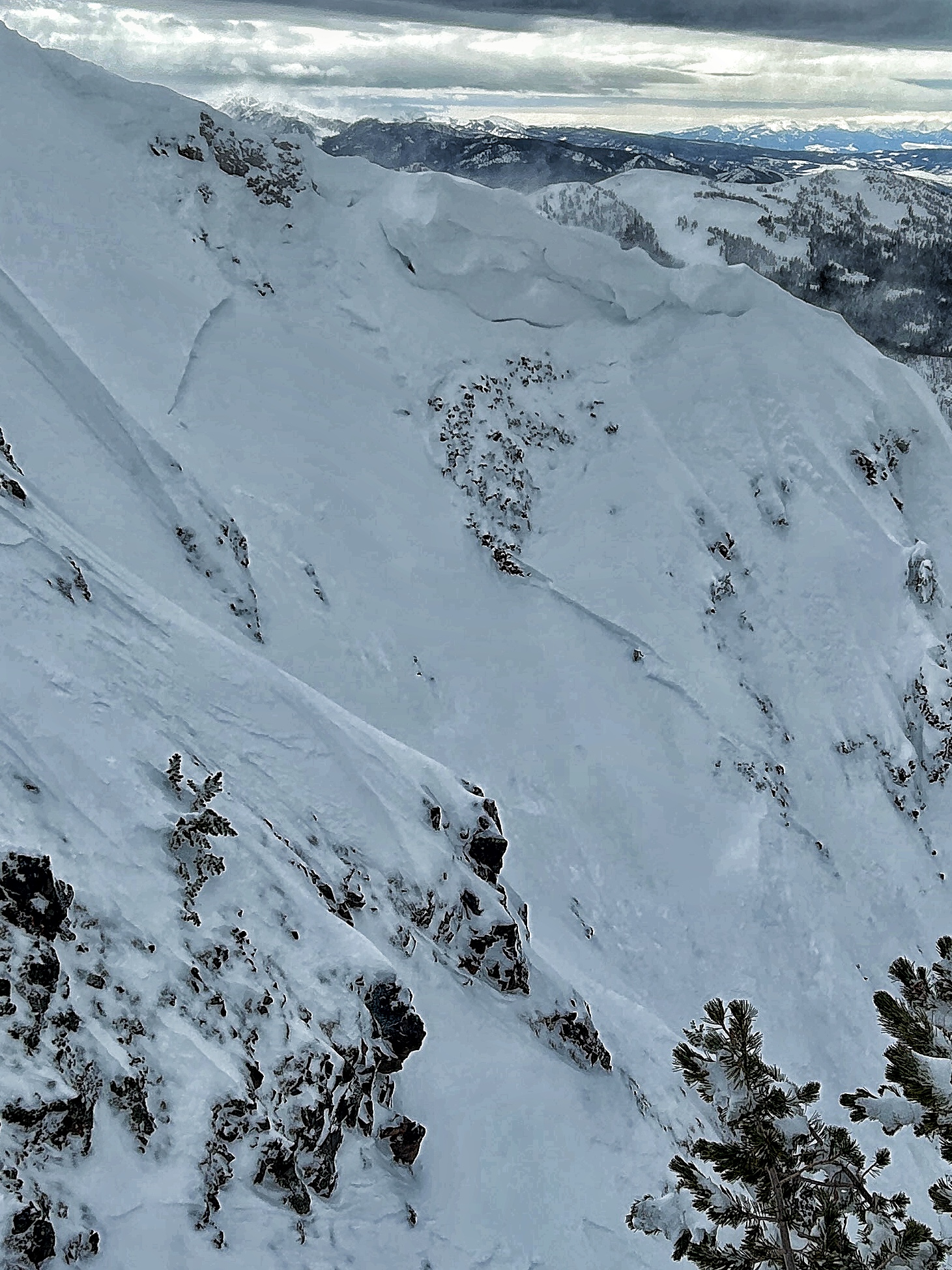
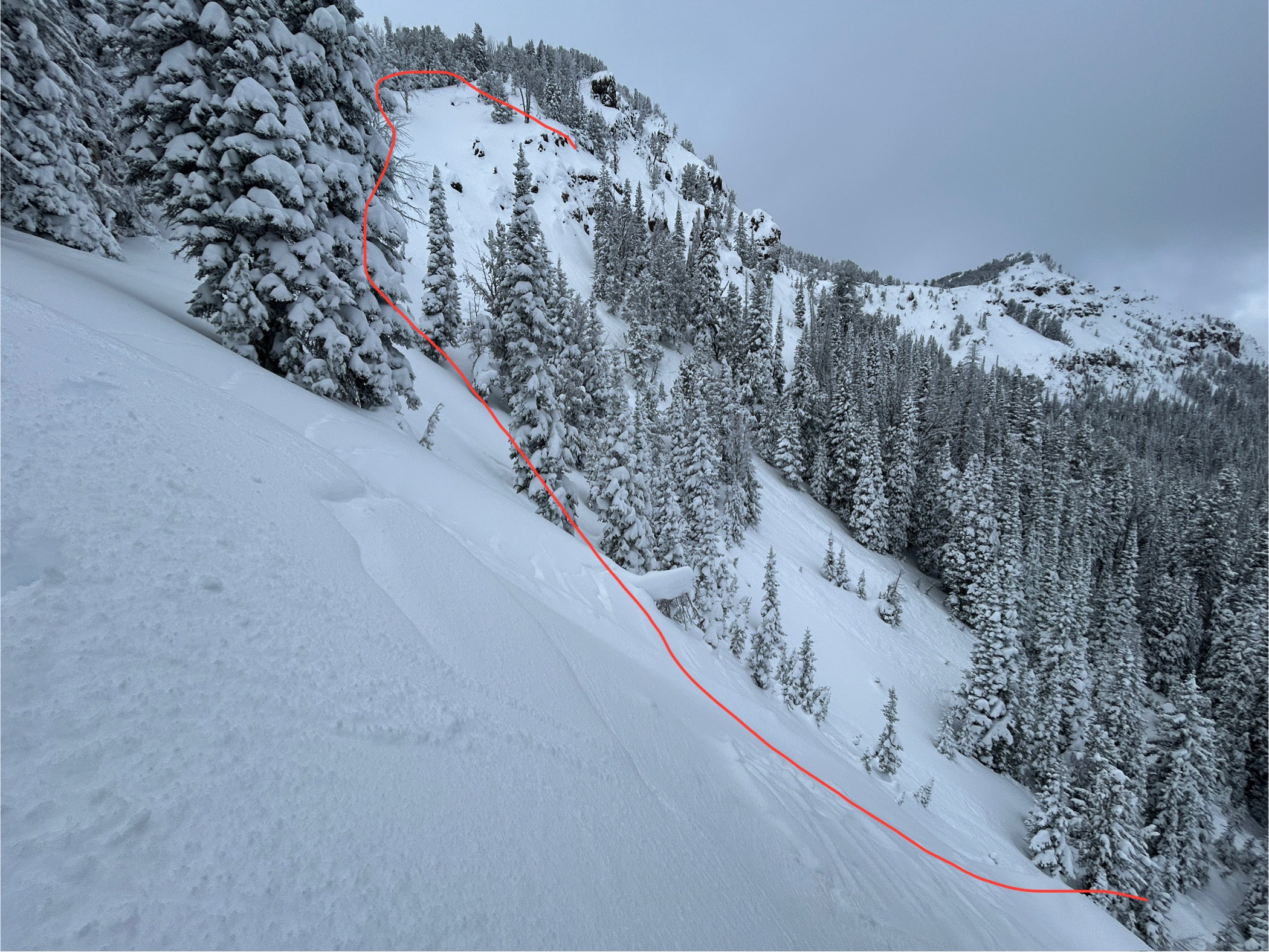
Full Snow Observation ReportSaw a fairly large (could bury a person) slide while heading up to ski on mt Blackmore. It was on a north aspect at around 8700 ft. It seemed to have failed in the recent storm snow, some wind may have made the slab a little thicker. The debris covered a portion of yesterday’s ski track. Higher in the bowl we found unstable snow around ridge lines, with several small loose sluffs coming down.
Full Snow Observation ReportRecent natural avalanche: on an easterly aspect around 9200', on Hardscrabble Peak in the northern Bridgers.
Full Snow Observation ReportThe main story from today was increased wind this morning and intermittently throughout the day. The moderate winds were actively blowing snow out of trees and over ridgelines, drifting snow into thick deposits, and there was evidence that wind had been active at high elevations (>9500'?) the last couple days. Today, winds strong enough to move snow started to reach all elevations. On Henderson bench we noted many thick, dense drifts while riding, and could see the snow surface textured from the wind up higher.
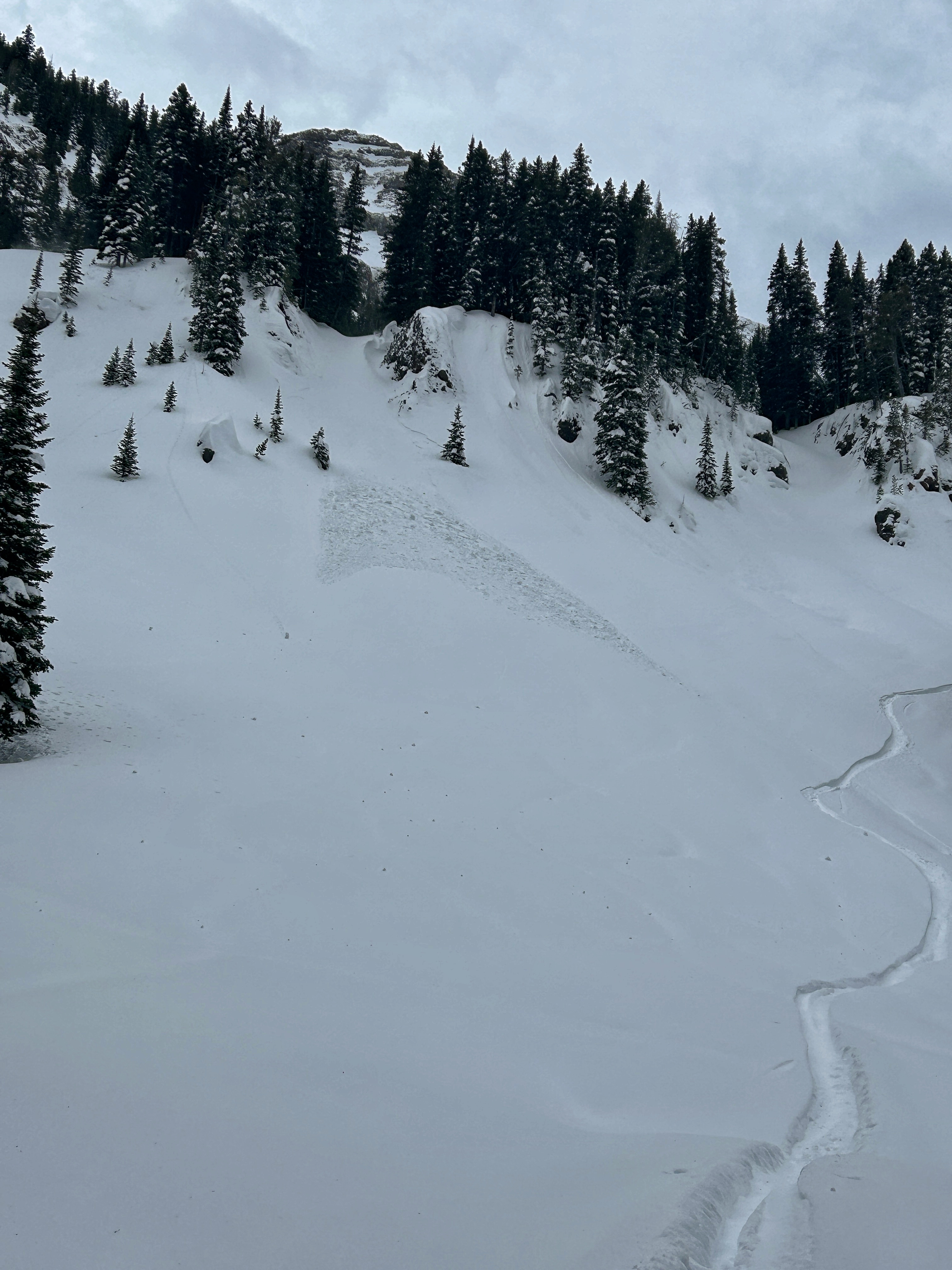
We looked at two 4-6' deep persistent slab avalanches that were reported yesterday on the east side of Henderson Mtn., which likely happened yesterday. Wind-loading was the likely trigger. There were not tracks near the larger one above the bench, where riders could easily get to, but they could have been filled in. The other slide was below the highest point below a cornice and likely natural. Both looked like they broke on facets at the bottom of the snowpack.
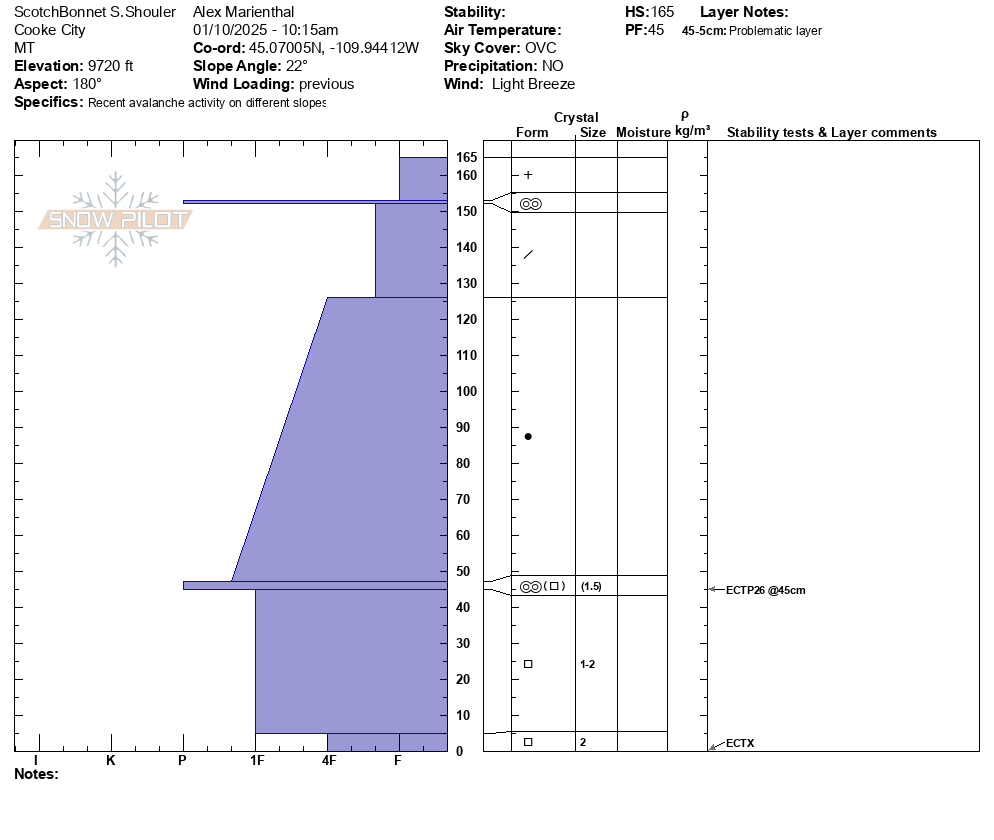
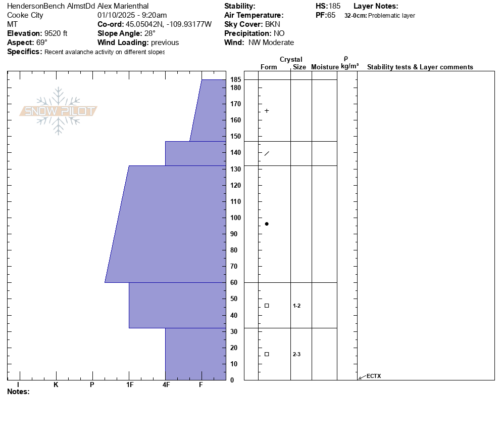
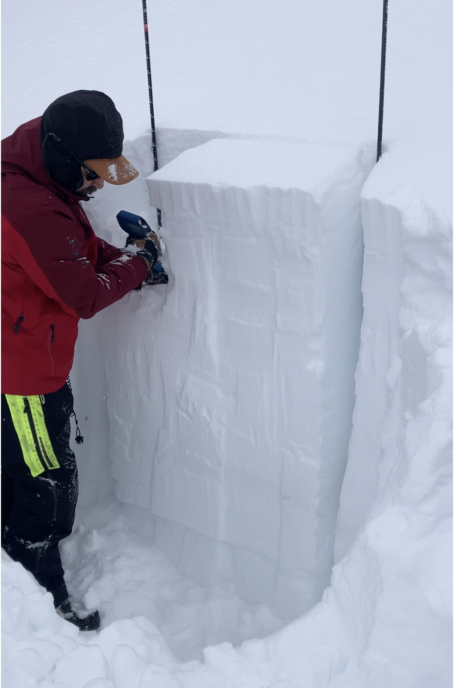
We dug a pit on Henderson Bench on a northeast facing slope, and one on Scotch Bonnet on a south facing slope (profiles attached). Both showed a 4' thick strong slab on weaker, faceted snow at the base. The weak layers are not terribly weak and didn't produce concerning test scores, so they may get better when they get a break from snowfall and wind-loading, but for now recent avalanches show these layers are weak enough and will produce more big avalanches as snowfall and wind continue.
Recent avalanches are clear evidence that the weak layers 1-2 feet above the ground are close to their breaking point. Continued snow and wind this weekend will make more of these big avalanches likely. Fresh drifts are also large due to all the recent snow that is being easily transported into slabs, and pose a significant hazard on their own.
Full Snow Observation ReportWind slabs were the issue today. A lot had changed since Thursday when it was all sunshine and deep powder. Winds picked up and changed the landscape.
We found two small wind slabs that had released on their own, then watched a big one release froM a falling cornice, then triggered a small one (expected).
Overall, winds were the perfect speeds for moving snow which they did all day. Looking south, there was a massive plume coming off Mt Bole.
Side note - temps in the trees were mostly hovering just above freezing. Lots of tree bombs dropping. The snow surface was a little damp by afternoon. Up high, the powder was still great where winds hadn't touched it.
Full Snow Observation ReportAvalanche Activity
We spotted 6-7 storm slabs that failed about 8-10 inches deep. There were 3 on the East face Blackmore, 1 on the north face, 1 on north facing flank, and 1 notable one in a steep below treeline cirque ENE facing (this one broke ~400 ft wide). A possible 7th was down the Fox creek drainage. It seemed a bit random where they happened and didn't. They likely occurred sometime late yesterday afternoon during snowfall and high winds. This instability should be mostly stabilized by tomorrow.
We didn't see any avalanches that broke deeper in the snowpack
Other signs of instability
no collapsing or cracking
Skiing/riding quality
5 star deep powder and hard trailbreaking, aka trenchtown
Snowpack
We had limited time and only dug one snowpit (attached profile image). We'd like to go back and poke around in some shallow rocky areas. Pit attached. General impression is that it is very deep, and mostly strong. The Shower Falls SNOTEL is at 124% of median swe.
Early December facets have gained a lot of strength, and stability is moving in the right direction. With so much new snow (and more coming Friday/Saturday), I worry about finding a trigger point in a thinner area and then causing an avalanche to break widely into deeper areas. After the Fri/Sat storm if no more snow or wind come for a little bit of time, stability should improve very quickly
Note
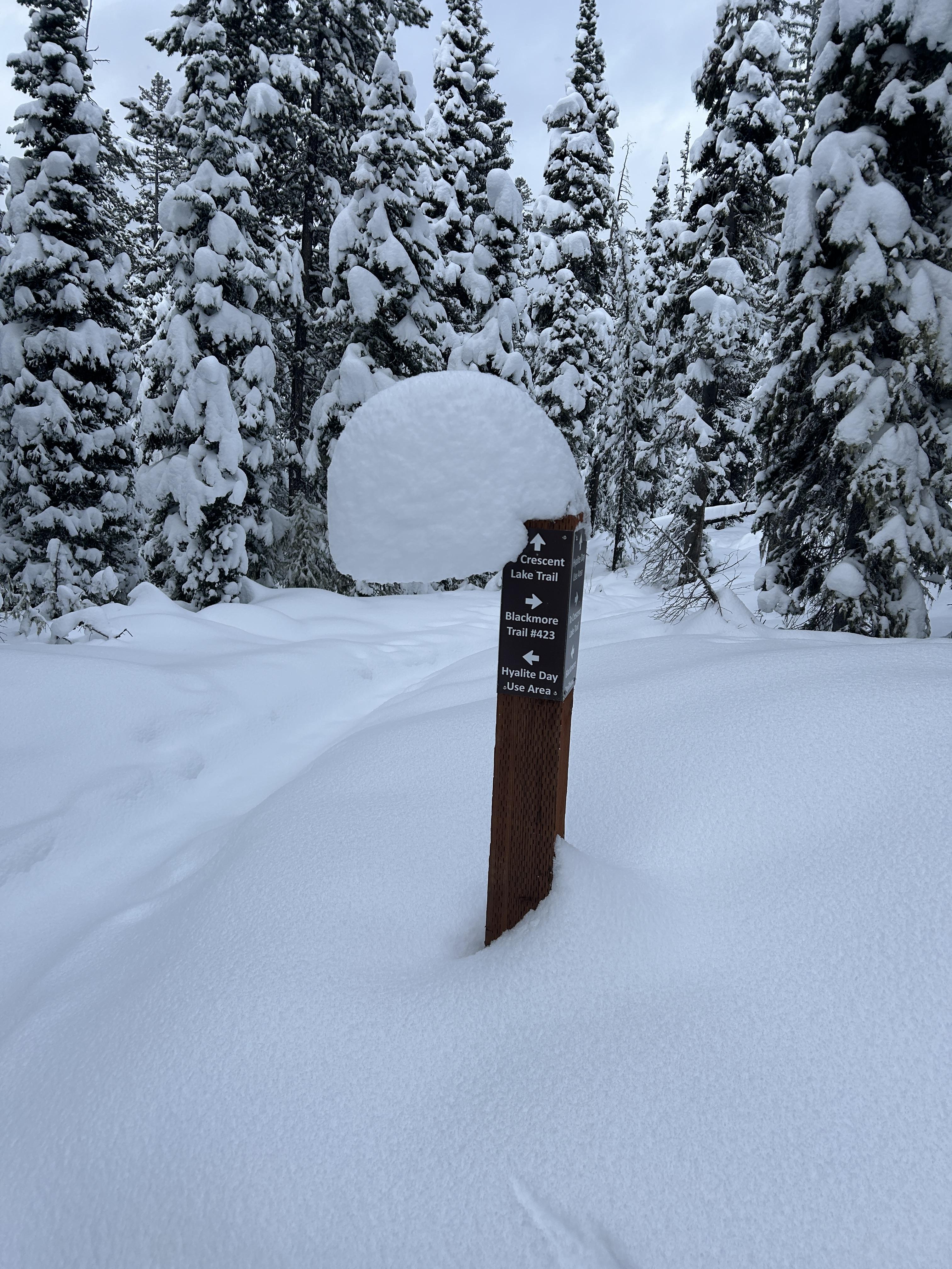
The photo of snow on the sign post really shows how snowfall has been steady, slow, and non-stop. My hunch is that initially snow piled up on top of the post. Then it began to sag (or creep) to one side but slowly enough to not break. With each storm a little more snow was added and the pile of snow crept more to the side. Cool.
Full Snow Observation ReportWent snowmobiling north of Cooke City today near Round Lake. I saw about 20cm of new snow. I also saw some avalanches. There were a couple on E Henderson, one that I think happened today, a few on E Sheep Mountain, some shallower avalanches, and plenty of loose dry snow moving around in the steeps. Here are some photos. Some looked like they were from today, some are older. Lots of evidence of wind from the past day or so.
Full Snow Observation Report
