Snow Observations List
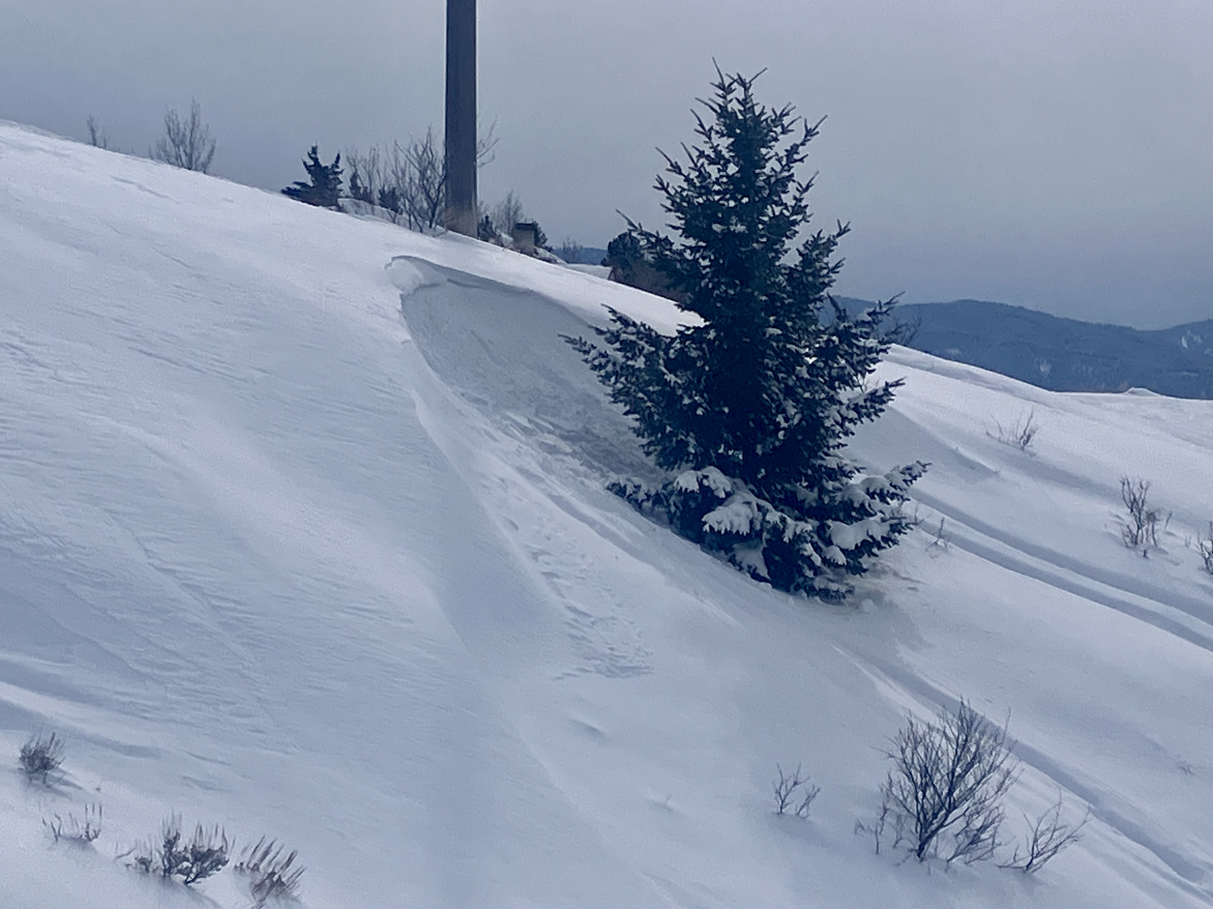
No wind today, but recent loading
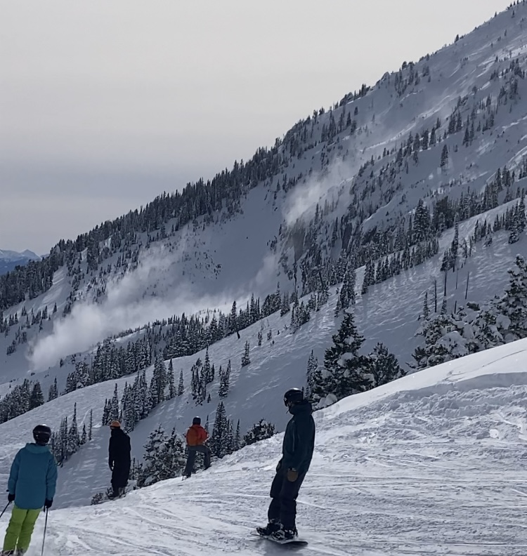
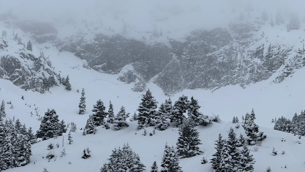
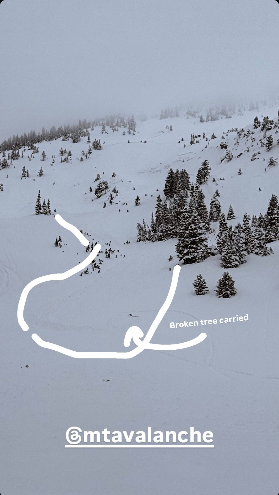
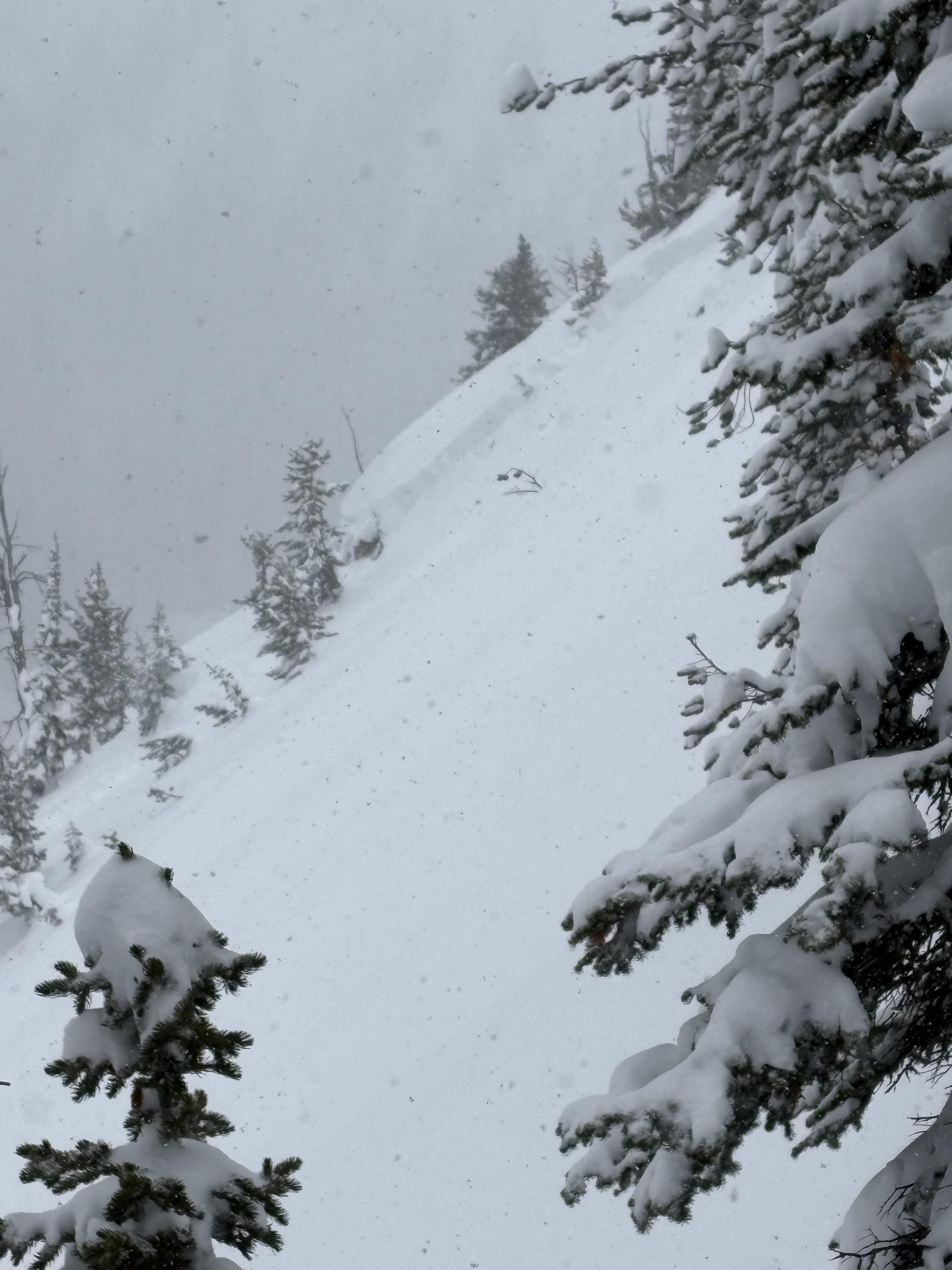
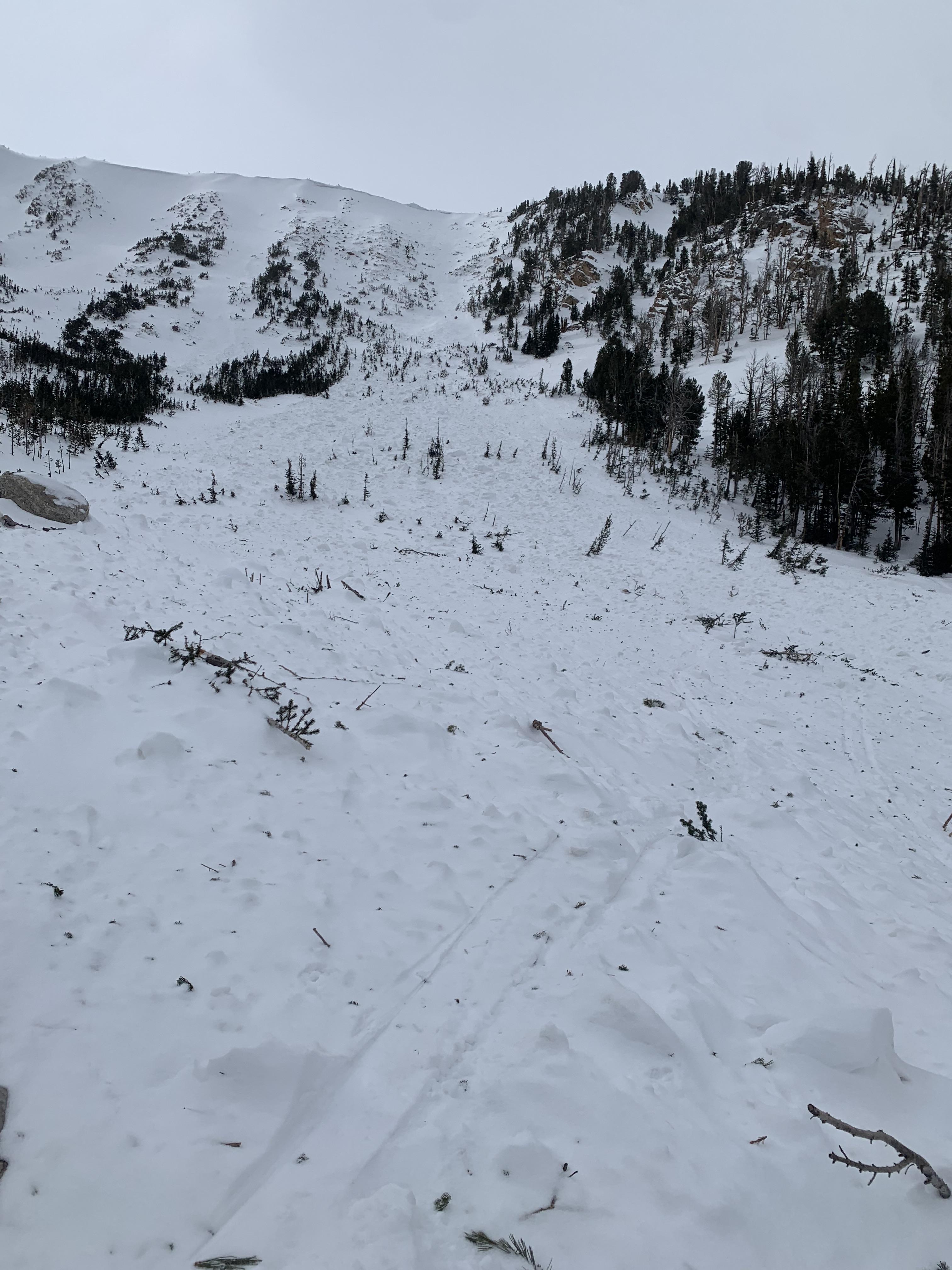
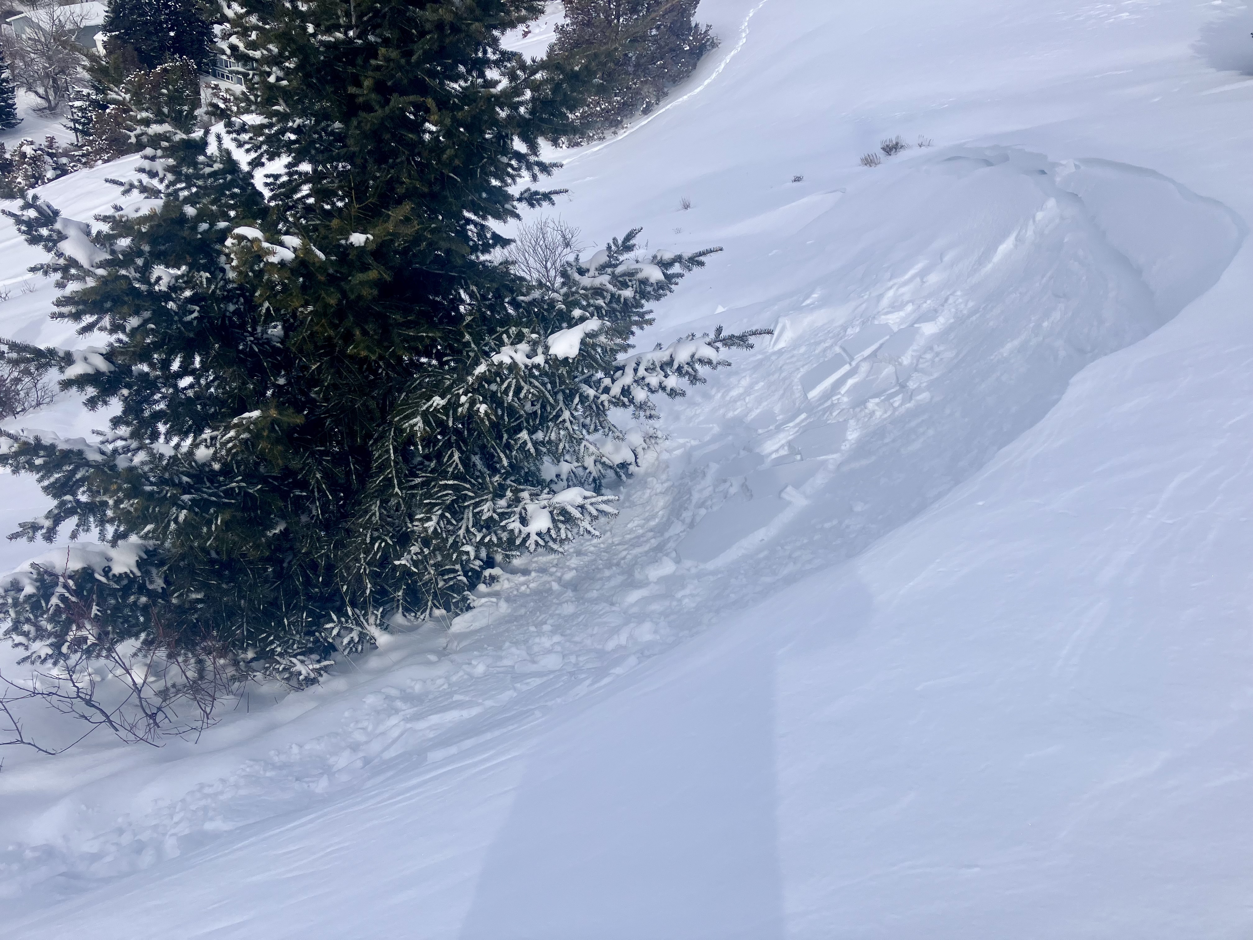
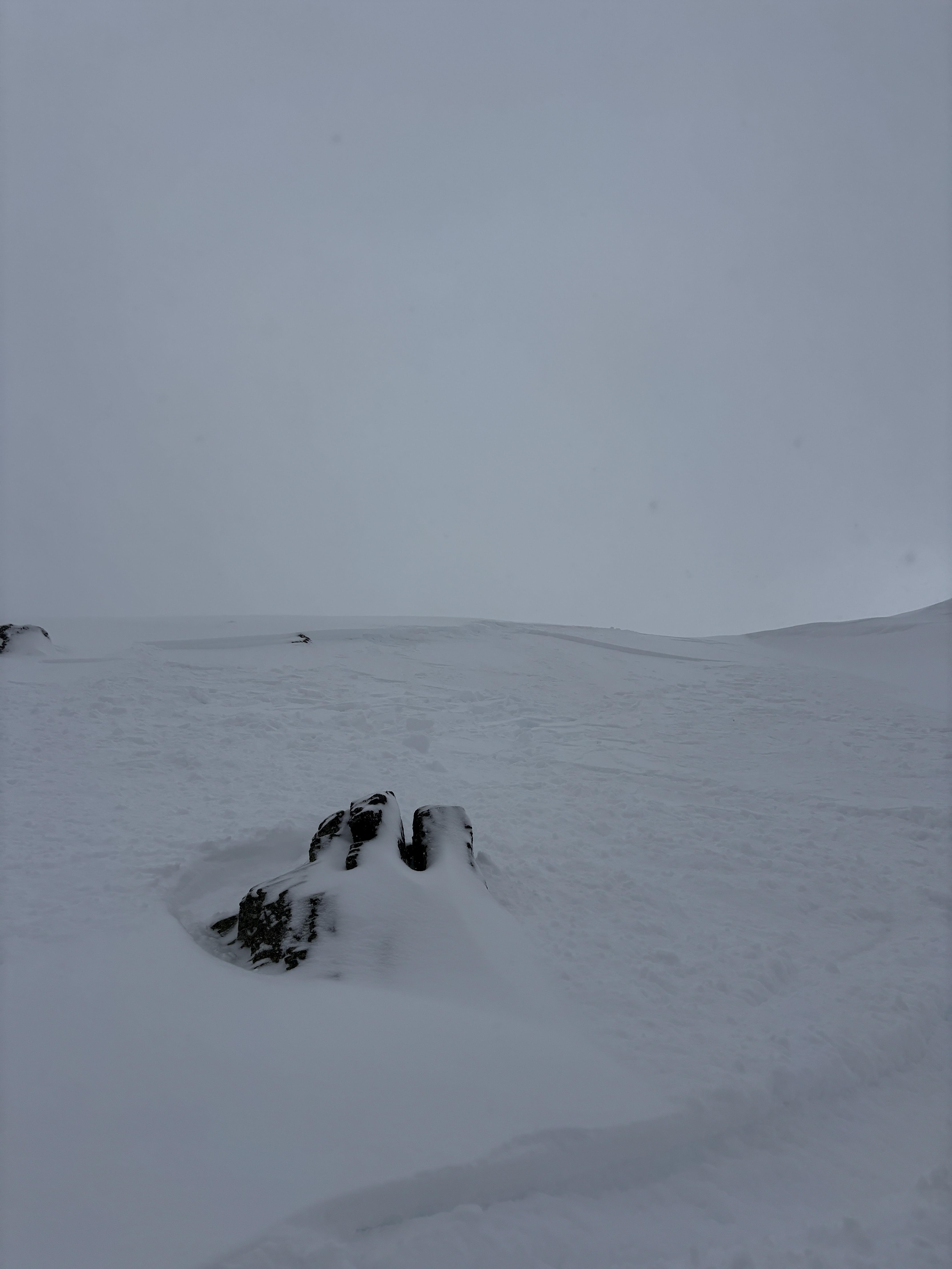
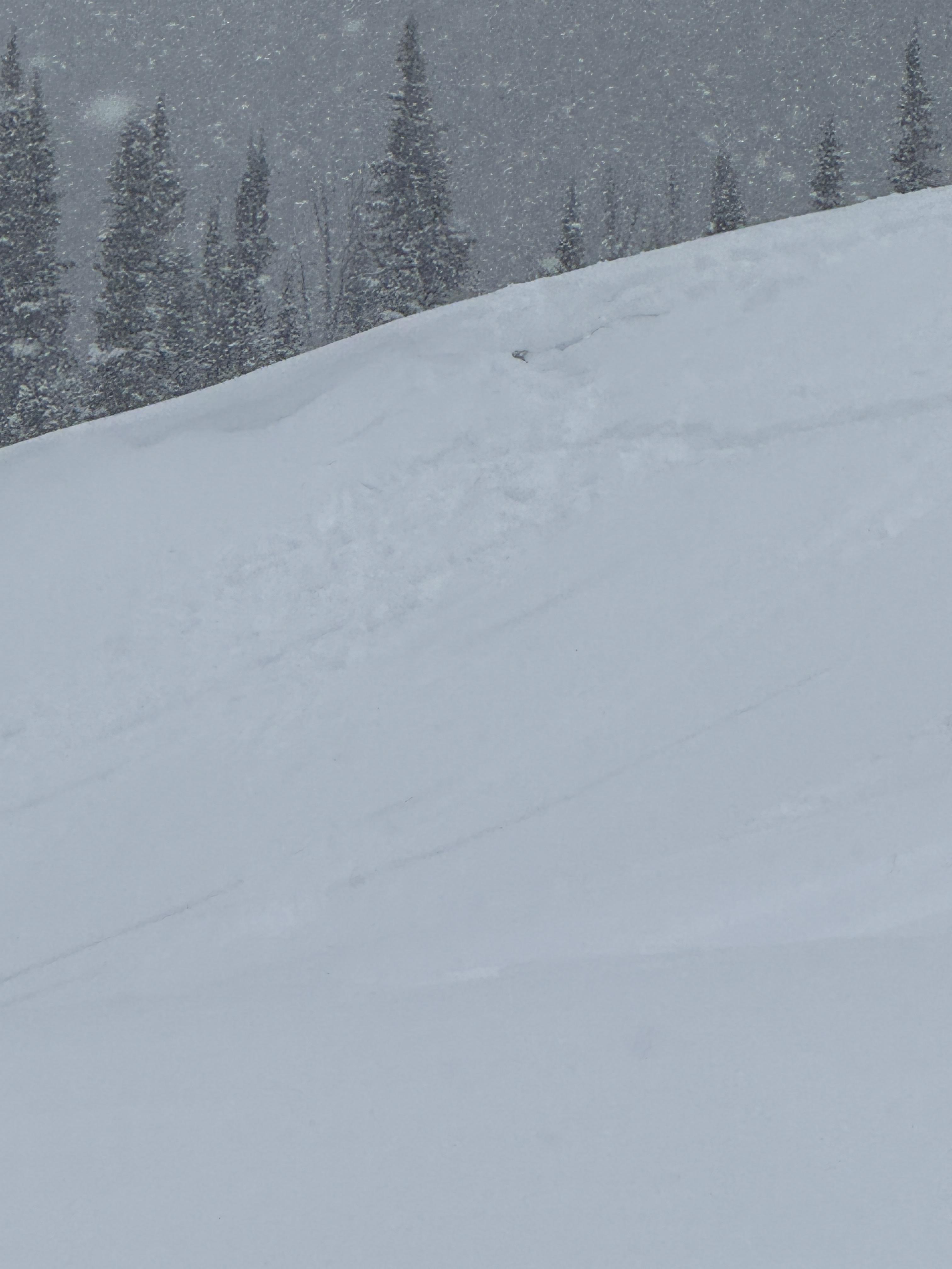
Note from BB ski patrol - skiers triggered a medium sized cornice fall that triggered a dry loose (sluff) avalanche that created large powder cloud.
Full Snow Observation ReportFrom IG - "Toured out to Frazier Basin and turned around seeing widespread avalanches and active wind loading. Despite our pits on the Throne the day before showing no weak layers, the amount of wind loading and potential for slabs over density changes gave us pause. Good skiing and sledding down low."
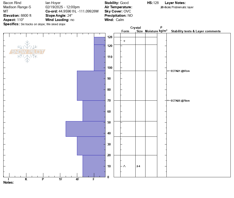
Full Snow Observation ReportSkied up the southern of the two typical Bacon Rind skintracks (through the more heavily burned area to the upper meadows). Saw no signs of instability (no cracking, collapsing, or recent avalanches).
Dug a pit on an E aspect at 8800 ft in one of the upper meadows. 128 cm snow depth. No propagation in an Extended Column Test. There is weak snow at the ground, but it isn't super well developed or very weak (4 Finger minus hardness).
No wind affect where we traveled today.
Full Snow Observation ReportMODERATE on the non-windloaded slopes we saw today seemed right on.
We got lucky in the Centennials with great snow and good visibility. There was about 20" of new snow from this weekend's storm. We covered 35 miles of backcountry riding and got eyes on a lot of avalanche terrain from lower elevation slopes, to Jefferson Bowl, the terrain in and above Hellroaring Creek, and East Hotel Creek. We didn't see any avalanche activity. However, we observed shooting cracks in drifts and triggered small wind-loaded slopes and cornices. So, human-triggered avalanches on wind-loaded slopes are likely.
We dug three quick pits but prioritized getting eyes on terrain over in-depth snowpack analysis:
Low-elevation slope on Sawtelle - NE @ 7600' on a slope with no wind effect: ECTX in a 160 cm deep pit
Above Hellroaring - S @ 8400' on a wind loaded slope: ECTP1 6" deep (wind slab) and ECTP21 20" deep (wind slab)
Arange - SW @ 8700' non-wind-loaded slope: ECTP21 20" deep on facets below a melt-freeze crust
Travel Advice:
- Avoid wind-loaded slopes
- While stability on non-wind-loaded slopes seemed good, it snowed a lot. So, I would either carefully assess for instability in the upper 3 feet of the snowpack with an ECT , or I would give it a few days to settle out before getting on steeper, non-wind-loaded slopes.
The danger was CONSIDERABLE on wind-loaded slopes (human-triggered avalanches likely) and MODERATE in non-wind-loaded terrain (human-triggered avalanches possible).
Full Snow Observation ReportDeep snowpack in the Crazy Mountains and seemingly strong. It seems that the snowpack in the Crazies is typically weak, shallow, and sketchy. This year the snowpack is quite deep - crazy!
We saw one soft, storm slab and a few sluffs. We didn't get onto slopes steeper than 30 degrees, but we felt ok traveling in runout zones which says a lot.
Winds were drifting some snow in the alpine but otherwise mostly calm. Tons of snow available for the wind when it finally picks up
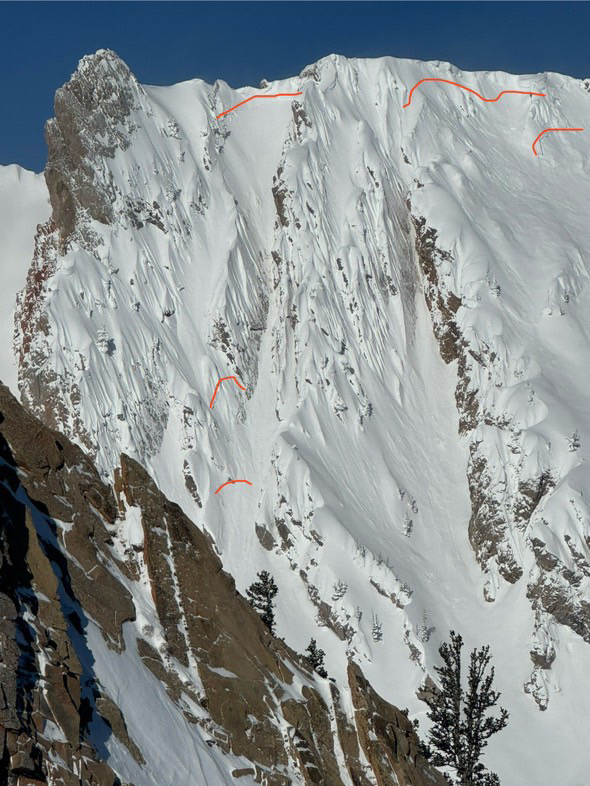
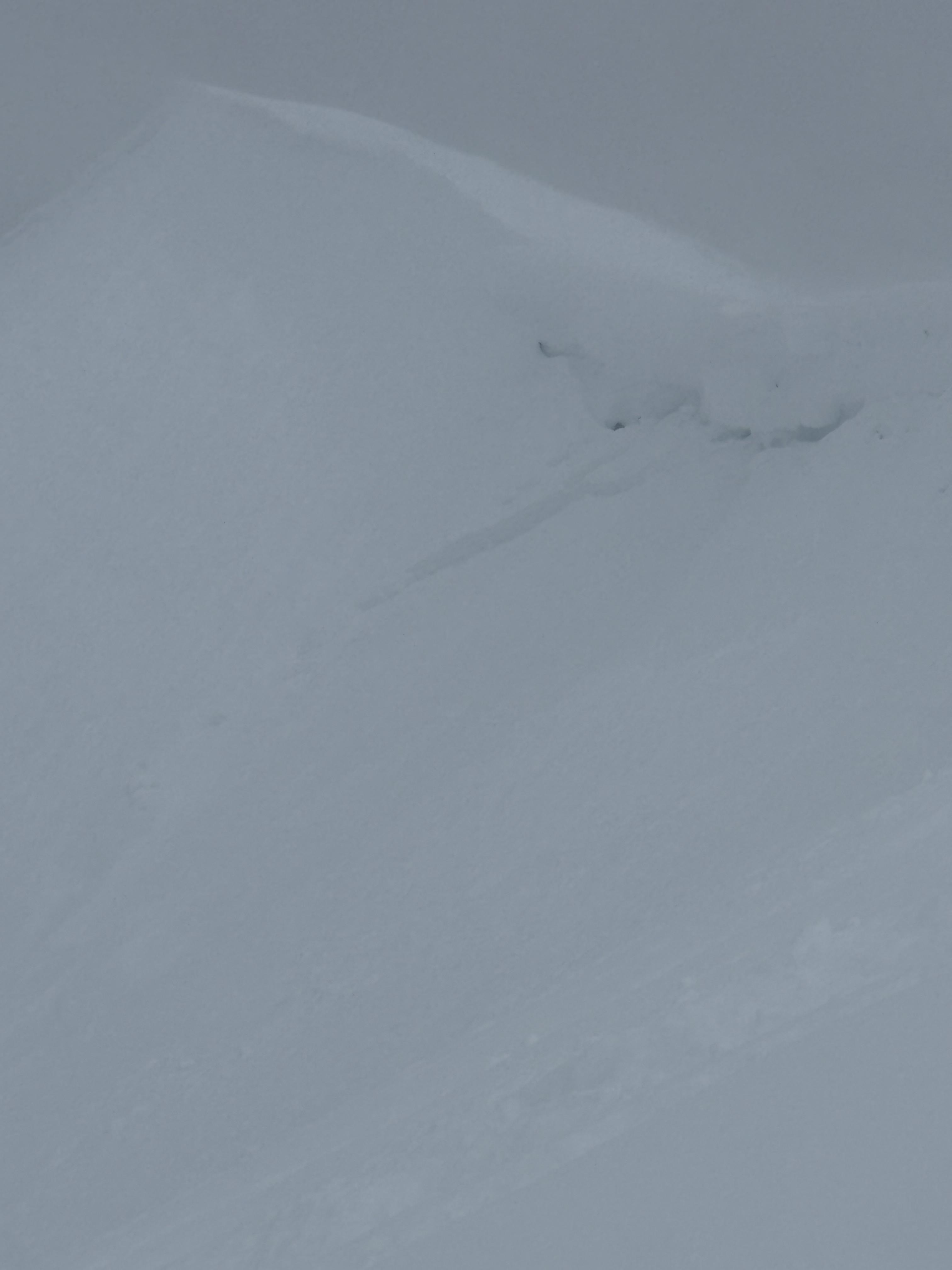
Full Snow Observation ReportCornice broke in between north and south saddle peaks. The initial propagation width was hard to distinguish. Maybe 50 feet. About 18 inches deep at height of crown.
Skied down Rocky Rib and then into south east facing trees that follow the path. At the Argentina/ Shushmans traverse elevation there was a visible 2 foot wall and the slide had continued over the roll below.
Full Snow Observation Report
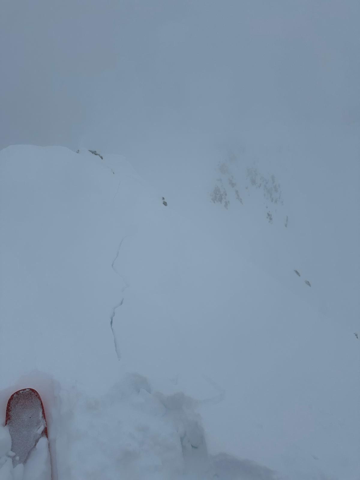
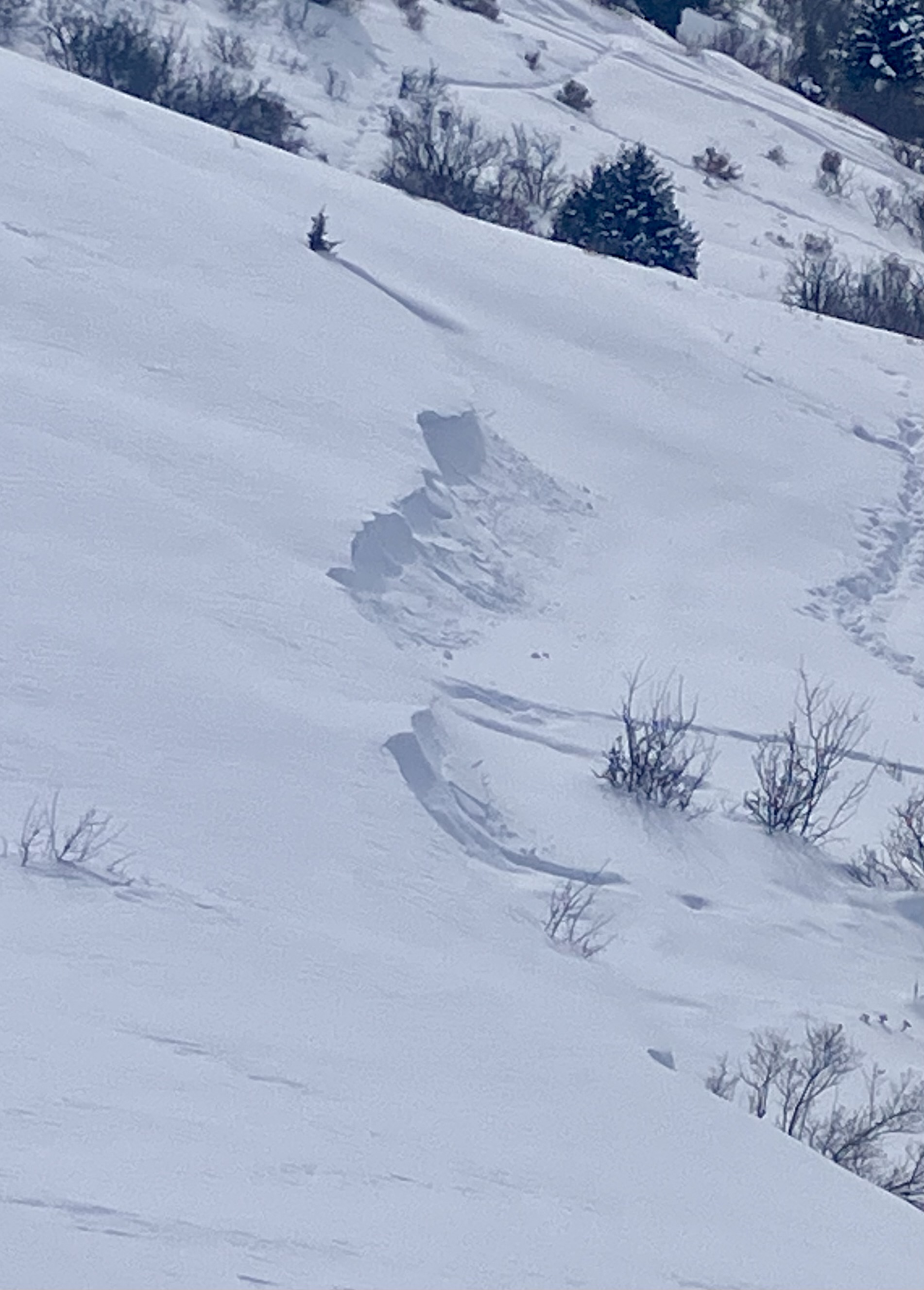
Cohesive wind slabs roughly 1 foot deep were triggered between middle peak and the going home chute on the northeast aspect. Upon skiers weight shooting cracks traveled roughly 100 feet to trigger a small avalanche. The size was small as only the top 50 feet of the slope slid but the snow from the avalanche carried down the entire face.
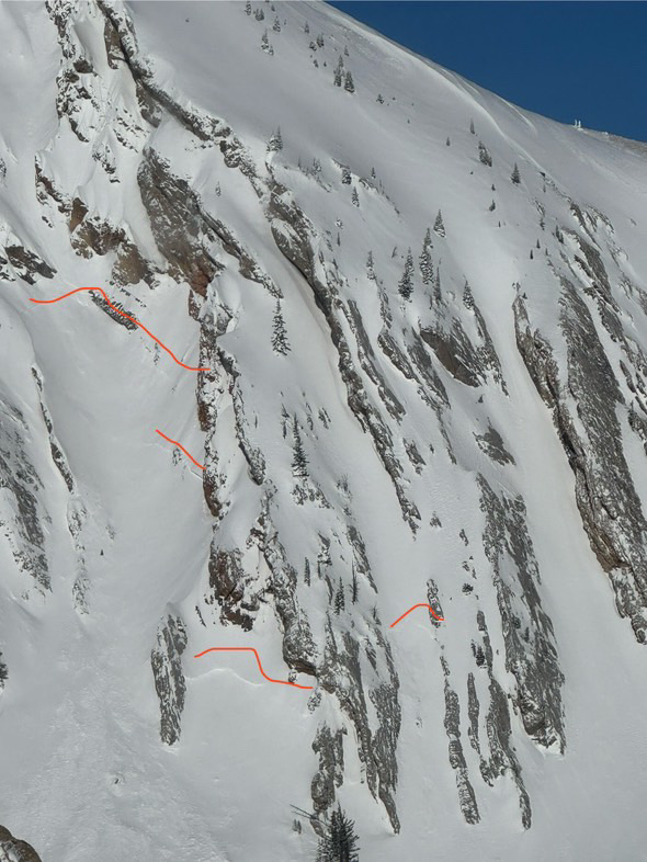
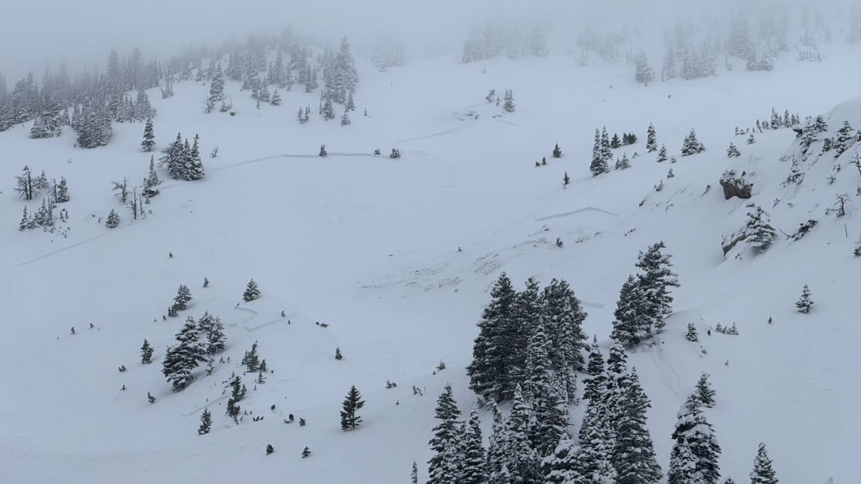
Full Snow Observation ReportFrom IG: 3 separate natural slides viewed south of the throne today. All east facing. This was the biggest.
If this is R3 others were more R2
At 16:10 I arrive at the sumit of Ellis. The wind was Westerly 0-5mph. I planned to ski the South Face of Ellis and then come up and ski the typical East face slides back to the car. The south face was skied on Saturday and I was told there was a stout melt freeze crust with roughly 6 inches of new snow. I was also told it was skied out after 4 skier had skied the face.
From the summit I make 2 ski cuts to safe spots. The snow was unreactive, but it was wetter/ denser than expected. There was 6-8 inches of new snow. Roughly 150-200 vertical feet down the face I bailed. Wind affected snow was becoming widespread and I noticed the new snow falling at the apex of my turns (storm slabs). The new snow was thinner, 4-6 inches and the crust was very noticeable. In tight trees I transitioned and skinned over to east face. Skiing through newly formed wind slabs there were small shooting cracks (not particularly energetic) that extended roughly 10 feet. Wind slabs were up to 2 feet deep. The melt freeze crust was easily breakable in some places and unbreakable in others.
Long winded, but the new snow and wind loading lined up exactly with the forecast.
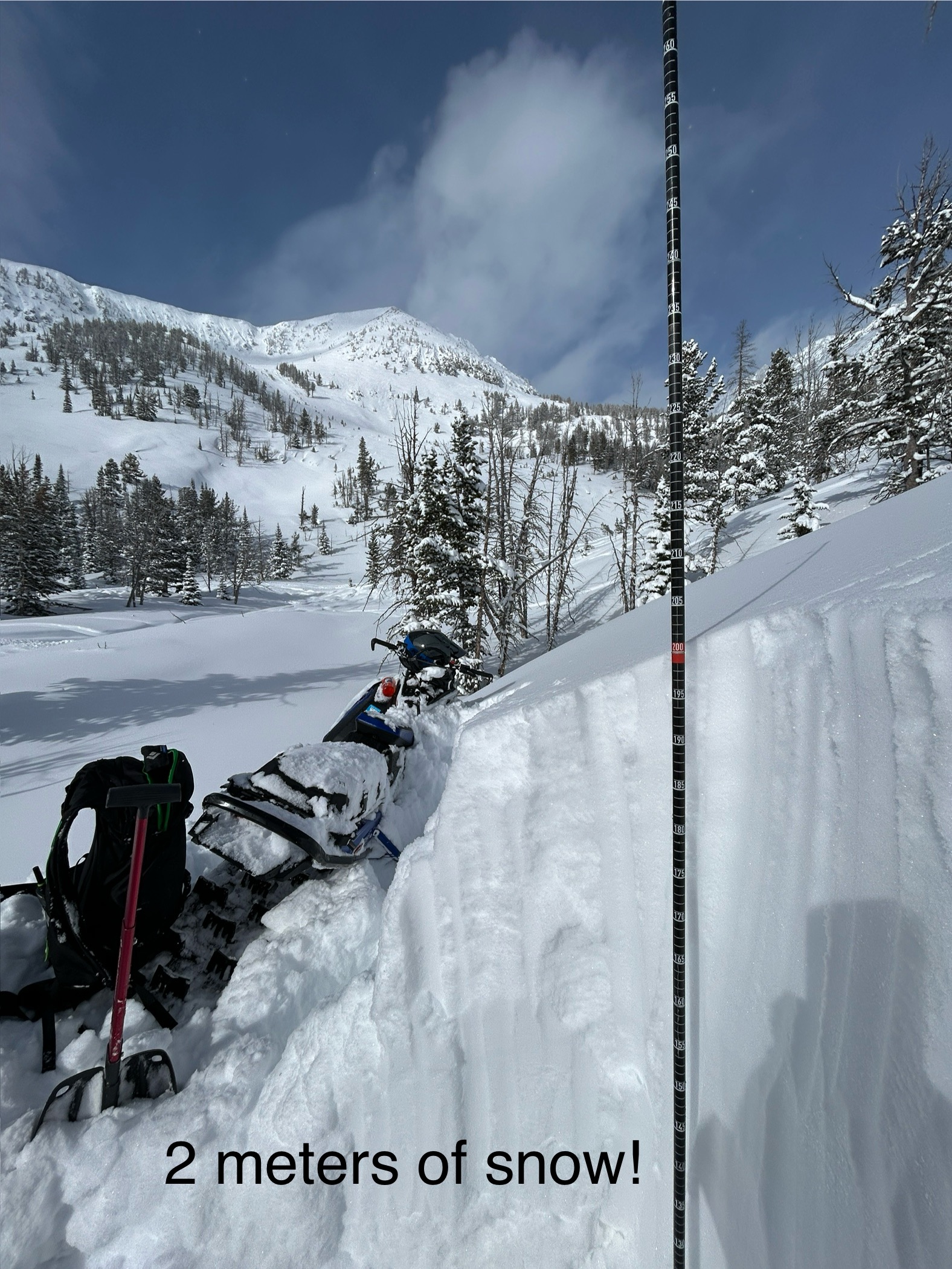
Full Snow Observation ReportVery deep snow past Round Lake today. New snow ranged from 2-4’ deep. My elbows and shouldered were touching the trenches of my sled track as I rode through Star Lake toward the wilderness boundary. New snow was very low density. No natural avalanches observed and ski cuts were non reactive on test slopes.
Full Snow Observation ReportTraveled up Republic Creek, ascending to ridge separating Wyoming and Republic Creeks. Trailbreaking was arduous, ski pen ~ 60-80cm depending on travel under canopy or in more open terrain. Did not formally evaluate HST, suffice to say it was significant. HS 260cm at 9600ft. Skies obscured all day with varying snowfall rates, S1-3. Moderate W/SW winds and PLENTY of transport. Observed a D2 natural (wind/storm slab? Hard to say from my vantage) on E aspect at ~9200ft. A member of our party intentionally triggered a 30-40cm storm slab on a small convexity in treed terrain in Wyoming Creek. No other natural or skier triggered activity observed, though visibility limited our view to the more complex terrain further up Republic. Ended the day with a Woody Ridge lap and encountered no cracking/slabbing of new snow in this zone. Snowfall was intensifying as we left the drainage around 1700.
Full Snow Observation ReportObserved a few old avalanches today, maybe from the 2/8 storm. Although well out of the advisory area, helpful for skiers in the Red Lodge Area.
1) Silver Falls Cr (Lake Fork), 9200', E, HS-N-R4-D1.5-O 45cm thick pencil hardness slab, HS 135. Pulled out into upper 20 degree terrain. 2-3 avalanches here, with one crown ~600' long.
2) Misery Bowl (Main Fork), 9400', ESE, HS-N-R2-D2.5-O A few avalanches here similar to above, with one significantly larger avalanche appearing to have failed on depth hoar where the bowl tips South. 2-4' crown, ran about 600' vertical.
Full Snow Observation Report
On the summit of Peets Hill we saw a fresh natural wind slab avalanche, around 1130 this morning. West aspect, 5055’ elevation. Relatively harmless to a cat or small dog C1, R2. We also saw similar slides on a slope lower on the hill. Photos attached.
Cold east winds were forming drifts on top of old drifts from previous east wind events. In some spots these old drifts have made the slope steeper than the usual slope of the ground below, essentially creating new/temporary avalanche start zones. The avalanche potential size is currently small, but with the right amount of snow, and probably east wind, there is potential for avalanches that could be large enough to bury or injure a cat (C2) or even a large dog (C3).
In some places my paws punched through into weak sugary snow below, so with big storm or loading event there might be potential for a persistent slab that could hurt a human in a few areas where slopes are steeper than 30 degrees.
HS was shoulder deep on a small border collie where not drifted. There were some old ski tracks as well which looked like more fun to trench through than just walking on the trail.
Full Snow Observation ReportToured the ramp this morning. We found a lot of snow covering the skin track from yesterday. Little to no wind affect near the ridge, however we did find the occasional deep, slightly stiff drift on more northerly/easterly aspects. While skiing a se facing slope, we found cracking and some cohesion in the new snow. This was mostly on very steep and rocky terrain features. The most notable of these was about 20’ wide, the bottom part of the new slab only moved about 6” before stopping, while the upper foot of the slab ran the full face. Most steep chutes we skinned near had a debris pile at the bottom (running full path).
Full Snow Observation ReportLevel one avalanche class dug multiple pits. ECTN x3 45-60cm down and one ECTP #16 on the same layer below recent storms 50cm down. Height of snow ranges from 155-200cm around Bradley meadows.
Full Snow Observation ReportWe toured into Beehive Basin up and over to Bear Basin down through Spanky's to the valley bottom. A foot of low-density new snow fell with very little wind. The skiing was excellent, and stability was good (for now). The new snow was not behaving cohesively (like a slab) in the terrain we visited, and loose snow avalanches or sluffs were our primary concern. We triggered some loose snow avalanches that quickly picked up speed. These would cause skiers and riders problems in steep or technical terrain but were relatively harmless in open/ non-technical terrain.
Snowpit analysis in the upper-elevation southwest-facing terrain revealed no significant instability, with ECTN scores in the teens and 20s, and no failure at the January layer of near-surface facets. Up and over the ridge on an east-facing slope was also relatively stable (and deep - 230 cm). We did get a repeatable ECTP29 75 cm down from the surface, but no failure on the January surface hoar layer.
We felt comfortable traveling in and around avalanche terrain using our safe travel practices (one at a time on the steeps, beacon, shovel, probe) and staying mindful of the loose snow avalanches.
WE ARE IN A PERIOD OF DYNAMIC WEATHER. WIND or more new snow will change stability, making conditions more dangerous. Pay close attention to signs of increasing instability, such as avalanche activity and shooting cracks.
Finally, because every party needs a pooper... be cautious around tree wells. Non-avalanche-related snow immersion accidents are a very real threat right now.
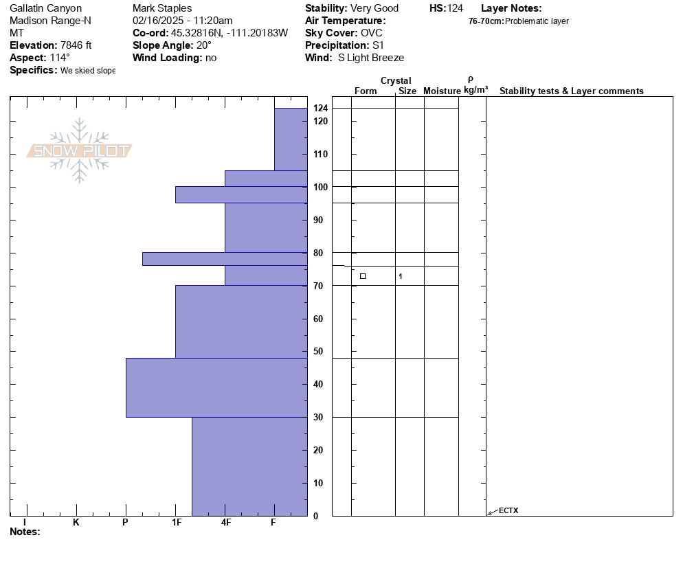
Full Snow Observation ReportWe toured from Gallatin River up to 8000'. Generally strong, deep, snowpack. We did not look at north-facing snow at the lowest elevations - that could be weak but doesn't have much of a load. Pretty amazing to have such good coverage all the way down the to river level.
Full Snow Observation Report
Got an early start on a tour in the Northern Madison range, exploring subalpine terrain.
We observed approximately 15-20” of fresh snow which was unconsolidated, and didn’t observe any wind affected areas, even at mountain tops and ridge tops. Also did not see any cracking as we broke trail and skied over test convexities. The snow was quite light as well, and new snow appeared to be right side up.
Snow pit results were unremarkable on a SE aspect at 9k feet.
Lots of snow available for transport!
Full Snow Observation Report11:40
8017ft
147 SE
HST 85cm
25 degrres
ECTN 14 20 down
CT 11 q1 20 down
ECTN 19 20 down
CT5 q2 20down
12:10
8129ft
33 NE
HST 165 cm
10 Degrees
ECTN 26 34 down
CT 16 Q1 32 down
ECTN 19 30 down
SS-ASc-R1-D.5-I
310 Degrees NW
8129ft
Full Snow Observation Report

