Snow Observations List
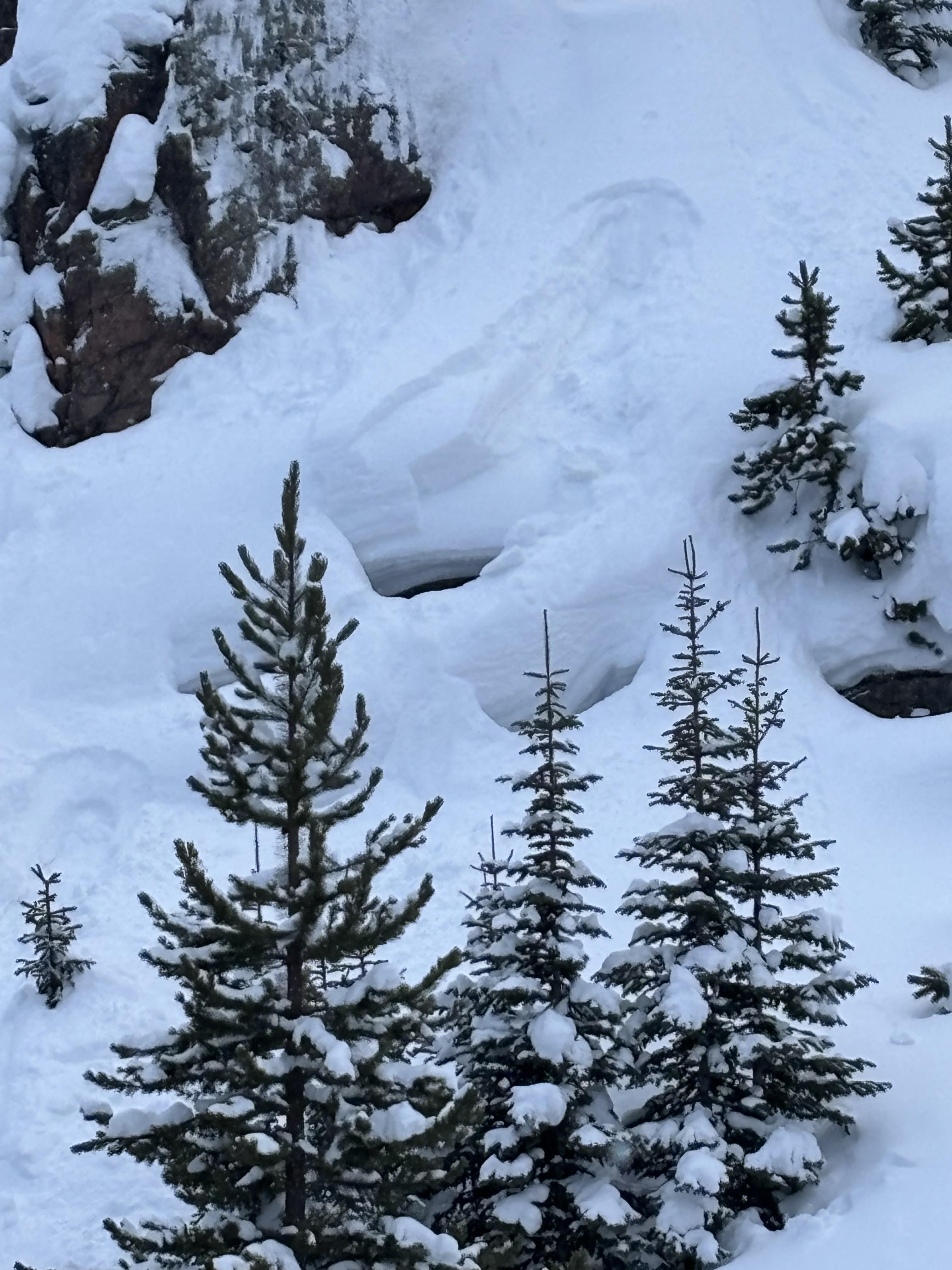
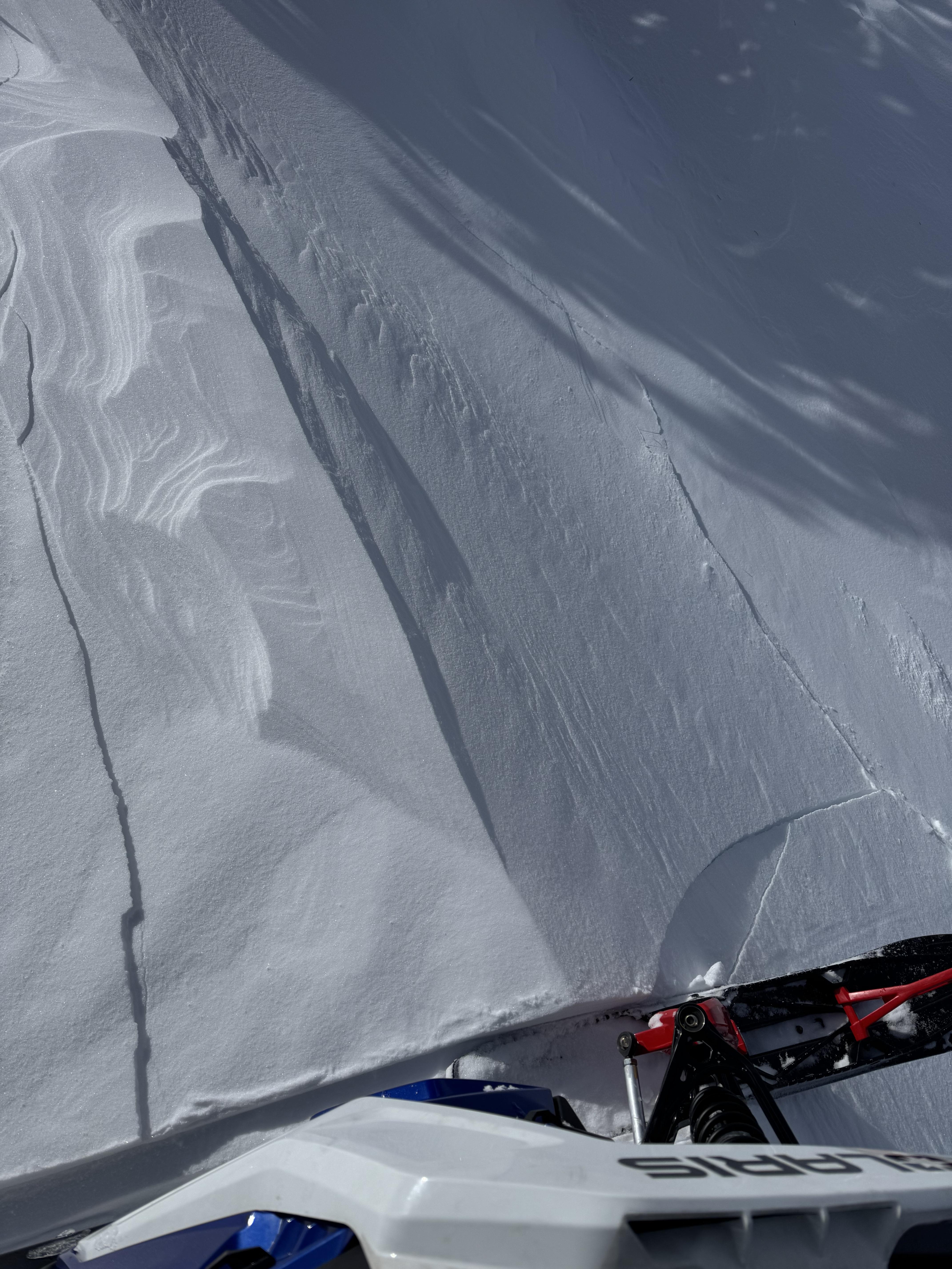
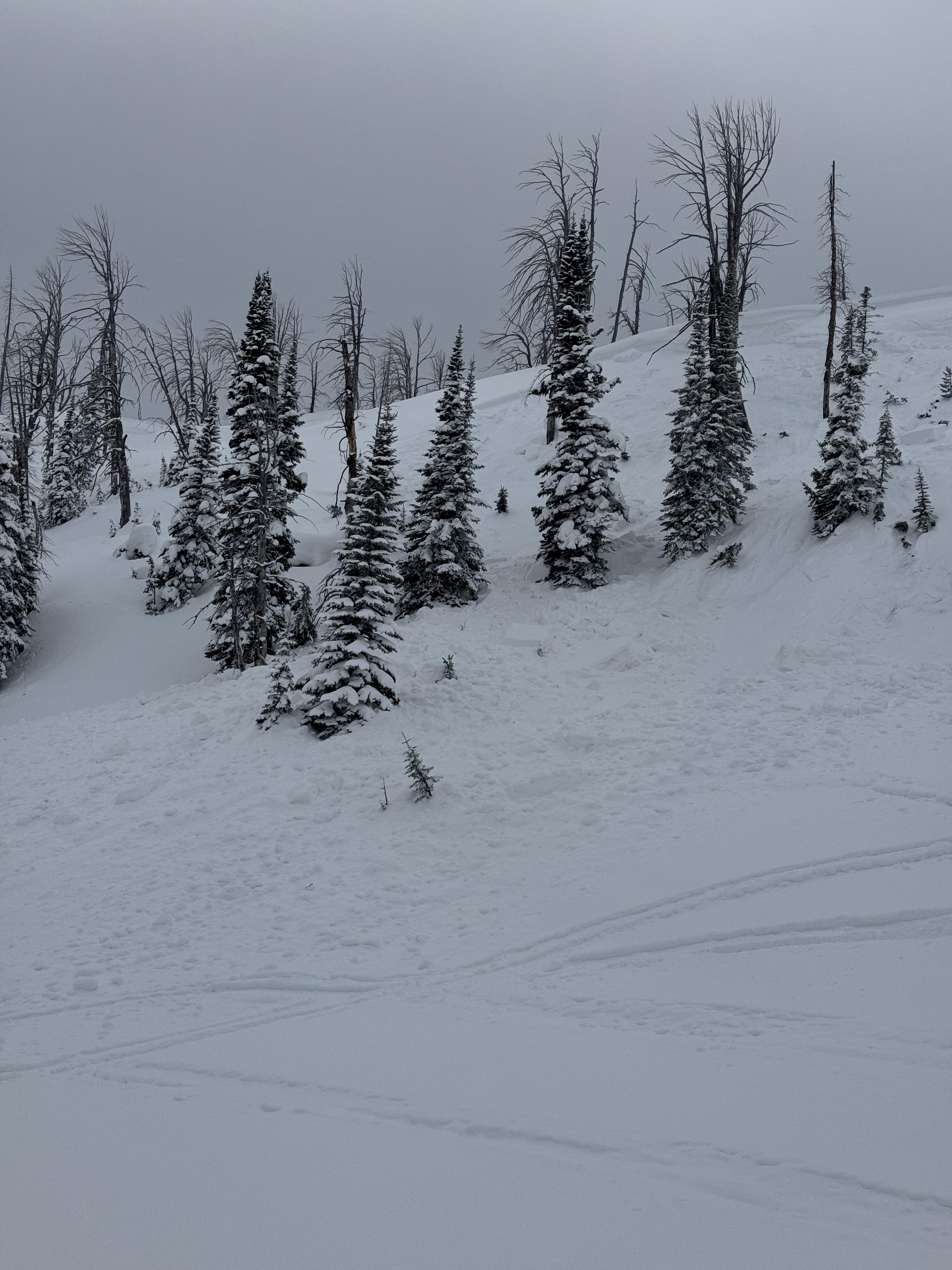
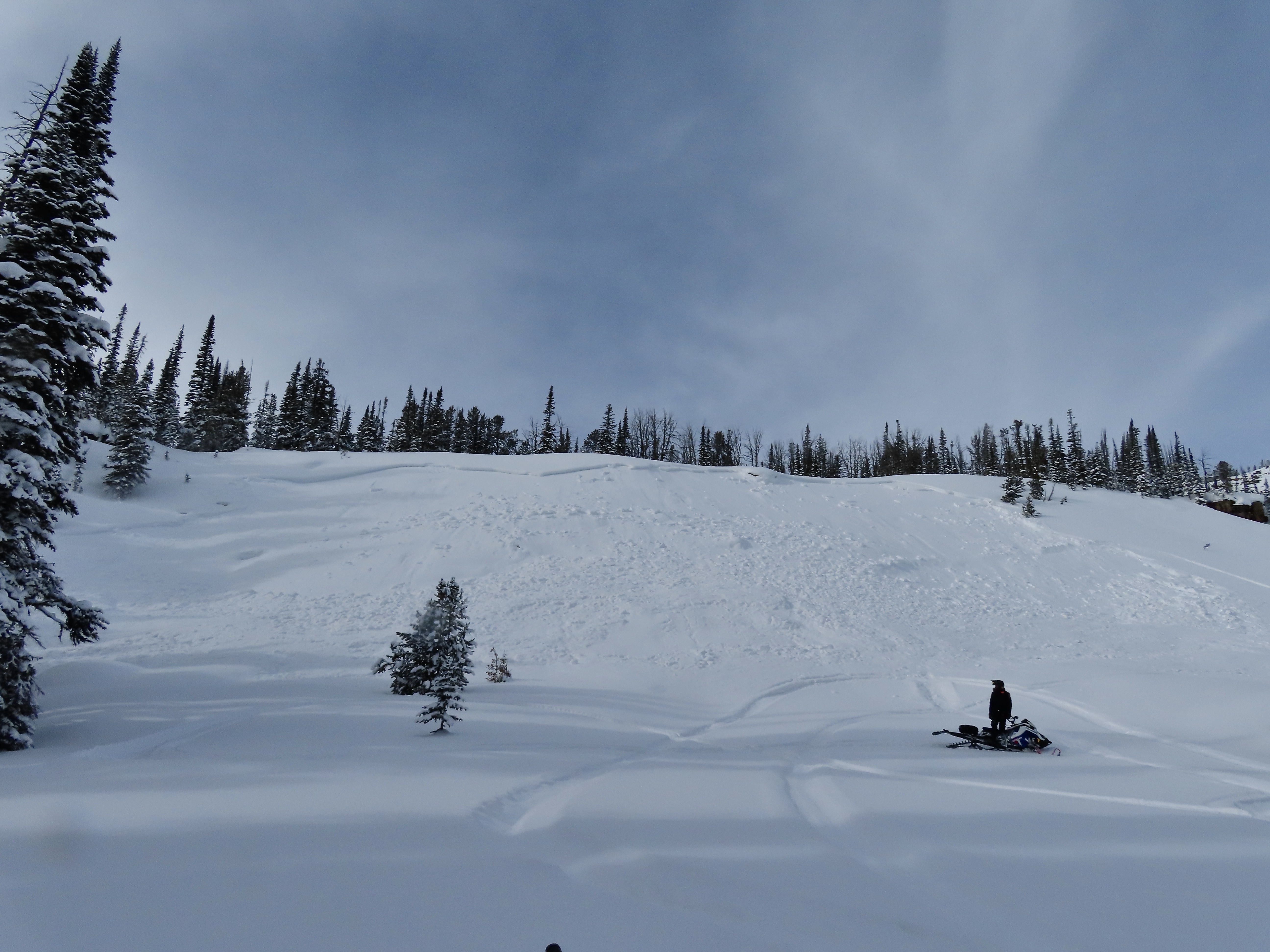
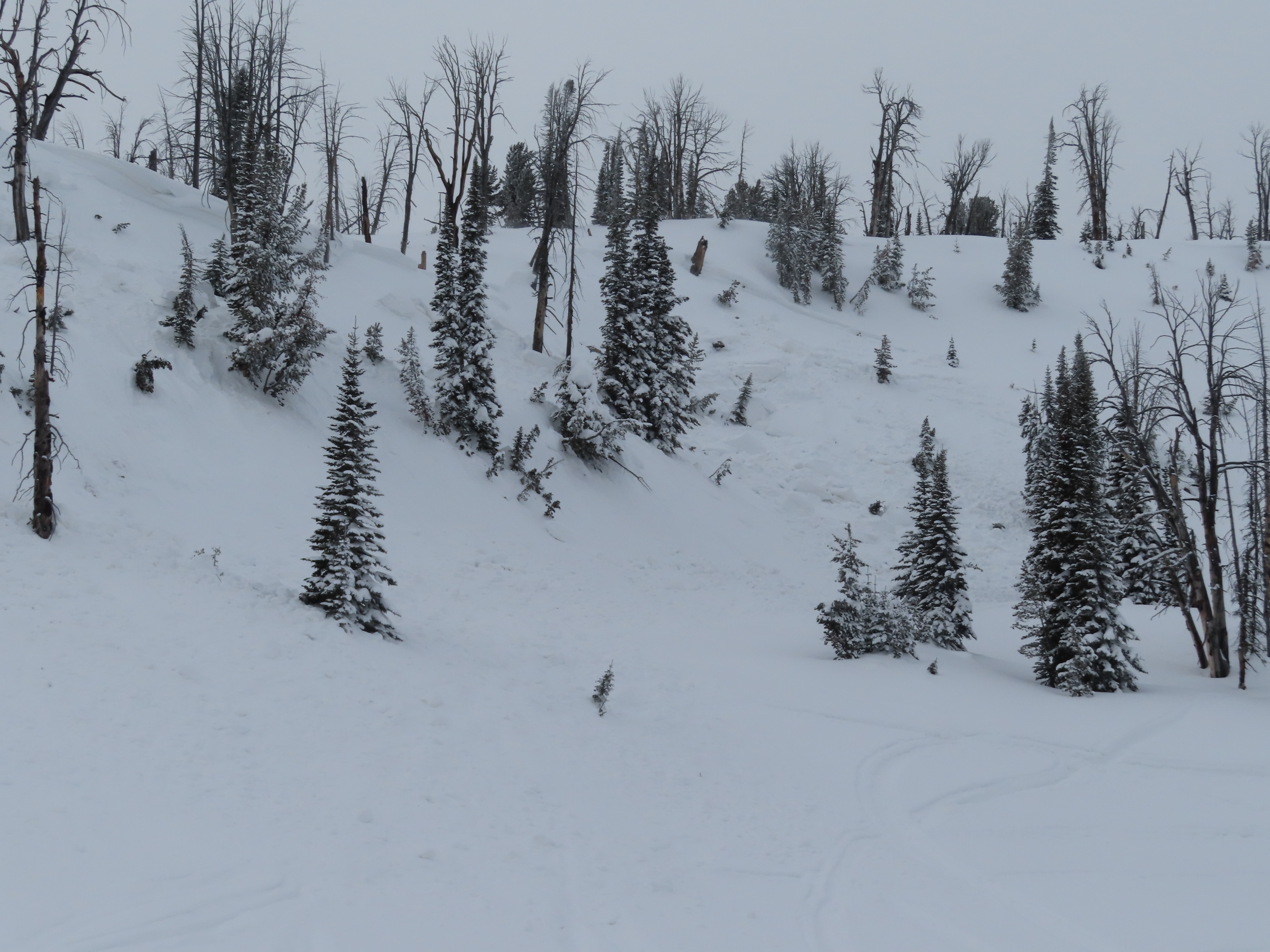
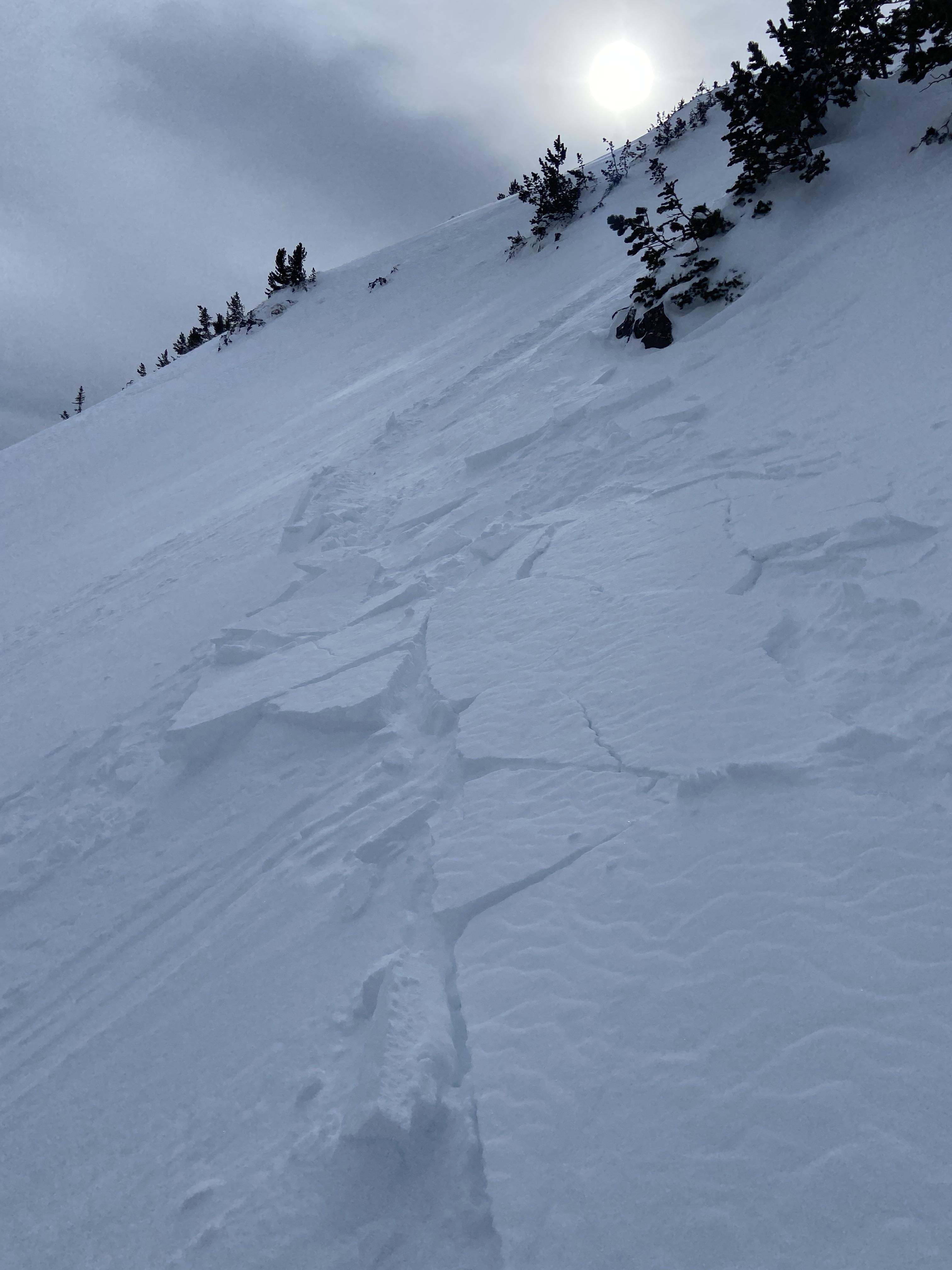
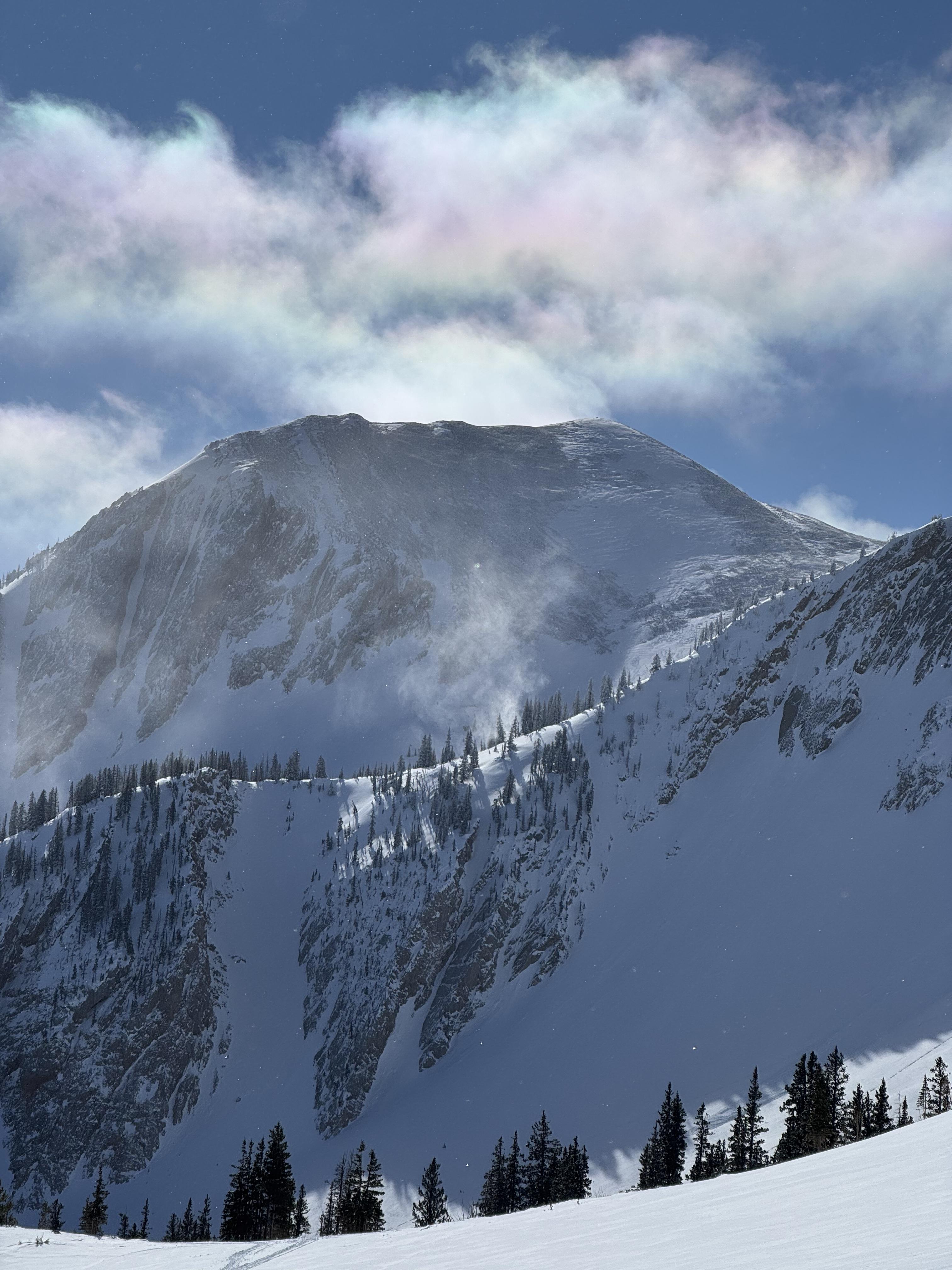
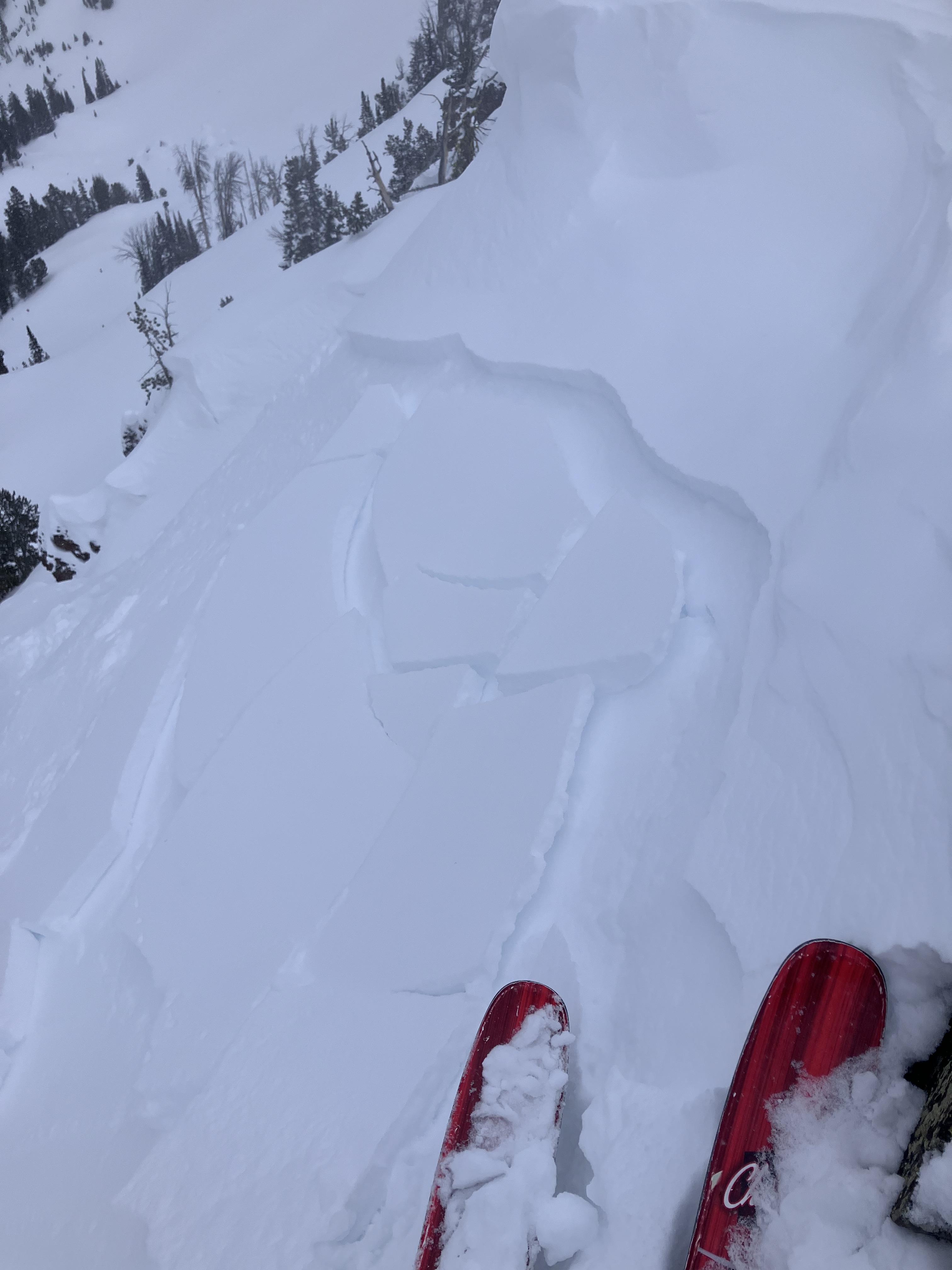
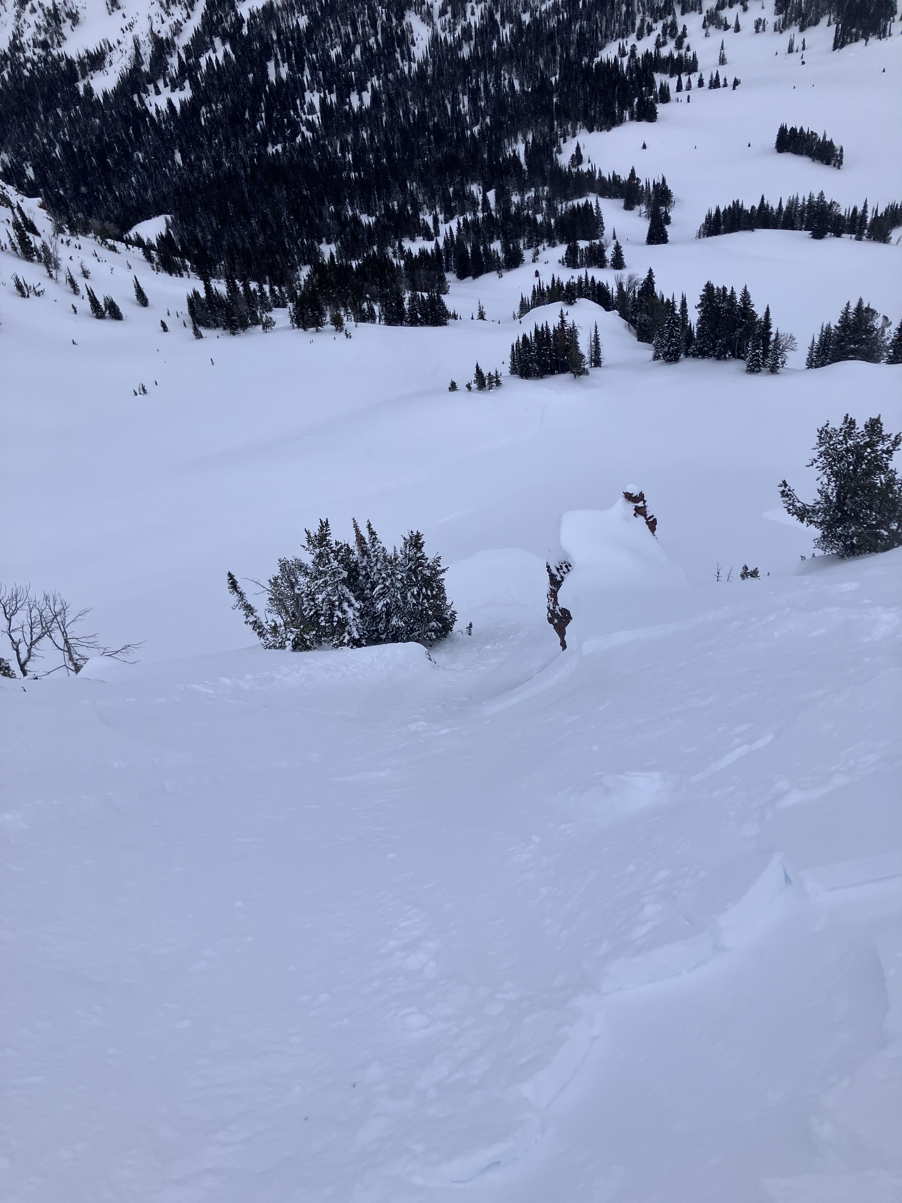
From IG message: “Buck ridge, snowmobile triggered avalanche. Propagated storm slab.”
Full Snow Observation ReportAfter taking a heavy landing on top of a pillow just off the highway past lolo pass road, I looked back up and could visibly see some layer distinction about 8-12” deep. This is the same weakish layer we found in our column test, where we got ect16 just below robs knob. This was on a north facing aspect.
Full Snow Observation ReportIn Hayden Creek, we saw many D1-D1.5 wind slab avalanches seen on leeward slopes- east and northeast slopes at and above treeline. We observed cracking in wind loaded areas above treeline. Dug a pit and did a quick ECT on E facing terrain at 9750ft. HS 190-210. ECTN6 30cm deep. No dirt layer.
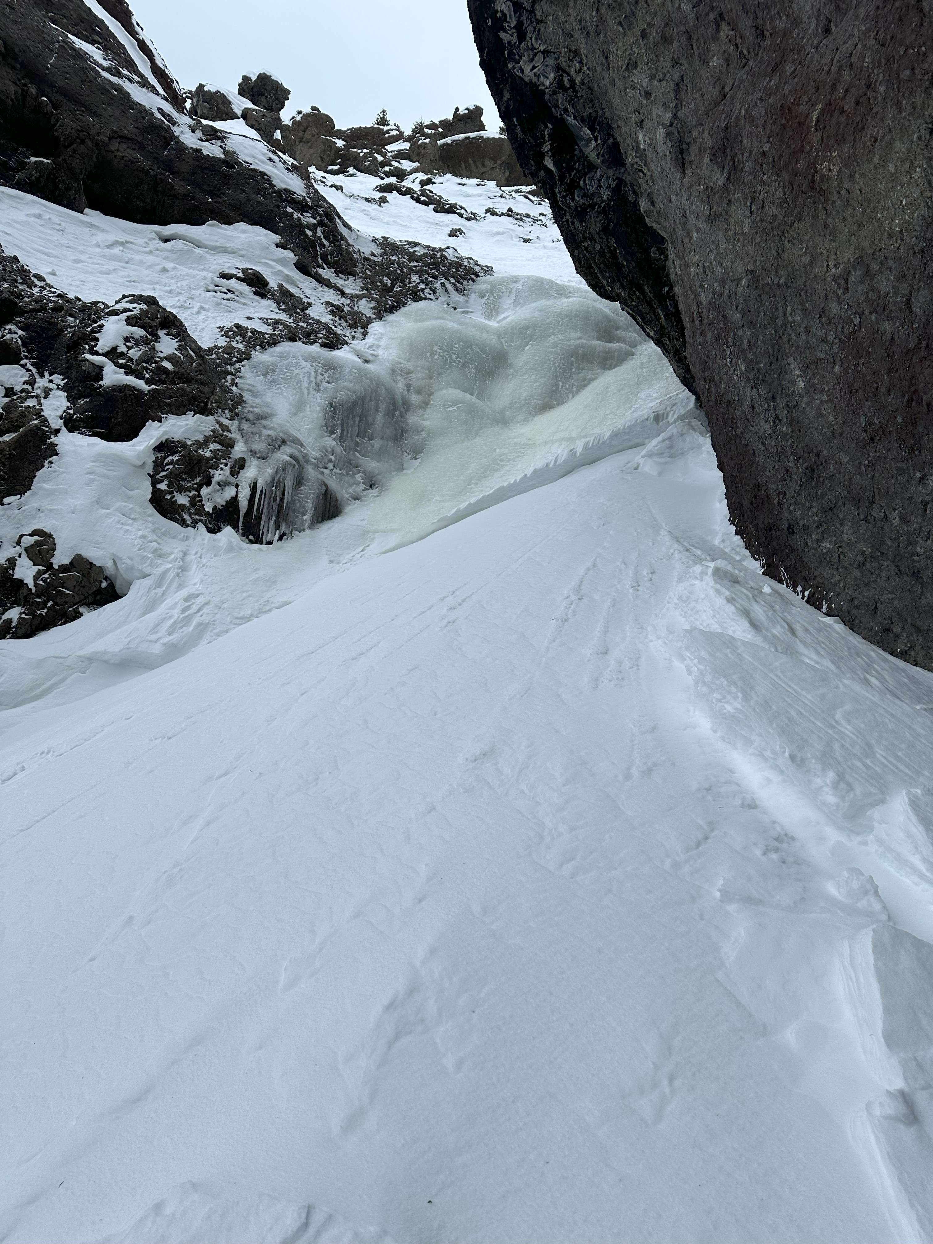
Full Snow Observation ReportToday we saw a D1 dry loose in the Ghost Couloir. It ran 200 feet. We also felt one small collapse on a south facing slope. No other avalanches observed.
Full Snow Observation ReportAvalanche in Lionhead. Broke on wind slab then triggered persistent slab underneath.
Full Snow Observation ReportHowdy gents! Some pals and I skied the the Throne today. 4-8" of low-med density snow, mostly unaffected by wind. South wind was blowing on and off at 5-15mph throughout the day across the ESE face, and swirling N wind down in the runout below Naya Nuki. Not much for wind transport and we felt good skiing the steep N facing trees and the open snowfield on the NE face. No cohesion noted and storm snow seemed to be bonding well to the underlying varied surface. We did avoid the NE Couloir off the throne as the top appeared to be slabbing up with an isolated S windload. No obvious signs of instability otherwise and fantastic skiing. That said, if the wind starts to ramp up, all bets are off the table in my mind. Washboards on the road in were f@ckin' brutal, but the parking lot was easy/ semi plowed.
cheers, Turnage
(406) 580-3636
Full Snow Observation ReportSkied Ellis yesterday, good snow but quite busy. Dug a pit at ~8000’, ENE aspect. No failure in ECT with snowpack from 130-140cm. Bit of a crust/layer ~ 30cm below surface on open, exposed slopes but not present in forest. Minor wind impact on top slopes, zero wind impact below ~7800’.
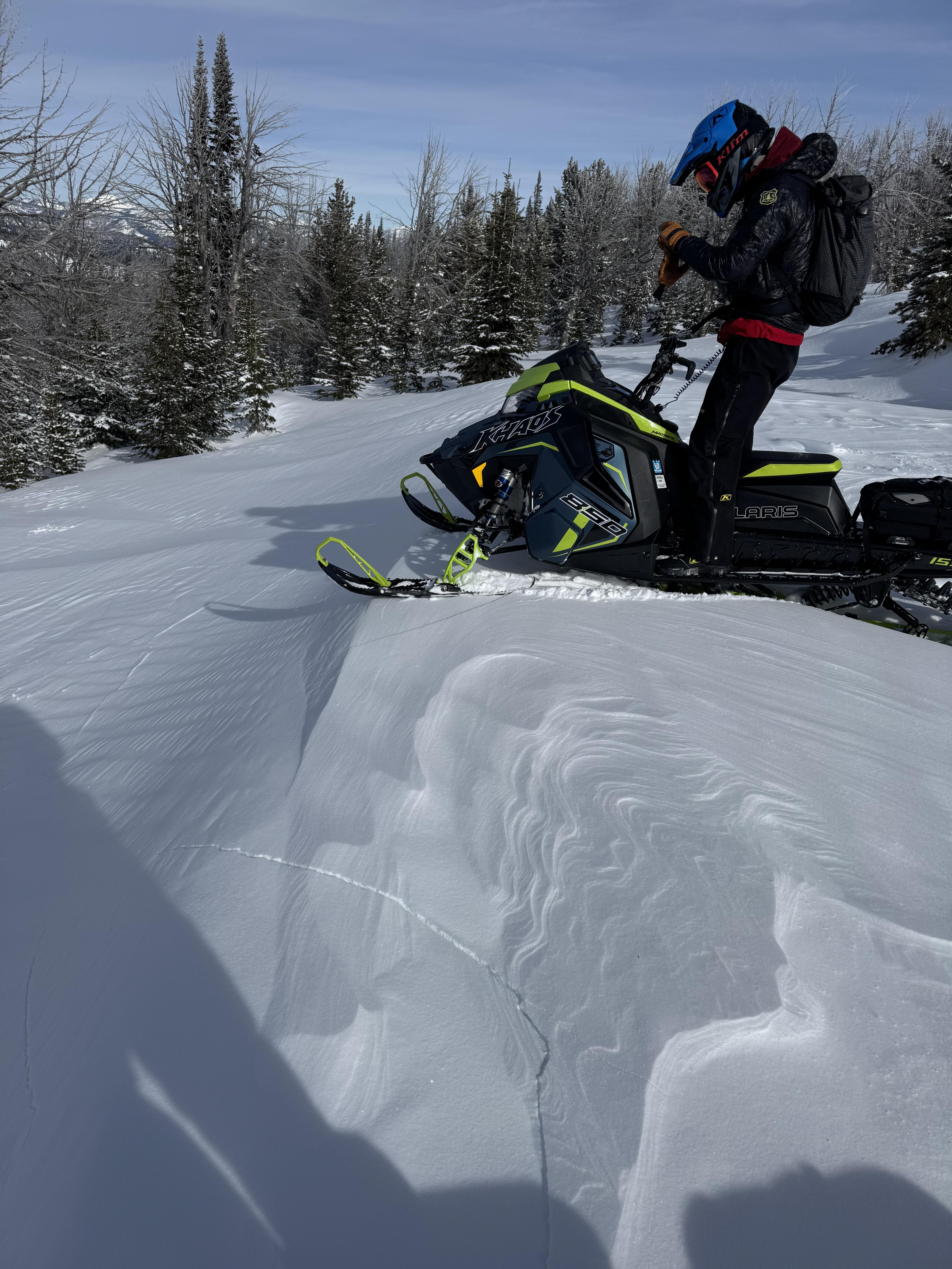
4-6’’ wind slabs cracking on test slopes on W aspects at upper elevations today
Full Snow Observation ReportSledded up storm castle. Spent the majority of the day skinning and skiing NE to NW aspects. Found debris from multiple R1-D1 wind slabs from earlier this week. Found widespread but inconsistent wind slabs (2"- 6" thick) at elevations 6700' to 8400'. Throughout the day cracking and collapsing was noticed multiple times on areas of stiffer snow. Snow quality changed dramatically from powder turns to thick wind crust with no visual surface difference.
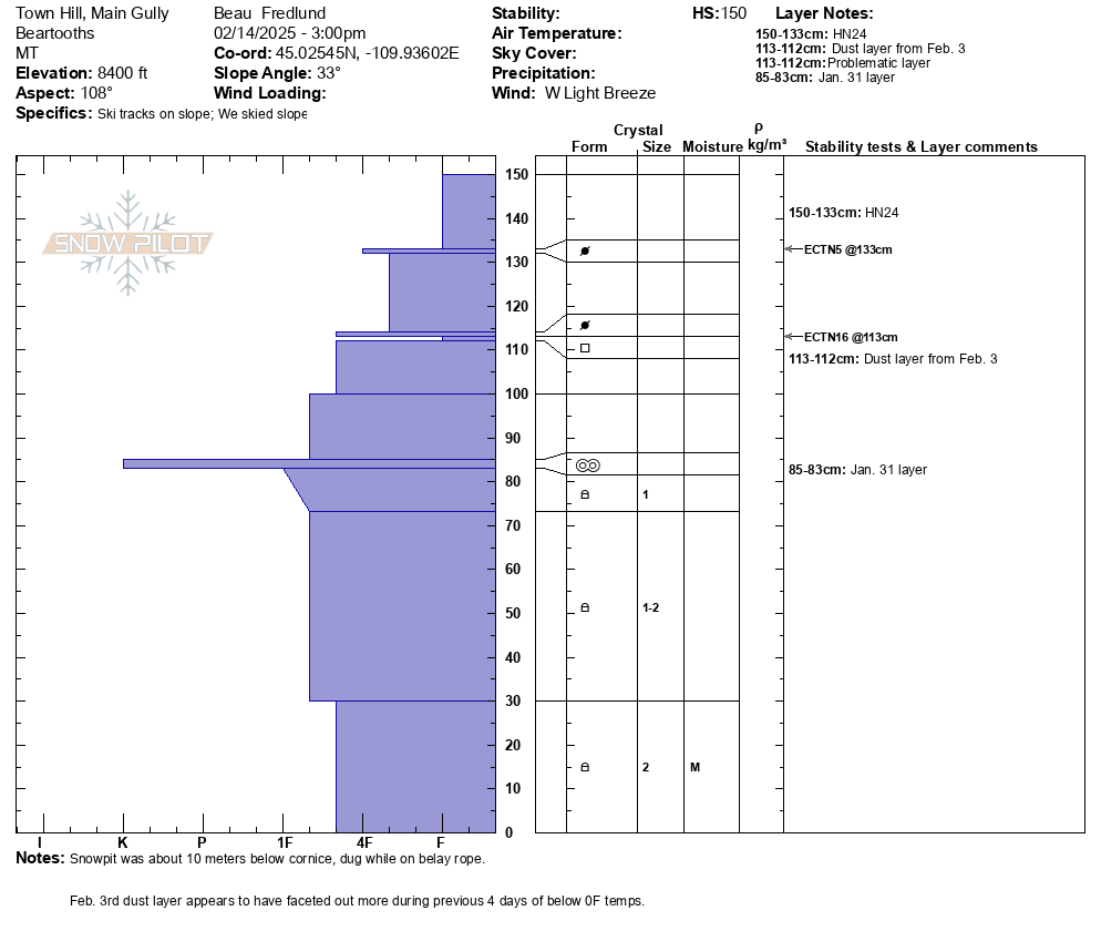
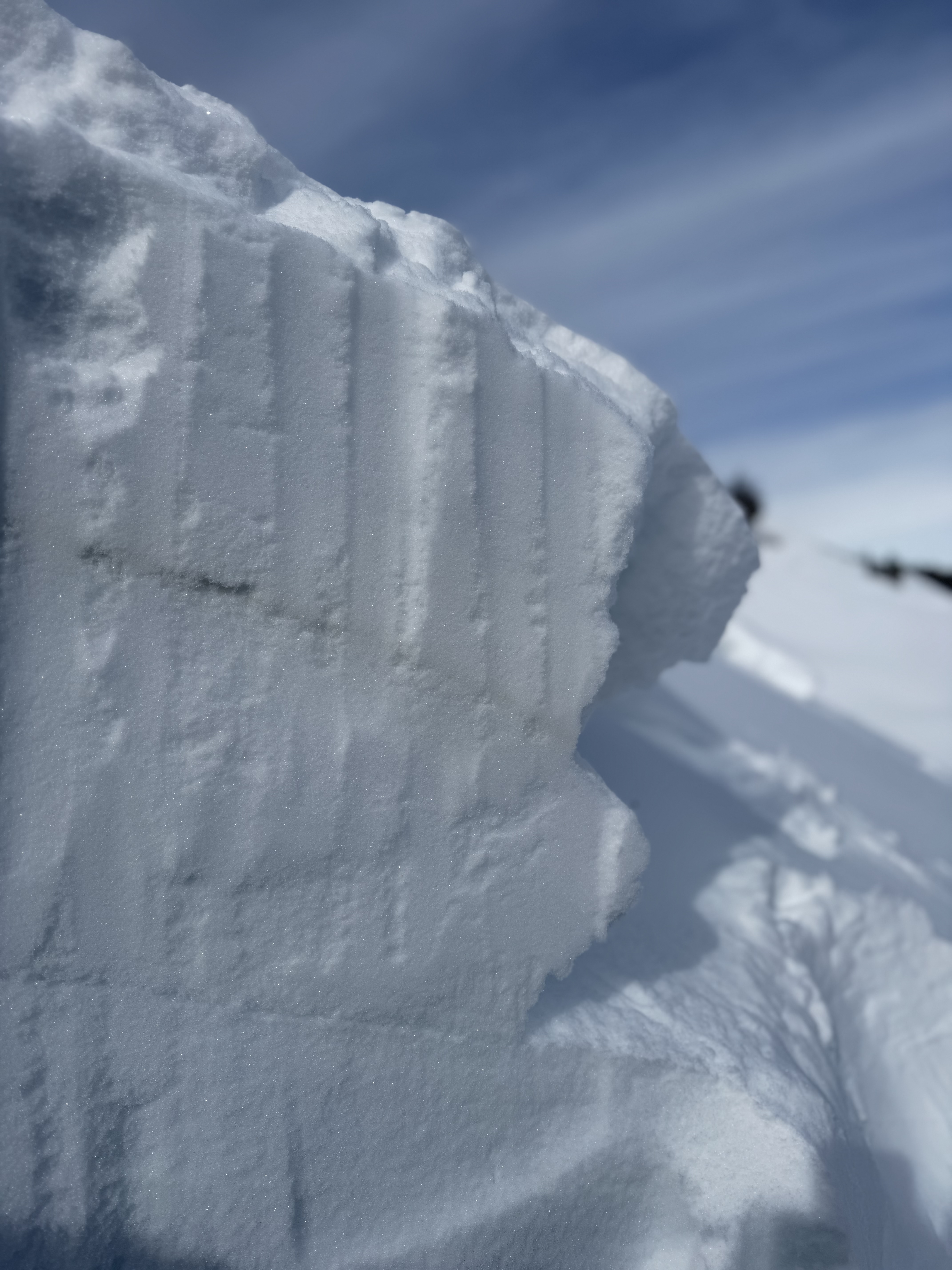
Full Snow Observation ReportRecent snowpits attached from mid elevation E, and SE aspects near Cooke City.
Of note, it appears that the Feb. 3 dust layer, perhaps has become weaker/ more faceted with the recent below 0F temps of the last 4 days. Will continue to monitor this layer of concern as the weekend storm progresses.
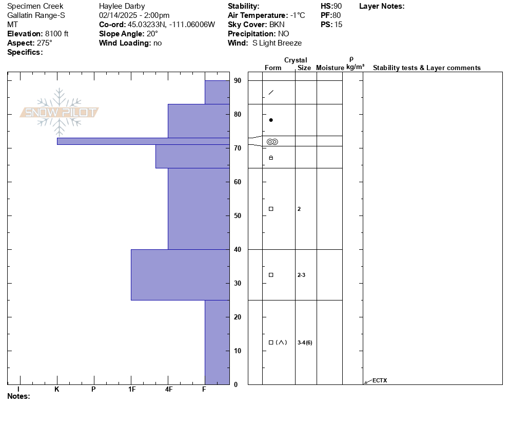
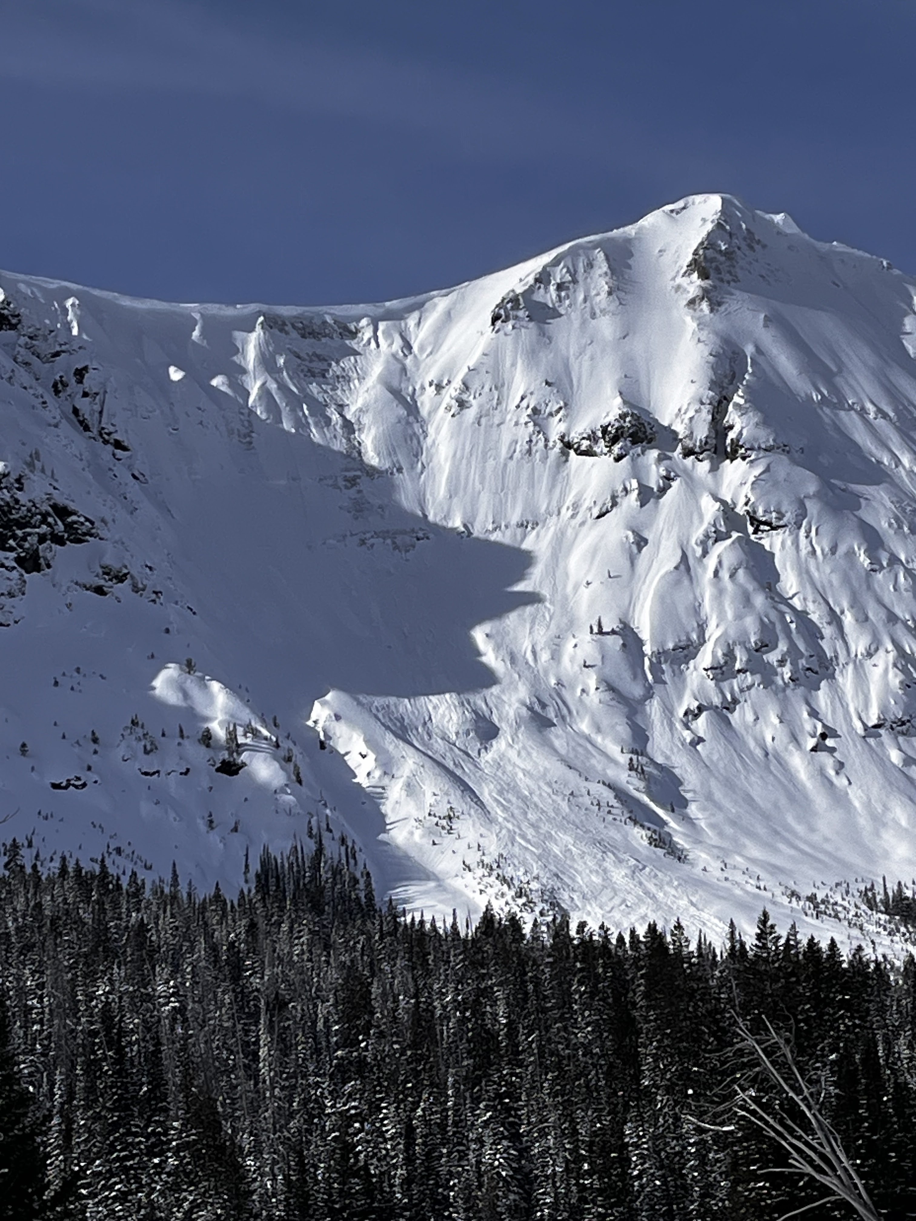
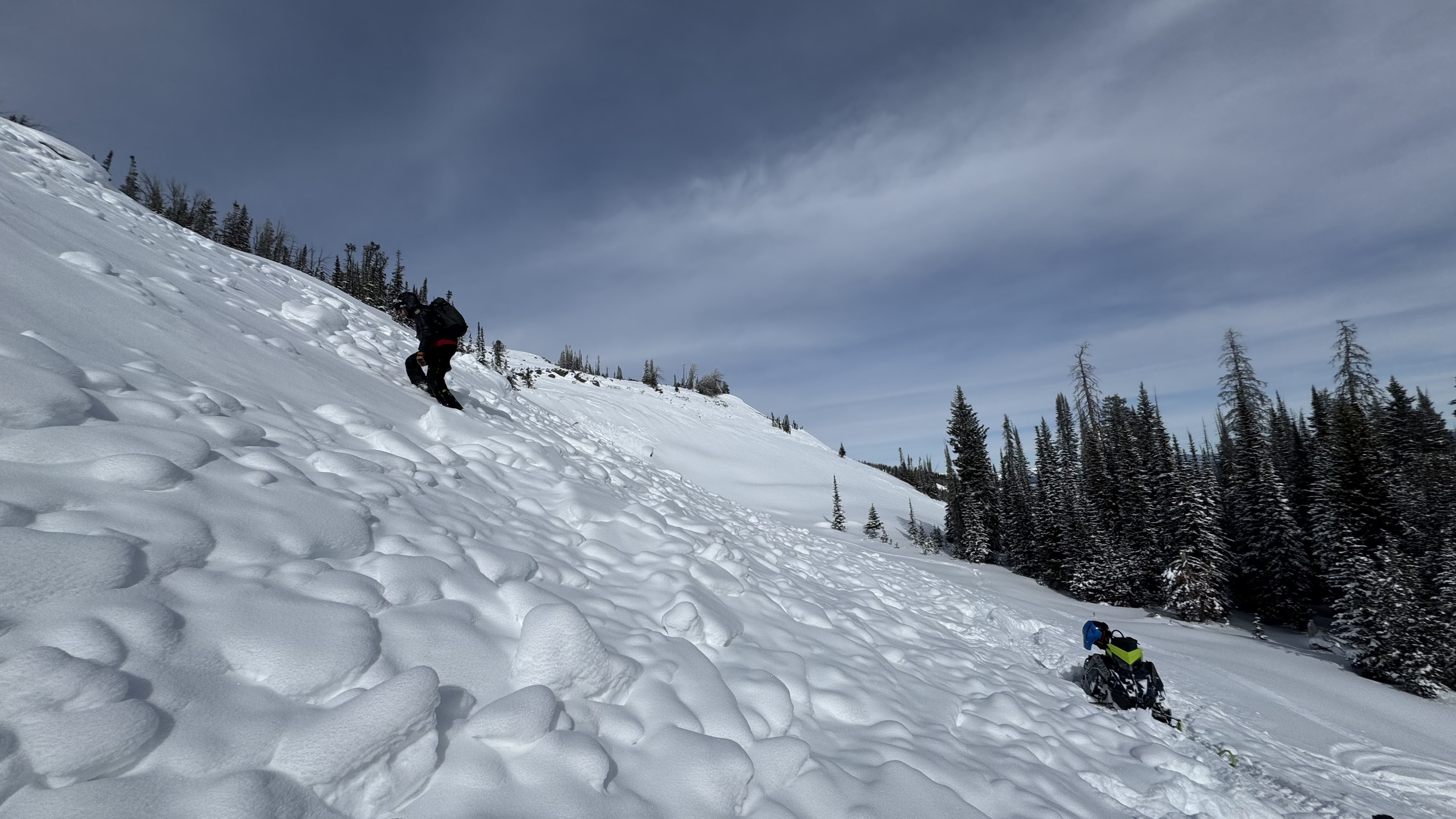
Full Snow Observation ReportWe toured into Specimen Creek today and rode on E-SE and W aspects. Though more snow exists in this location than is typical, the snowpack here is still shallow and weak.
Our snow profile on a W aspect at 8100' showed us some of the weakest snow structure we had seen this season. Sugary, large-grained facets and depth hoar spilled out of the pit wall at the ground. In this location, a 6" slab sits atop this weak snow, but was not cohesive enough to get unstable test results (HS: 90, ECTX).
Outside of very weak structure, no other signs of instability like cracking, collapsing or recent avalanches were spotted.
While the state of the snowpack now provides better coverage and riding than usual, expect to see a jump in avalanche danger on these shallow, weak slopes when/if they receive another good round of snowfall.
Full Snow Observation ReportWe snowmobiled and skiied around the northern bridgers yesterday. Found lots of wind effect. Most faces had been wind scoured, some protected south facing slopes were wind loaded. Noted a few small natural slides, one other group reported to us that they popped a wind slab on a south facing slope. We bailed on our bigger objectives and found some decent snow in a sheltered south facing chute, we did not experience any instability on this but I'm sure on other slopes we would have seen wind slabs. A thicker wind crust was developing in most areas. Snow pack seemed really solid and deep, except near cliffs and hidden rock piles, were we found facets to the ground.
Full Snow Observation ReportNoticed a large cornice triggered avalanche on Mineral Mtn today. Likely broke on 2/12 or early am 2/13. E aspect ran almost to the valley floor. Active Loading today with Strong Gusts from N-S. There were some other small cornice avalanches to the north of this slide that did not trigger larger avalanches.
Full Snow Observation ReportLots of snow transport above treeline today south of Cooke City. Wind gusts were strong.
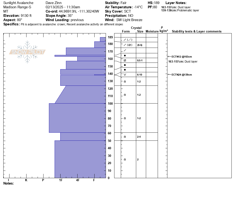
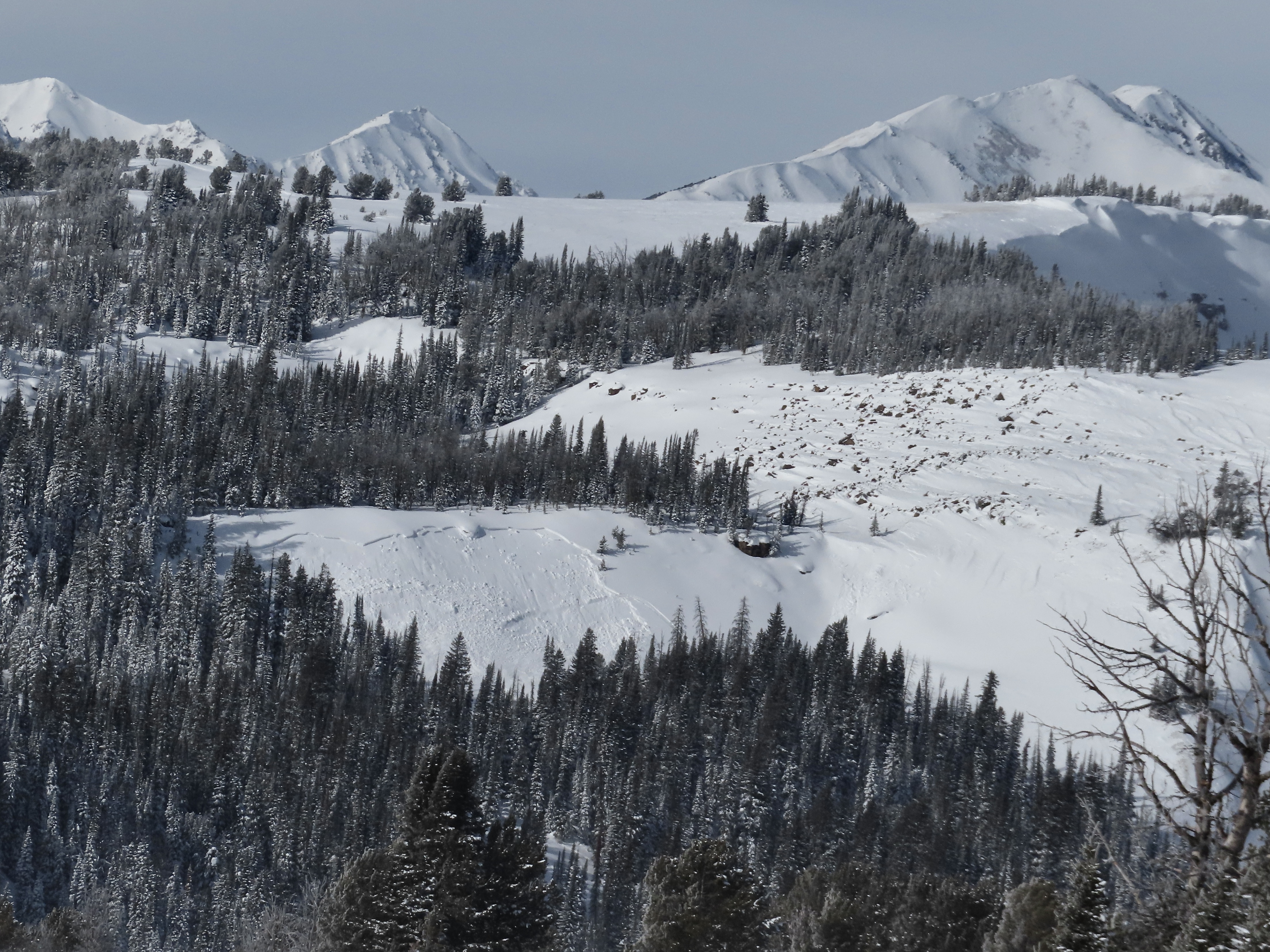
Full Snow Observation ReportWe rode into the Taylor Fork, down into the bottom of Sunlight Basin, across Carrot Basin and to the Wilderness Boundary. We saw four persistent slab avalanches that likely broke last weekend or at the beginning of the week. All appeared to be snowmobiler-triggered R1-2, D1.5-2 avalanches at broke of the January layer of near-surface facets and surface hoar. Additionally, we saw one wind slab avalanche (R1, D1) in Sunlight Basin. This slide was fresh from this morning or yesterday.
We dug a crown profile for the persistent slab avalanche in Sunlight (attached). ECTN24 on the SH layer buried 50 cm (20") deep.
We also dug above Carrot Basin on a northeast-facing slope: ECTP14 & ECTN15 on the NSF layer 50 cm deep.
Near the Wilderness Boundary on a southeast-facing slope: ECTX
Persistent slab avalanches still seem possible, but it they have reached an equilibrium on most slopes that feels like the bottom end of MODERATE danger. Wind slab avalanches are certainly possible with the fresh slide as evidence as well are shooting crack in a drift as we rode in. Outside of large terrain, these will not be that large.
New snow and increasing wind starting tonight will change the equation. The snowpack can take 0.5" of SWE without notching up the danger, but 0.75" with more coming would make human-triggered avalanches likely.
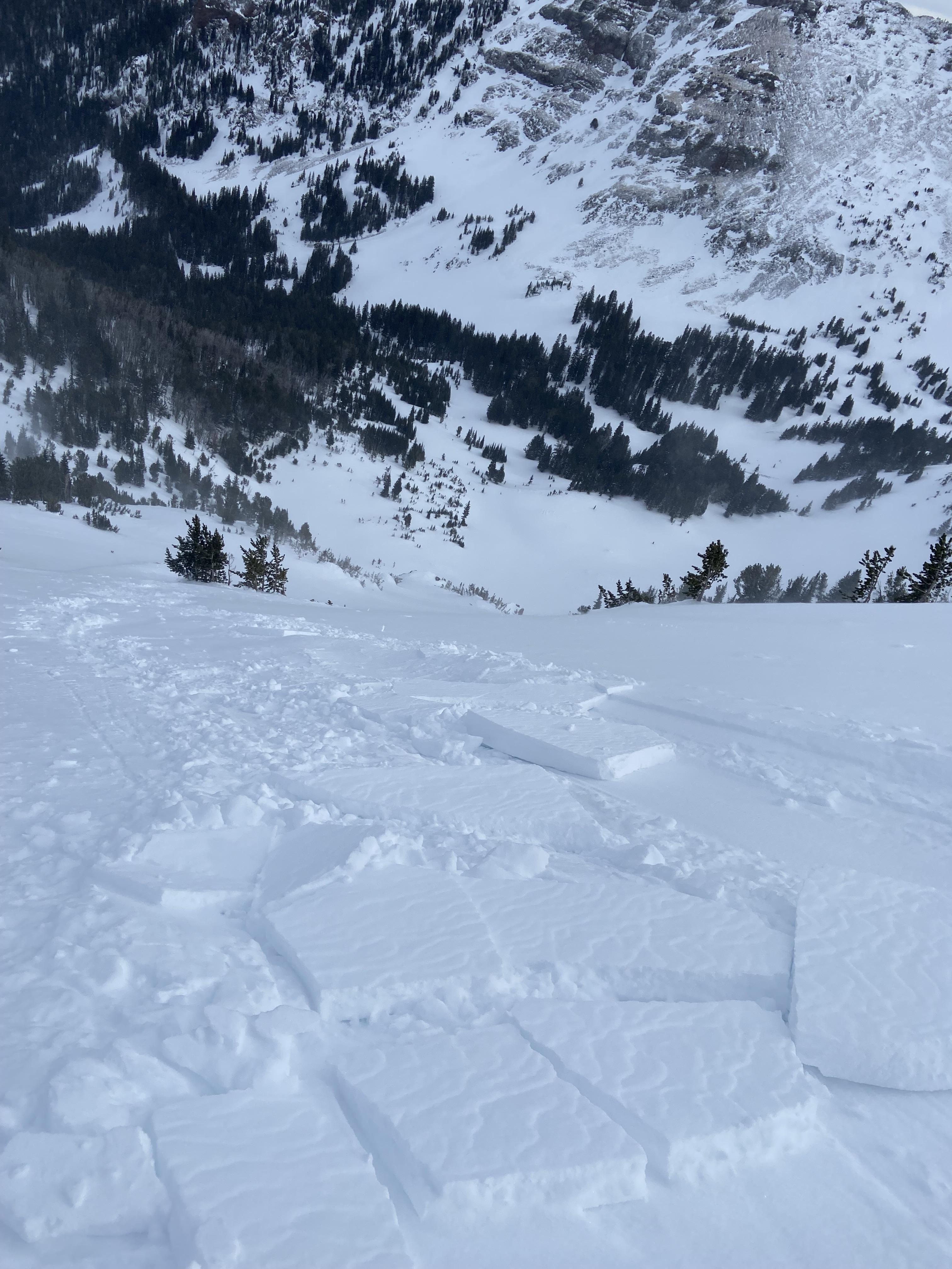
Full Snow Observation ReportTriggered a small wind slab avalanche on the east face of mt Blackmore today at 9850 ft elevation. Around 5 inches thick, ~ 20 ft wide, and ran for 100 ft. No skiers were caught but the slab was very reactive. We were assessing the snow as we climbed but skied a slightly more eastern aspect than we were planning and it was more reactive than expected. Strong winds gusting all day, no active transport observed but obvious that the wind slabs have not settled.
Full Snow Observation ReportClimbed in the Mummy II area in Hyalite today. West facing ~7,500'. Lots of spindrift coming down onto the climbs in the area and we noticed lots of snow blowing around up high. No snow fell while we were there but our trail in was almost fully filled in and covered with a few inches to a couple feet of wind slab on the way out. Saw a small natural slide that started at the bottom of Cyptorchid. Crown was 10' wide and 8-18" deep, it ran 150' down a very shallow slope and covered the climbers trail.
Full Snow Observation ReportClimbing at the Unnamed Wall in the vicinity of The Fat One, there are some 3"–8" wind slabs formed. At least three small pockets had released from 2" to 5" deep. Lots of spindrift and heavy winds filled in parts of our trail in a few minutes.
Full Snow Observation ReportOn a cold day we rode to Frazier Basin and quickly answered the question, “Are wind slab avalanches still possible or have they stabilized?” We saw a natural avalanche (R2, D1.5) that released on a steep headwall just to the south (I believe I’ve heard this referred to as October Bowl).
Wind has affected most of the snow above forested terrain in some fashion. While most soft snow has already been redistributed, some transport continued. We looked at skiing Thing Two but the wind slab problem and poor skiing quality deterred us. I did dig a pit with an ECTP11 breaking 5” down below the slab. Surfaces had hardened and I suspect terrain would have to be pretty steep for an avalanche to release (this type of steep terrain is abundant in Frazier).
We departed Frazier area without skiing and went to look at lower elevation terrain above the Carroll Creek Road. The wind had gotten to the snow here as well but no signs of instability and an ECTN15 18” deep. Triggering an avalanche outside of wind loaded terrain is unlikely.
Full Snow Observation ReportToured up around Blackmore and s cottonwood. Found an extremely reactive windslab in the afternoon. It was thin, but easily triggered and would propagate about the width of each terrain feature (20-50ft). Each slab ran the length of the slope (150-200 ft).
Full Snow Observation Report

